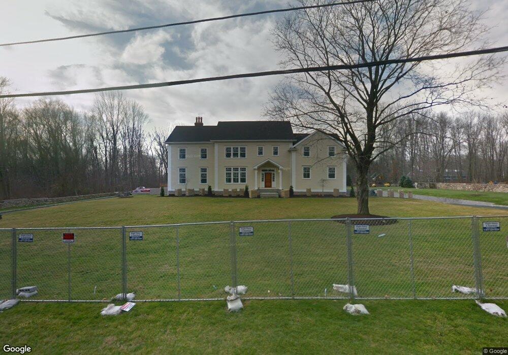
63 Skyview Ln New Canaan, CT 06840
Estimated Value: $2,234,000 - $4,496,000
4
Beds
8
Baths
6,208
Sq Ft
$568/Sq Ft
Est. Value
About This Home
This home is located at 63 Skyview Ln, New Canaan, CT 06840 and is currently estimated at $3,525,231, approximately $567 per square foot. 63 Skyview Ln is a home located in Fairfield County with nearby schools including West Elementary School, Saxe Middle School, and New Canaan High School.
Ownership History
Date
Name
Owned For
Owner Type
Purchase Details
Closed on
Sep 22, 1995
Sold by
Tobin Richard F
Bought by
Lentine Lisa
Current Estimated Value
Home Financials for this Owner
Home Financials are based on the most recent Mortgage that was taken out on this home.
Original Mortgage
$360,000
Interest Rate
7.81%
Mortgage Type
Unknown
Create a Home Valuation Report for This Property
The Home Valuation Report is an in-depth analysis detailing your home's value as well as a comparison with similar homes in the area
Home Values in the Area
Average Home Value in this Area
Purchase History
| Date | Buyer | Sale Price | Title Company |
|---|---|---|---|
| Lentine Lisa | $480,000 | -- |
Source: Public Records
Mortgage History
| Date | Status | Borrower | Loan Amount |
|---|---|---|---|
| Open | Lentine Lisa | $100,000 | |
| Open | Lentine Lisa | $636,019 | |
| Closed | Lentine Lisa | $360,000 |
Source: Public Records
Tax History Compared to Growth
Tax History
| Year | Tax Paid | Tax Assessment Tax Assessment Total Assessment is a certain percentage of the fair market value that is determined by local assessors to be the total taxable value of land and additions on the property. | Land | Improvement |
|---|---|---|---|---|
| 2025 | $33,862 | $2,028,880 | $571,200 | $1,457,680 |
| 2024 | $32,746 | $2,028,880 | $571,200 | $1,457,680 |
| 2023 | $31,387 | $1,657,180 | $614,880 | $1,042,300 |
| 2022 | $30,442 | $1,657,180 | $614,880 | $1,042,300 |
| 2021 | $30,094 | $1,657,180 | $614,880 | $1,042,300 |
| 2020 | $30,094 | $1,657,180 | $614,880 | $1,042,300 |
| 2019 | $30,227 | $1,657,180 | $614,880 | $1,042,300 |
| 2018 | $26,356 | $1,554,000 | $569,310 | $984,690 |
| 2017 | $25,905 | $1,554,000 | $569,310 | $984,690 |
| 2016 | $16,727 | $1,025,570 | $569,310 | $456,260 |
| 2015 | $11,874 | $742,560 | $569,310 | $173,250 |
| 2014 | $11,539 | $742,560 | $569,310 | $173,250 |
Source: Public Records
Map
Nearby Homes
- 113 Skyview Ln
- 474 Ponus Ridge
- 357 Jelliff Mill Rd
- 39 Running Brook Ln
- 185 Interlaken Rd
- 119 Wedgemere Rd
- 470 Frogtown Rd Unit Lot 1
- 1552 Hope St
- 100 Spring Water Ln
- 139 Jelliff Mill Rd
- 202 Weed St
- 77 Putter Dr
- 105 N Stamford Rd
- 60 Redmont Rd
- 19 Woodway Rd Unit 14
- 7 the Reserve at Sterling Ridge
- 865 Hollow Tree Ridge Rd
- 210 Red Fox Rd
- 358 Hoyt St
- 19 Skymeadow Dr
- 49 Skyview Ln
- 81 Skyview Ln
- 317 Thornridge Dr
- 54 Skyview Ln
- 35 Skyview Ln
- 66 Skyview Ln
- 97 Skyview Ln
- 269 Thornridge Dr
- 40 Skyview Ln
- 78 Skyview Ln
- 337 Thornridge Dr
- 98 Skyview Ln
- 309 Thornridge Dr
- 325 Thornridge Dr
- 355 Thornridge Dr
- 275 Thornridge Dr
- 11 Skyview Ln
- 263 Thornridge Dr
- 203 Davenport Ridge Rd