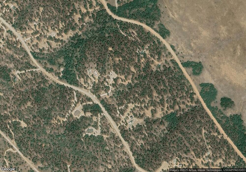
63 Trace Ct Hartsel, CO 80449
Estimated Value: $69,000 - $616,368
Studio
--
Bath
--
Sq Ft
3.3
Acres
About This Home
This home is located at 63 Trace Ct, Hartsel, CO 80449 and is currently estimated at $260,789. 63 Trace Ct is a home located in Park County with nearby schools including Edith Teter Elementary School, South Park Middle School, and South Park High School.
Ownership History
Date
Name
Owned For
Owner Type
Purchase Details
Closed on
May 20, 2020
Sold by
Strong Donald L and Strong Jean E
Bought by
Folk Bradley W and Folk Amy M
Current Estimated Value
Purchase Details
Closed on
Mar 17, 2006
Sold by
Weiss Richard S and Weiss Marta Gilmore
Bought by
Strong Donald L and Strong Jean E
Home Financials for this Owner
Home Financials are based on the most recent Mortgage that was taken out on this home.
Original Mortgage
$22,500
Interest Rate
6.24%
Mortgage Type
Purchase Money Mortgage
Create a Home Valuation Report for This Property
The Home Valuation Report is an in-depth analysis detailing your home's value as well as a comparison with similar homes in the area
Purchase History
| Date | Buyer | Sale Price | Title Company |
|---|---|---|---|
| Folk Bradley W | $460,000 | None Available | |
| Strong Donald L | $30,000 | Security Title |
Source: Public Records
Mortgage History
| Date | Status | Borrower | Loan Amount |
|---|---|---|---|
| Previous Owner | Strong Donald L | $22,500 |
Source: Public Records
Tax History
| Year | Tax Paid | Tax Assessment Tax Assessment Total Assessment is a certain percentage of the fair market value that is determined by local assessors to be the total taxable value of land and additions on the property. | Land | Improvement |
|---|---|---|---|---|
| 2025 | $1,107 | $19,800 | $19,800 | $0 |
| 2024 | $961 | $18,360 | $18,360 | $0 |
| 2023 | $961 | $19,084 | $19,084 | $0 |
| 2022 | $534 | $9,169 | $9,169 | $0 |
| 2021 | $518 | $9,169 | $9,169 | $0 |
| 2020 | $432 | $7,420 | $7,420 | $0 |
| 2019 | $418 | $7,420 | $7,420 | $0 |
| 2018 | $439 | $7,420 | $7,420 | $0 |
| 2017 | $392 | $7,610 | $7,610 | $0 |
| 2016 | $386 | $7,400 | $7,400 | $0 |
| 2015 | $394 | $7,400 | $7,400 | $0 |
| 2014 | $371 | $0 | $0 | $0 |
Source: Public Records
Map
Nearby Homes
- 5113 Campfire Rd
- 4376 Campfire Rd Unit 763
- 2841 Singletree Rd
- 0 Oahu Rd Unit 66 REC5924913
- 702 Bellows Rd
- TBD Oahu Rd
- 2660 Campfire Rd
- 1559 Wagon Wheel Rd
- 620 Wagon Wheel Rd Unit 624
- 3826 Singletree Rd Unit 728
- 1198 Wagon Wheel Rd
- 3430 Singletree Rd Unit 1348
- 1430 Singletree Rd
- 539 Tapedero Rd Unit 600
- 311 Harness Way
- 0 Singletree Rd Unit REC7886163
- 0 Singletree Rd Unit S1064407
- TBD Chubb Ct
- 0 Chubb Ct Unit 5010589
- 0 Chubb Ct Unit REC3716822
- 74 Trace Ct
- 1211 Bellows Rd
- 1173 Bellows Rd
- 1173 Bellows Rd Unit 1456
- 1259 Bellows Rd
- 1184 Bellows Rd Unit 1445
- 1184 Bellows Rd
- 1250 Bellows Rd
- 1506 Bellows Rd
- 2187 Bellows Rd
- 1439 Bellows Rd Unit 1461
- 1439 Bellows Rd
- 1487 Bellows Rd
- 1931 Bellows Rd
- 2120 Bellows Rd
- 394 Bellows Rd
- 120 Bellows Rd
- 654 Bellows Rd
- 2008 Bellows Rd
- 188 Bellows Rd
