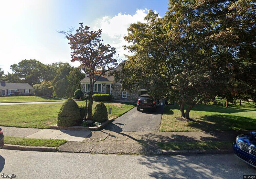
63 Varnum Rd Norristown, PA 19403
West Norriton Township NeighborhoodEstimated Value: $393,000 - $565,000
3
Beds
2
Baths
2,136
Sq Ft
$226/Sq Ft
Est. Value
About This Home
This home is located at 63 Varnum Rd, Norristown, PA 19403 and is currently estimated at $483,286, approximately $226 per square foot. 63 Varnum Rd is a home located in Montgomery County with nearby schools including Charles Blockson Middle School, Paul V Fly Elementary School, and East Norriton Middle School.
Ownership History
Date
Name
Owned For
Owner Type
Purchase Details
Closed on
Aug 26, 1999
Sold by
Walchonski Michael E and Walchonski Lisa
Bought by
Proietto Michael W and Proietto Tracey A
Current Estimated Value
Purchase Details
Closed on
Jan 28, 1994
Sold by
Associates Relocation Management Co Inc
Bought by
Walchonski Michael E and Walchonski Lisa
Create a Home Valuation Report for This Property
The Home Valuation Report is an in-depth analysis detailing your home's value as well as a comparison with similar homes in the area
Home Values in the Area
Average Home Value in this Area
Purchase History
| Date | Buyer | Sale Price | Title Company |
|---|---|---|---|
| Proietto Michael W | $158,000 | -- | |
| Walchonski Michael E | $132,700 | -- |
Source: Public Records
Tax History Compared to Growth
Tax History
| Year | Tax Paid | Tax Assessment Tax Assessment Total Assessment is a certain percentage of the fair market value that is determined by local assessors to be the total taxable value of land and additions on the property. | Land | Improvement |
|---|---|---|---|---|
| 2025 | $6,467 | $132,350 | $46,930 | $85,420 |
| 2024 | $6,467 | $132,350 | $46,930 | $85,420 |
| 2023 | $6,394 | $132,350 | $46,930 | $85,420 |
| 2022 | $6,352 | $132,350 | $46,930 | $85,420 |
| 2021 | $6,313 | $132,350 | $46,930 | $85,420 |
| 2020 | $6,125 | $132,350 | $46,930 | $85,420 |
| 2019 | $5,988 | $132,350 | $46,930 | $85,420 |
| 2018 | $4,639 | $132,350 | $46,930 | $85,420 |
| 2017 | $5,653 | $132,350 | $46,930 | $85,420 |
| 2016 | $5,601 | $132,350 | $46,930 | $85,420 |
| 2015 | $5,190 | $132,350 | $46,930 | $85,420 |
| 2014 | $5,190 | $132,350 | $46,930 | $85,420 |
Source: Public Records
Map
Nearby Homes
- 1924 Juniata Rd
- 37 Burnside Ave
- 533 Brandon Rd
- 402 Brandon Rd
- 2044 Mill Rd
- 307 Brandon Rd
- 440 Rittenhouse Blvd
- 1905 Yorktown N
- 167 Woodstream Dr Unit CONDO 167
- 526 Bassett Ln
- 1914 Yorktown S
- 1749 W Marshall St
- 709 Middleton Place
- 2017 Yorktown S
- 2012 Yorktown S
- 121 Woodstream Dr Unit CONDO 121
- 143 Riversedge Dr Unit CONDO 143
- 176 Riversedge Dr
- 1633 Williams Way
- 214 Oxford Cir