63 Wildwood Dr Ellsworth, ME 04605
Estimated Value: $1,077,000 - $1,558,142
--
Bed
--
Bath
--
Sq Ft
8.5
Acres
About This Home
This home is located at 63 Wildwood Dr, Ellsworth, ME 04605 and is currently estimated at $1,317,571. 63 Wildwood Dr is a home with nearby schools including Sumner Memorial High School.
Ownership History
Date
Name
Owned For
Owner Type
Purchase Details
Closed on
Aug 1, 2014
Sold by
Dietz Merryl D
Bought by
Dietz Robert W and Dietz Merryl D
Current Estimated Value
Purchase Details
Closed on
Sep 30, 2005
Sold by
Ellis Patricia A and Pottle Kenvin W
Bought by
Dietz Merryl D
Create a Home Valuation Report for This Property
The Home Valuation Report is an in-depth analysis detailing your home's value as well as a comparison with similar homes in the area
Home Values in the Area
Average Home Value in this Area
Purchase History
| Date | Buyer | Sale Price | Title Company |
|---|---|---|---|
| Dietz Robert W | -- | -- | |
| Dietz Robert W | -- | -- | |
| Dietz Merryl D | -- | -- |
Source: Public Records
Mortgage History
| Date | Status | Borrower | Loan Amount |
|---|---|---|---|
| Closed | Dietz Robert W | $170,000 | |
| Closed | Dietz Robert W | $365,000 |
Source: Public Records
Tax History Compared to Growth
Tax History
| Year | Tax Paid | Tax Assessment Tax Assessment Total Assessment is a certain percentage of the fair market value that is determined by local assessors to be the total taxable value of land and additions on the property. | Land | Improvement |
|---|---|---|---|---|
| 2024 | $19,409 | $1,112,250 | $294,750 | $817,500 |
| 2023 | $17,349 | $1,002,840 | $282,960 | $719,880 |
| 2022 | $15,745 | $1,002,840 | $282,960 | $719,880 |
| 2021 | $14,190 | $787,000 | $235,800 | $551,200 |
| 2020 | $14,682 | $782,200 | $235,800 | $546,400 |
| 2019 | $14,713 | $782,200 | $235,800 | $546,400 |
| 2018 | $14,267 | $782,200 | $235,800 | $546,400 |
| 2017 | $13,970 | $777,400 | $238,000 | $539,400 |
| 2016 | $13,596 | $769,000 | $229,600 | $539,400 |
| 2015 | $13,611 | $769,000 | $229,600 | $539,400 |
| 2014 | $12,650 | $769,000 | $229,600 | $539,400 |
| 2012 | $11,311 | $732,100 | $227,400 | $504,700 |
Source: Public Records
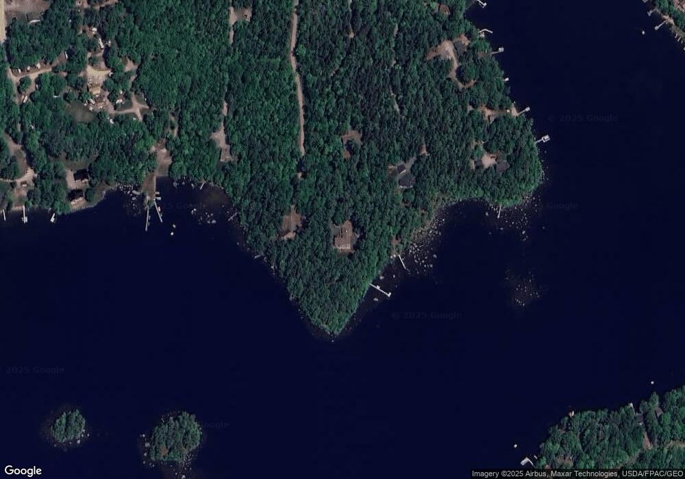
Map
Nearby Homes
- 1802 Bangor Rd
- 24 Tamarac Rd
- 18 Tamarac Rd
- 1400 Bangor Rd
- 428 Winkumpaugh Rd
- 0 Branch Pond Rd
- 248 Branchview Dr
- 194 Branchview Dr
- Lot 5 Foggy Ridge Way
- Lot 9 Foggy Ridge Way
- 52 Shore Path
- 1181 Happytown Rd
- 20 Upper Boggy Brook Rd
- 00 Green Lake Rd
- 383 Lily Rd
- 394 Green Lake Rd
- 17 Birch Heights
- 627 Green Lake Rd
- Lot 37 Wedge Heights
- Lot 24 Grand View Dr
- 49 Wildwood Dr
- 71 Wildwood Dr
- 116 Wildwood Dr
- 106 Wildwood Dr
- 94 Wildwood Dr
- 39 Wildwood Dr
- 88 Wildwood Dr
- 92 Wildwood Dr
- 84 Wildwood Dr
- 79 Wildwood Dr
- 26 Cove Way
- 10 Cove Way
- 75 Wildwood Dr
- 194 Hanson's Landing Rd
- 194 Hanson Landing Rd
- 194 Hanson Landing Rd
- 193 Cove Way
- 195 Cove Way
- 0 Wildwood Dr
- 190 Hanson Landing Rd