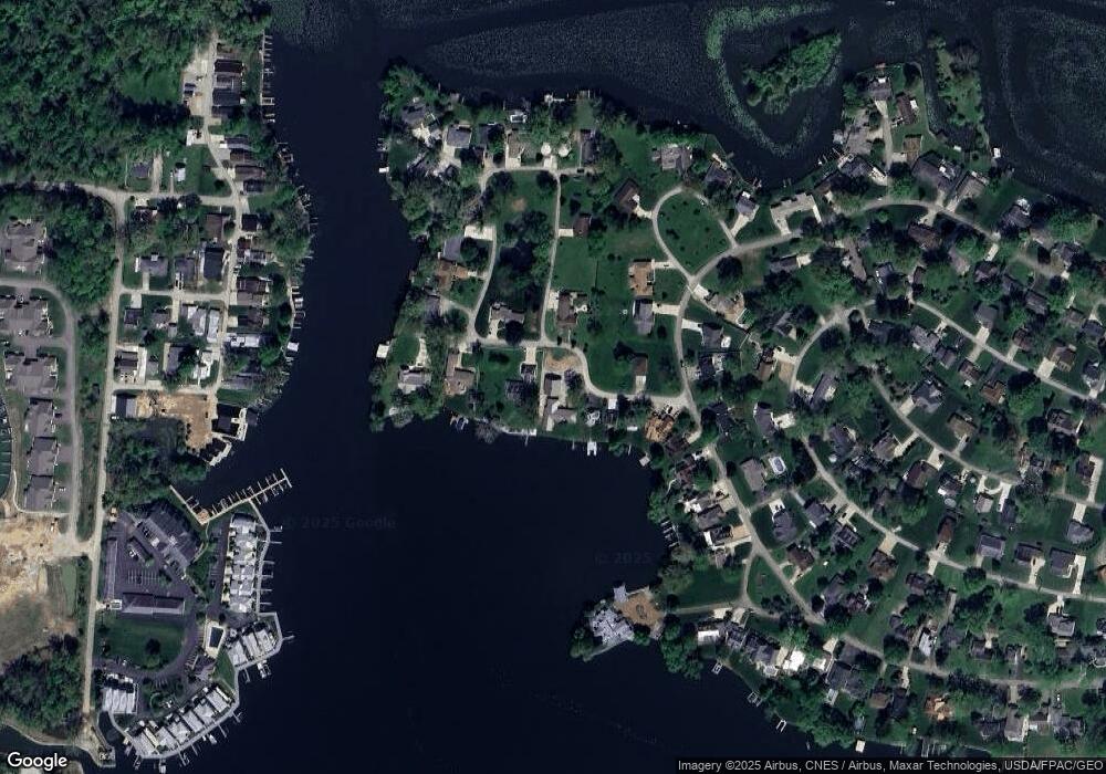
63 Woodland Rd Hebron, OH 43025
Estimated Value: $816,000 - $918,593
3
Beds
2
Baths
2,112
Sq Ft
$409/Sq Ft
Est. Value
About This Home
This home is located at 63 Woodland Rd, Hebron, OH 43025 and is currently estimated at $863,148, approximately $408 per square foot. 63 Woodland Rd is a home located in Licking County with nearby schools including Jackson Intermediate School, Lakewood Middle School, and Lakewood High School.
Ownership History
Date
Name
Owned For
Owner Type
Purchase Details
Closed on
Oct 28, 2011
Sold by
Jacobs Wendell and Allen Jacobs W
Bought by
Howarth Damond P
Current Estimated Value
Home Financials for this Owner
Home Financials are based on the most recent Mortgage that was taken out on this home.
Original Mortgage
$232,000
Outstanding Balance
$158,202
Interest Rate
4.02%
Mortgage Type
New Conventional
Estimated Equity
$704,946
Create a Home Valuation Report for This Property
The Home Valuation Report is an in-depth analysis detailing your home's value as well as a comparison with similar homes in the area
Home Values in the Area
Average Home Value in this Area
Purchase History
| Date | Buyer | Sale Price | Title Company |
|---|---|---|---|
| Howarth Damond P | $290,000 | Bxpark Title |
Source: Public Records
Mortgage History
| Date | Status | Borrower | Loan Amount |
|---|---|---|---|
| Open | Howarth Damond P | $232,000 |
Source: Public Records
Tax History Compared to Growth
Tax History
| Year | Tax Paid | Tax Assessment Tax Assessment Total Assessment is a certain percentage of the fair market value that is determined by local assessors to be the total taxable value of land and additions on the property. | Land | Improvement |
|---|---|---|---|---|
| 2024 | $9,806 | $260,720 | $145,220 | $115,500 |
| 2023 | $6,935 | $183,720 | $145,220 | $38,500 |
| 2022 | $5,748 | $131,500 | $69,830 | $61,670 |
| 2021 | $5,926 | $131,500 | $69,830 | $61,670 |
| 2020 | $5,937 | $131,500 | $69,830 | $61,670 |
| 2019 | $5,825 | $121,210 | $69,830 | $51,380 |
| 2018 | $5,887 | $0 | $0 | $0 |
| 2017 | $5,275 | $0 | $0 | $0 |
| 2016 | $4,968 | $0 | $0 | $0 |
| 2015 | $4,664 | $0 | $0 | $0 |
| 2014 | $7,217 | $0 | $0 | $0 |
| 2013 | $4,603 | $0 | $0 | $0 |
Source: Public Records
Map
Nearby Homes
- 22 Barton Place
- 4401 Hunts Landing Rd Unit 202
- 4401 Hunts Landing Rd Unit 304
- 4401 Hunts Landing Rd Unit 204
- 4455 Hunts Landing Rd Unit 8
- 610 Newport Ln
- 613 Newport Ln
- 615 Newport Ln
- 142 Narragansett Dr
- 112 Narragansett Dr
- 28 Bay View Dr
- 149 Amherst Dr
- 206 Freeman Memorial Dr
- 955 Lakeshore Dr E
- 459 Lakeshore Dr E
- 331 Highland Ave
- 541 Lakeshore Dr E
- 55 East St
- 11290 Honey Creek Rd
- 61 Lippert Ln
- 49 Woodland Rd
- 81 Woodland Rd
- 39 Woodland Rd
- 27 Woodland Rd
- 110 Woodland Rd
- 16 Woodland Rd
- 0 Maple Dr
- 645 Lakeshore Dr W
- 125 Woodland Rd
- 88 Woodland Rd
- 555 Lakeshore Dr W
- 655 Lakeshore Dr W
- 580 Lakeshore Dr W
- 149 Woodland Rd
- 553 Lakeshore Dr W
- 21 Oak Dr
- 610 Lakeshore Dr W
- 545 Lakeshore Dr W
- 883 Oak Dr
- 70 Maple Dr
