63 Woodside Ave Rutland, MA 01543
Estimated Value: $664,369 - $738,000
4
Beds
3
Baths
2,336
Sq Ft
$299/Sq Ft
Est. Value
About This Home
This home is located at 63 Woodside Ave, Rutland, MA 01543 and is currently estimated at $698,342, approximately $298 per square foot. 63 Woodside Ave is a home with nearby schools including Wachusett Regional High School.
Ownership History
Date
Name
Owned For
Owner Type
Purchase Details
Closed on
Jan 17, 2019
Sold by
Brice Estates Inc
Bought by
Gil Johny and Gil Crystal
Current Estimated Value
Home Financials for this Owner
Home Financials are based on the most recent Mortgage that was taken out on this home.
Original Mortgage
$408,501
Outstanding Balance
$359,881
Interest Rate
4.7%
Mortgage Type
New Conventional
Estimated Equity
$338,461
Create a Home Valuation Report for This Property
The Home Valuation Report is an in-depth analysis detailing your home's value as well as a comparison with similar homes in the area
Home Values in the Area
Average Home Value in this Area
Purchase History
| Date | Buyer | Sale Price | Title Company |
|---|---|---|---|
| Gil Johny | $431,806 | Metropolitan Title Agency |
Source: Public Records
Mortgage History
| Date | Status | Borrower | Loan Amount |
|---|---|---|---|
| Open | Gil Johny | $408,501 |
Source: Public Records
Tax History Compared to Growth
Tax History
| Year | Tax Paid | Tax Assessment Tax Assessment Total Assessment is a certain percentage of the fair market value that is determined by local assessors to be the total taxable value of land and additions on the property. | Land | Improvement |
|---|---|---|---|---|
| 2025 | $7,841 | $550,600 | $97,400 | $453,200 |
| 2024 | $7,747 | $522,400 | $87,500 | $434,900 |
| 2023 | $7,444 | $542,600 | $82,500 | $460,100 |
| 2022 | $6,948 | $440,000 | $69,900 | $370,100 |
| 2021 | $6,720 | $402,400 | $69,900 | $332,500 |
| 2020 | $7,430 | $421,900 | $65,700 | $356,200 |
| 2019 | $270 | $15,100 | $15,100 | $0 |
| 2018 | $109 | $6,000 | $6,000 | $0 |
| 2017 | $110 | $6,000 | $6,000 | $0 |
| 2016 | $104 | $6,000 | $6,000 | $0 |
| 2015 | $106 | $6,000 | $6,000 | $0 |
| 2014 | $103 | $6,000 | $6,000 | $0 |
Source: Public Records
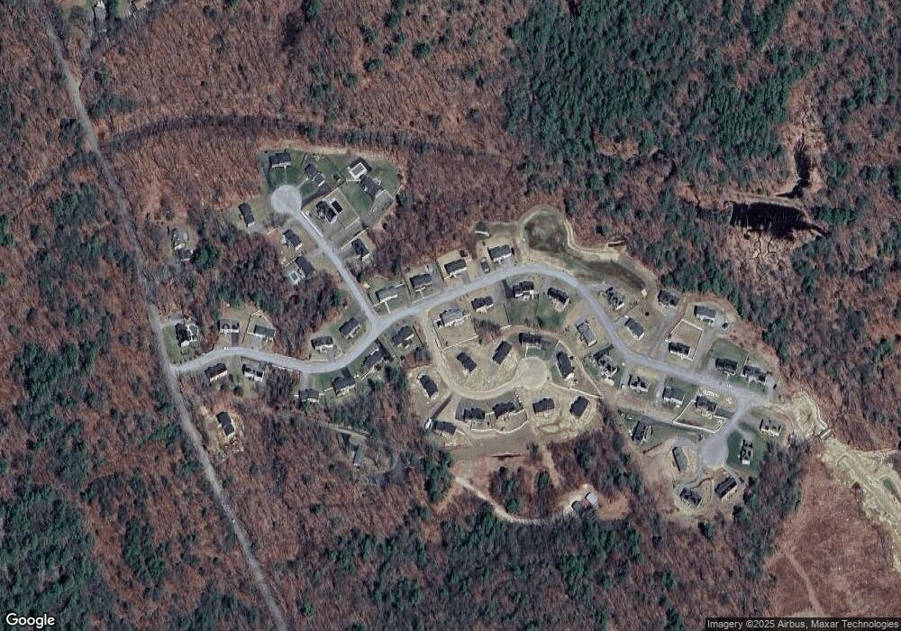
Map
Nearby Homes
- 51 Woodside Ave
- 47 Woodside Ave
- Lot 24R Quail Run
- Lot 27A Quail Run
- 4 Fidelity Dr Unit 2
- 6 Fidelity Dr Unit 3
- Lot 2 Barrack Hill Rd
- 0 Barrack Hill Rd
- 23 Miles Rd
- 289 Main St
- 34 Marjorie Ln
- 40 Brunelle Dr
- 32 Pommogussett Rd Unit 1
- 11 Valley View Cir
- 6 Ten Rod Rd
- 8 Fidelity Dr Unit 4
- 17 Clealand Cir
- 132 Fidelity Dr Unit 61
- 6 Lewis St
- 2 Forest Hill Dr
- 61 Woodside Ave
- 3 Lindsay Ln
- 67 Woodside Ave
- 9 Lindsay Ln
- 5 Lindsay Ln
- 62 Woodside Ave
- 4 Lindsay Ln
- 59 Woodside Ave
- Lot 57R Sedona Cir
- Lot 61R Sedona Cir
- 66 Woodside Ave
- 8 Lindsay Ln
- 60 Woodside Ave
- 69 Woodside Ave
- 57 Woodside Ave
- 6 Lindsay Ln
- 68R Sedona Cir
- Lot 64R Sedona Cir
- 2 Sedona Cir
- 70 Woodside Ave