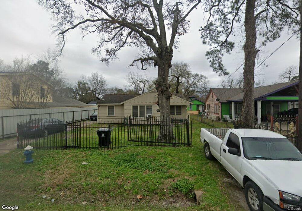
630 Apache St Houston, TX 77022
Northside-Northline NeighborhoodEstimated Value: $174,502 - $239,000
3
Beds
1
Bath
1,130
Sq Ft
$192/Sq Ft
Est. Value
About This Home
This home is located at 630 Apache St, Houston, TX 77022 and is currently estimated at $217,126, approximately $192 per square foot. 630 Apache St is a home located in Harris County with nearby schools including Janowski Elementary School, Burbank Middle School, and Sam Houston Math, Science & Technology Center.
Ownership History
Date
Name
Owned For
Owner Type
Purchase Details
Closed on
Dec 13, 1999
Sold by
Varga Carolyn Sue
Bought by
Ponce Caroline Y
Current Estimated Value
Purchase Details
Closed on
Mar 27, 1997
Sold by
Attra Bernice and Johnson Glen R
Bought by
Velasquez Patricia
Home Financials for this Owner
Home Financials are based on the most recent Mortgage that was taken out on this home.
Original Mortgage
$13,000
Interest Rate
7.65%
Mortgage Type
Seller Take Back
Create a Home Valuation Report for This Property
The Home Valuation Report is an in-depth analysis detailing your home's value as well as a comparison with similar homes in the area
Home Values in the Area
Average Home Value in this Area
Purchase History
| Date | Buyer | Sale Price | Title Company |
|---|---|---|---|
| Ponce Caroline Y | -- | -- | |
| Velasquez Patricia | -- | -- |
Source: Public Records
Mortgage History
| Date | Status | Borrower | Loan Amount |
|---|---|---|---|
| Previous Owner | Velasquez Patricia | $13,000 |
Source: Public Records
Tax History Compared to Growth
Tax History
| Year | Tax Paid | Tax Assessment Tax Assessment Total Assessment is a certain percentage of the fair market value that is determined by local assessors to be the total taxable value of land and additions on the property. | Land | Improvement |
|---|---|---|---|---|
| 2025 | $2,414 | $187,485 | $126,920 | $60,565 |
| 2024 | $2,414 | $175,965 | $116,483 | $59,482 |
| 2023 | $2,414 | $163,668 | $70,975 | $92,693 |
| 2022 | $2,398 | $143,303 | $70,975 | $72,328 |
| 2021 | $2,308 | $123,760 | $70,975 | $52,785 |
| 2020 | $2,180 | $116,930 | $70,975 | $45,955 |
| 2019 | $2,071 | $107,085 | $58,450 | $48,635 |
| 2018 | $3 | $87,783 | $48,848 | $38,935 |
| 2017 | $1,710 | $87,783 | $48,848 | $38,935 |
| 2016 | $1,555 | $79,679 | $45,925 | $33,754 |
| 2015 | $123 | $55,899 | $33,400 | $22,499 |
| 2014 | $123 | $55,899 | $33,400 | $22,499 |
Source: Public Records
Map
Nearby Homes
- 714 Apache St
- 631 Apache St
- 743 Apache St
- 726 Mcdaniel St
- 741 Mcdaniel St
- 0 Appleton St
- 802 Berry Sage Ln
- 8402 Berry Green Ln
- 729 Caperton St
- 8411 Berry Brush Ln
- 8205 Appleton St
- 1016 Apache St
- 1104 Charnwood St
- 428 Van Molan St
- 7523 Roswell St
- 88 Berry Rd
- 7315 Roswell St
- 121-123 Van Molan St
- 605 Post St
- 212B Garrotsville St