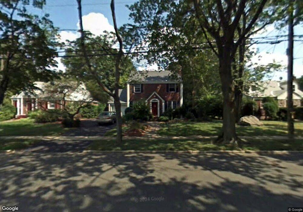
630 Bogert Rd River Edge, NJ 07661
Estimated Value: $855,000 - $991,000
Studio
--
Bath
1,561
Sq Ft
$575/Sq Ft
Est. Value
About This Home
This home is located at 630 Bogert Rd, River Edge, NJ 07661 and is currently estimated at $897,708, approximately $575 per square foot. 630 Bogert Rd is a home located in Bergen County with nearby schools including Roosevelt Elementary School, River Dell Middle School, and River Dell Regional High School.
Ownership History
Date
Name
Owned For
Owner Type
Purchase Details
Closed on
Aug 22, 2006
Sold by
Schmand Robert E
Bought by
Pennotti Michael C and Pennotti Mary F
Current Estimated Value
Home Financials for this Owner
Home Financials are based on the most recent Mortgage that was taken out on this home.
Original Mortgage
$100,000
Outstanding Balance
$60,136
Interest Rate
6.79%
Estimated Equity
$837,572
Create a Home Valuation Report for This Property
The Home Valuation Report is an in-depth analysis detailing your home's value as well as a comparison with similar homes in the area
Home Values in the Area
Average Home Value in this Area
Purchase History
| Date | Buyer | Sale Price | Title Company |
|---|---|---|---|
| Pennotti Michael C | $550,000 | -- |
Source: Public Records
Mortgage History
| Date | Status | Borrower | Loan Amount |
|---|---|---|---|
| Open | Pennotti Michael C | $100,000 |
Source: Public Records
Tax History
| Year | Tax Paid | Tax Assessment Tax Assessment Total Assessment is a certain percentage of the fair market value that is determined by local assessors to be the total taxable value of land and additions on the property. | Land | Improvement |
|---|---|---|---|---|
| 2025 | $16,625 | $677,400 | $360,000 | $317,400 |
| 2024 | $15,998 | $419,300 | $227,600 | $191,700 |
| 2023 | $15,311 | $413,800 | $227,600 | $186,200 |
| 2022 | $15,311 | $413,800 | $227,600 | $186,200 |
| 2021 | $15,009 | $413,800 | $227,600 | $186,200 |
| 2020 | $14,773 | $413,800 | $227,600 | $186,200 |
| 2019 | $14,351 | $413,800 | $227,600 | $186,200 |
| 2018 | $14,049 | $413,800 | $227,600 | $186,200 |
| 2017 | $13,912 | $413,800 | $227,600 | $186,200 |
| 2016 | $13,597 | $413,800 | $227,600 | $186,200 |
| 2015 | $13,312 | $413,800 | $227,600 | $186,200 |
| 2014 | $13,337 | $413,800 | $227,600 | $186,200 |
Source: Public Records
Map
Nearby Homes
- 117 Monroe Ave
- 212 Monroe Ave
- 239 Greenway Terrace
- 784 Kinderkamack Rd Unit 101
- 378 Windsor Rd
- 215 Kensington Rd
- 284 Continental Ave
- 33 Lincoln Ave
- 409 Windsor Rd
- 457 the Fenway
- 176 Trotta Dr
- 766 7th Ave
- 406 Kinderkamack Rd
- 765 7th Ave
- 640 Stockton St
- 204 Woodland Rd
- 374 Valley Rd
- 285 Wayne Ave
- 490 Albert Place
- 378 S Terhune Ave
Your Personal Tour Guide
Ask me questions while you tour the home.