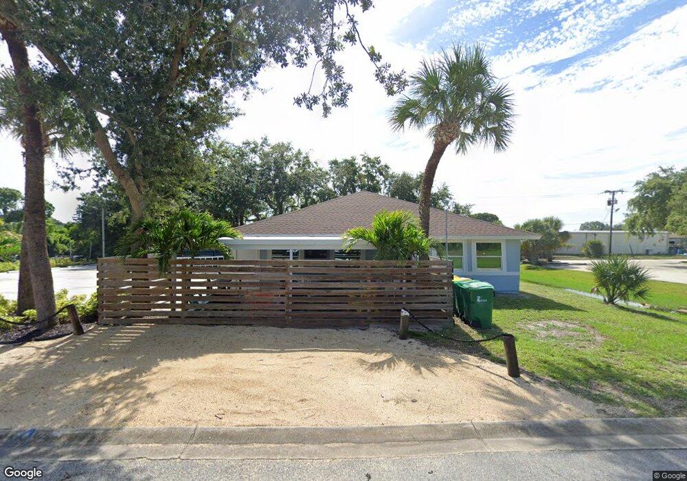
630 Cone Park Ct Merritt Island, FL 32952
Estimated Value: $443,147
--
Bed
--
Bath
9,650
Sq Ft
$46/Sq Ft
Est. Value
About This Home
This home is located at 630 Cone Park Ct, Merritt Island, FL 32952 and is currently estimated at $443,147, approximately $45 per square foot. 630 Cone Park Ct is a home located in Brevard County with nearby schools including Tropical Elementary School, Thomas Jefferson Middle School, and Merritt Island High School.
Ownership History
Date
Name
Owned For
Owner Type
Purchase Details
Closed on
Sep 1, 2020
Sold by
Paulsen Charles and Chambers Nicholas
Bought by
630 Cone Park Llc
Current Estimated Value
Purchase Details
Closed on
Dec 13, 2019
Sold by
Cone Professional Park Llc
Bought by
Paulsen Charles and Chambers Nicholas
Home Financials for this Owner
Home Financials are based on the most recent Mortgage that was taken out on this home.
Original Mortgage
$232,500
Interest Rate
3.7%
Mortgage Type
Stand Alone First
Create a Home Valuation Report for This Property
The Home Valuation Report is an in-depth analysis detailing your home's value as well as a comparison with similar homes in the area
Home Values in the Area
Average Home Value in this Area
Purchase History
| Date | Buyer | Sale Price | Title Company |
|---|---|---|---|
| 630 Cone Park Llc | -- | Dockside Title Llc | |
| Paulsen Charles | $310,000 | None Available |
Source: Public Records
Mortgage History
| Date | Status | Borrower | Loan Amount |
|---|---|---|---|
| Previous Owner | Paulsen Charles | $232,500 |
Source: Public Records
Tax History Compared to Growth
Tax History
| Year | Tax Paid | Tax Assessment Tax Assessment Total Assessment is a certain percentage of the fair market value that is determined by local assessors to be the total taxable value of land and additions on the property. | Land | Improvement |
|---|---|---|---|---|
| 2025 | $5,522 | $407,690 | -- | -- |
| 2024 | $5,440 | $395,980 | -- | -- |
| 2023 | $5,440 | $379,850 | $38,510 | $341,340 |
| 2022 | $4,896 | $349,920 | $0 | $0 |
| 2021 | $5,205 | $343,300 | $38,510 | $304,790 |
| 2020 | $5,195 | $341,880 | $38,510 | $303,370 |
| 2019 | $5,144 | $327,800 | $38,510 | $289,290 |
| 2018 | $4,946 | $305,170 | $38,510 | $266,660 |
| 2017 | $4,863 | $288,000 | $0 | $288,000 |
| 2016 | $4,868 | $275,000 | $0 | $0 |
| 2015 | $4,728 | $255,000 | $43,760 | $211,240 |
| 2014 | $4,723 | $250,000 | $43,760 | $206,240 |
Source: Public Records
Map
Nearby Homes
- 476 Nancie Ave
- 90 S Tropical Way
- 489 Kennwood Ave
- 185 Moore Ave
- 180 Brandy Ln
- 140 Brandy Ln
- 66 Moore Ave
- 220 Bel Aire Dr S
- 115 Carib Dr
- 355 Aztec Ave
- 95 Peck Ave
- 455 Catamaran Dr Unit 48
- 280 Andros Dr
- 270 W Lauren Ct
- 435 Catamaran Dr Unit 49
- 30 Victoria St
- 3190 S Courtenay Pkwy
- 230 Andros Dr
- 106 Victoria St
- 1040 Carrigan Blvd
- 630 Cone Park Ct Unit A & B
- 630 Cone Park Ct Unit A Or B
- 690 Cone Park Ct
- 690 Cone Park Ct
- 690 Cone Park Ct Unit B & C
- 497 Seacrest Ave
- 495 Seacrest Ave
- 499 Seacrest Ave
- 675 Azalea Ave
- 493 Seacrest Ave
- 501 Seacrest Ave
- 630 Azalea Ave
- 630 Azalea Ave Unit 1st fl
- 630 Azalea Ave Unit 203
- 630 Azalea Ave Unit 202
- 630 Azalea Ave Unit 101
- 630 Azalea Ave Unit 102
- 630 Azalea Ave Unit 201
- 491 Seacrest Ave
- 503 Seacrest Ave