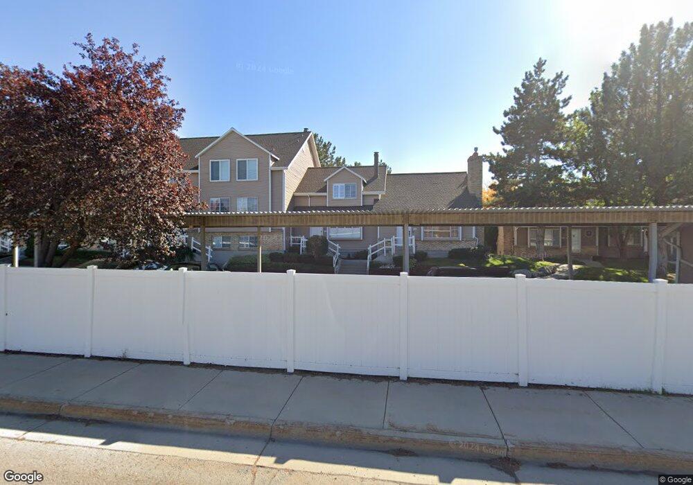
630 E 6870 S Unit 41 Midvale, UT 84047
Estimated Value: $357,000 - $390,000
3
Beds
2
Baths
1,695
Sq Ft
$223/Sq Ft
Est. Value
About This Home
This home is located at 630 E 6870 S Unit 41, Midvale, UT 84047 and is currently estimated at $377,294, approximately $222 per square foot. 630 E 6870 S Unit 41 is a home located in Salt Lake County with nearby schools including East Midvale Elementary School, Hillcrest High School, and Midvale Middle School.
Ownership History
Date
Name
Owned For
Owner Type
Purchase Details
Closed on
Jun 1, 2007
Sold by
Neddo David W
Bought by
Mayer Samuel and Mayer Simone Kosela
Current Estimated Value
Home Financials for this Owner
Home Financials are based on the most recent Mortgage that was taken out on this home.
Original Mortgage
$205,000
Outstanding Balance
$124,962
Interest Rate
6.12%
Mortgage Type
Purchase Money Mortgage
Estimated Equity
$252,332
Purchase Details
Closed on
Oct 23, 1998
Sold by
Neddo David W and Neddo Clara M
Bought by
Neddo David W
Home Financials for this Owner
Home Financials are based on the most recent Mortgage that was taken out on this home.
Original Mortgage
$116,400
Interest Rate
6.6%
Mortgage Type
FHA
Purchase Details
Closed on
Apr 22, 1996
Sold by
Foulks Harvard G and Foulks Jean R
Bought by
Neddo David W and Neddo Clara M
Home Financials for this Owner
Home Financials are based on the most recent Mortgage that was taken out on this home.
Original Mortgage
$119,750
Interest Rate
7.84%
Mortgage Type
FHA
Create a Home Valuation Report for This Property
The Home Valuation Report is an in-depth analysis detailing your home's value as well as a comparison with similar homes in the area
Home Values in the Area
Average Home Value in this Area
Purchase History
| Date | Buyer | Sale Price | Title Company |
|---|---|---|---|
| Mayer Samuel | -- | Metro National Title | |
| Neddo David W | -- | -- | |
| Neddo David W | -- | Paramount Title Corp |
Source: Public Records
Mortgage History
| Date | Status | Borrower | Loan Amount |
|---|---|---|---|
| Open | Mayer Samuel | $205,000 | |
| Previous Owner | Neddo David W | $116,400 | |
| Previous Owner | Neddo David W | $119,750 |
Source: Public Records
Tax History
| Year | Tax Paid | Tax Assessment Tax Assessment Total Assessment is a certain percentage of the fair market value that is determined by local assessors to be the total taxable value of land and additions on the property. | Land | Improvement |
|---|---|---|---|---|
| 2025 | $2,120 | $354,500 | $106,300 | $248,200 |
| 2024 | $2,120 | $348,000 | $104,400 | $243,600 |
| 2023 | $2,150 | $349,700 | $104,900 | $244,800 |
| 2022 | $2,048 | $325,500 | $97,600 | $227,900 |
| 2021 | $1,755 | $238,400 | $71,500 | $166,900 |
| 2020 | $1,684 | $216,500 | $64,900 | $151,600 |
| 2019 | $1,624 | $203,400 | $61,000 | $142,400 |
| 2016 | $1,446 | $170,800 | $51,200 | $119,600 |
Source: Public Records
Map
Nearby Homes
- 6874 S 595 E Unit 66
- 6965 S 700 E
- 512 E Larchwood Dr
- 7083 Village Place
- 6907 S 800 E
- 761 E Gables Ln
- 775 E Gables Ln
- 6948 S 855 E
- 776 E Gables St
- 6969 S 855 E
- 6960 S 900 E
- 529 E 7215 S Unit 9
- 7187 S 420 E
- 7230 S 525 E Unit A
- 7230 S 525 E Unit B
- 7230 S 525 E
- 7045 S 300 E
- 937 Essex Court Way Unit 3
- 7240 S 525 E Unit A
- 7240 S 525 E Unit B
- 634 E 6870 S
- 634 E 6870 S Unit 37
- 636 E 6870 S Unit 35
- 632 E 6870 S Unit 39
- 640 E 6870 S Unit 38
- 642 E 6870 S Unit 36
- 638 E 6870 S Unit 40
- 628 E 6870 S Unit 42
- 644 E 6870 S
- 6882 S 650 E
- 6882 S 650 E Unit 32
- 648 E 6870 S Unit 33
- 6886 S 650 E Unit 31
- 620 E 6870 S
- 620 E 6870 S Unit 49-H
- 6890 S 650 E Unit 30
- 616 E 6870 S
- 6894 S 650 E
- 6894 S 650 E Unit 29
- 612 E 6870 S
Your Personal Tour Guide
Ask me questions while you tour the home.