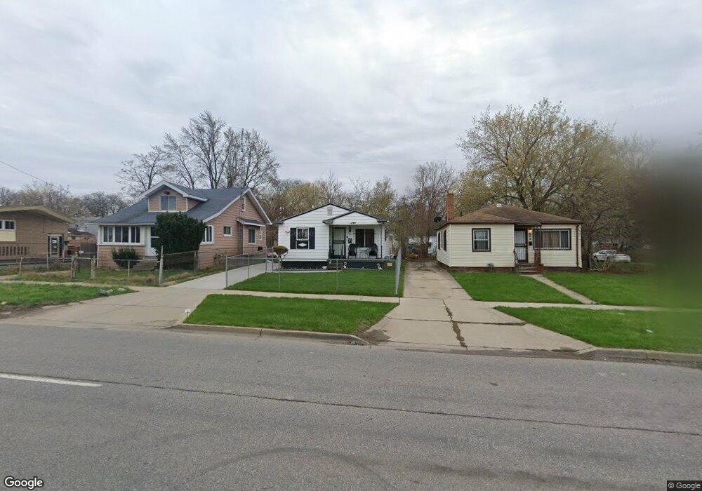
630 E Pierson Rd Flint, MI 48505
King Avenue Plus NeighborhoodEstimated Value: $37,000 - $62,099
3
Beds
1
Bath
944
Sq Ft
$50/Sq Ft
Est. Value
About This Home
This home is located at 630 E Pierson Rd, Flint, MI 48505 and is currently estimated at $47,275, approximately $50 per square foot. 630 E Pierson Rd is a home located in Genesee County with nearby schools including Brownell STEM Academy, The New Standard Academy, and Eagle's Nest Academy.
Ownership History
Date
Name
Owned For
Owner Type
Purchase Details
Closed on
Apr 1, 2024
Sold by
Williams Diane
Bought by
Williams Diane and Williams Tailiah L
Current Estimated Value
Purchase Details
Closed on
Jul 2, 2019
Sold by
Williams Diane
Bought by
Williams Diane and Williams Tailiah L
Purchase Details
Closed on
Feb 1, 2010
Sold by
Green Roberts Eylastine
Bought by
Williams Diane
Purchase Details
Closed on
Aug 23, 2001
Sold by
Green Roberts Eylastine and Estate Of Roscoe Roberts Jr
Bought by
Green Roberts Eylastine
Create a Home Valuation Report for This Property
The Home Valuation Report is an in-depth analysis detailing your home's value as well as a comparison with similar homes in the area
Home Values in the Area
Average Home Value in this Area
Purchase History
| Date | Buyer | Sale Price | Title Company |
|---|---|---|---|
| Williams Diane | -- | Michigan Land Title | |
| Williams Diane | -- | Michigan Land Title | |
| Williams Diane | -- | None Available | |
| Williams Diane | $5,500 | First American Title Ins Co | |
| Green Roberts Eylastine | -- | -- |
Source: Public Records
Tax History
| Year | Tax Paid | Tax Assessment Tax Assessment Total Assessment is a certain percentage of the fair market value that is determined by local assessors to be the total taxable value of land and additions on the property. | Land | Improvement |
|---|---|---|---|---|
| 2025 | $576 | $10,700 | $0 | $0 |
| 2024 | $536 | $8,600 | $0 | $0 |
| 2023 | $535 | $7,000 | $0 | $0 |
| 2022 | $0 | $5,300 | $0 | $0 |
| 2021 | $593 | $6,600 | $0 | $0 |
| 2020 | $548 | $6,100 | $0 | $0 |
| 2019 | $542 | $6,500 | $0 | $0 |
| 2018 | $514 | $6,600 | $0 | $0 |
| 2017 | $503 | $0 | $0 | $0 |
| 2016 | $500 | $0 | $0 | $0 |
| 2015 | -- | $0 | $0 | $0 |
| 2014 | -- | $0 | $0 | $0 |
| 2012 | -- | $7,400 | $0 | $0 |
Source: Public Records
Map
Nearby Homes
- 618 E Parkway Ave
- 680 E Pierson Rd
- 0 E Marengo Ave Unit 50200980
- 350 E Mott Ave
- 225 E Piper Ave
- 802 E Russell Ave
- 124 W Flint Park Blvd
- 345 E Austin Ave
- 4028 North St
- 329 W Baltimore Blvd
- 425 E Lorado Ave
- 421 E Lorado Ave
- 638 E Foss Ave
- 422 E Foss Ave
- 418 E Foss Ave
- 525 W Pulaski Ave
- 6101 Selby St
- 426 E Holbrook Ave
- 510 W Bishop Ave
- 3810 Marvin St
- 634 E Pierson Rd
- 624 E Pierson Rd
- 646 E Pierson Rd
- 629 E Pulaski Ave
- 618 E Pierson Rd
- 633 E Pulaski Ave
- 625 E Pulaski Ave
- 637 E Pulaski Ave
- 621 E Pulaski Ave
- 641 E Pulaski Ave
- 617 E Pulaski Ave
- 610 E Pierson Rd
- 641 E Pierson Rd
- 609 E Pierson Rd
- 645 E Pulaski Ave
- 613 E Pulaski Ave
- 649 E Pulaski Ave
- 609 E Pulaski Ave
- 606 E Pierson Rd
- 637 E Pierson Rd
Your Personal Tour Guide
Ask me questions while you tour the home.