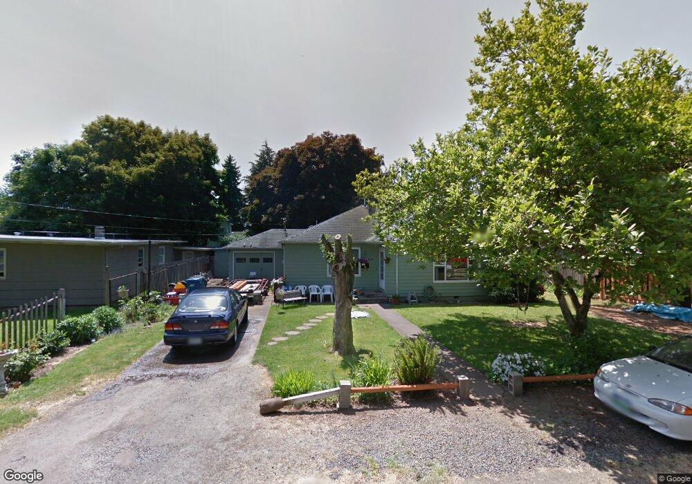
630 Fir St Woodburn, OR 97071
Estimated Value: $254,000 - $370,000
3
Beds
1
Bath
1,376
Sq Ft
$241/Sq Ft
Est. Value
About This Home
This home is located at 630 Fir St, Woodburn, OR 97071 and is currently estimated at $332,257, approximately $241 per square foot. 630 Fir St is a home located in Marion County with nearby schools including Nellie Muir Elementary School, Valor Middle School, and Woodburn Arthur Academy.
Ownership History
Date
Name
Owned For
Owner Type
Purchase Details
Closed on
Feb 11, 2025
Sold by
Guajardo Jane M
Bought by
Guajardo Revocable Living Trust and Guajardo
Current Estimated Value
Purchase Details
Closed on
Jan 28, 2020
Sold by
Estrada Jane M
Bought by
Guajardo Jane M
Home Financials for this Owner
Home Financials are based on the most recent Mortgage that was taken out on this home.
Original Mortgage
$150,000
Interest Rate
3.74%
Mortgage Type
New Conventional
Create a Home Valuation Report for This Property
The Home Valuation Report is an in-depth analysis detailing your home's value as well as a comparison with similar homes in the area
Home Values in the Area
Average Home Value in this Area
Purchase History
| Date | Buyer | Sale Price | Title Company |
|---|---|---|---|
| Guajardo Revocable Living Trust | -- | None Listed On Document | |
| Guajardo Jane M | -- | Accommodation |
Source: Public Records
Mortgage History
| Date | Status | Borrower | Loan Amount |
|---|---|---|---|
| Previous Owner | Guajardo Jane M | $150,000 |
Source: Public Records
Tax History Compared to Growth
Tax History
| Year | Tax Paid | Tax Assessment Tax Assessment Total Assessment is a certain percentage of the fair market value that is determined by local assessors to be the total taxable value of land and additions on the property. | Land | Improvement |
|---|---|---|---|---|
| 2024 | $2,626 | $135,830 | -- | -- |
| 2023 | $2,610 | $131,880 | $0 | $0 |
| 2022 | $2,472 | $128,040 | $0 | $0 |
| 2021 | $2,400 | $124,320 | $0 | $0 |
| 2020 | $2,328 | $120,700 | $0 | $0 |
| 2019 | $2,334 | $117,190 | $0 | $0 |
| 2018 | $2,216 | $0 | $0 | $0 |
| 2017 | $2,152 | $0 | $0 | $0 |
| 2016 | $2,088 | $0 | $0 | $0 |
| 2015 | $2,026 | $0 | $0 | $0 |
| 2014 | $1,926 | $0 | $0 | $0 |
Source: Public Records
Map
Nearby Homes
- 825 High St
- 870 W Lincoln St
- 642 Leasure St
- 860 N 1st St
- 2303 Miller Farm Rd
- 980 Astor Way
- 1315 Rainier Rd
- 2386 Miller Farm Rd
- 795 Corby St
- 680 Cupids Ct
- 1332 Thompson Rd
- 185 E Lincoln St
- 1355 Thompson Rd
- 1174 Dellmoor Way
- 1383 Thompson Rd
- 1450 Rainier Rd
- 854 Hazelnut Dr
- 1427 Walton Way
- 2516 Meridian Dr
- 2511 Patriot St