630 Gorwin Dr Hanson, MA 02341
Estimated Value: $583,132 - $702,000
4
Beds
2
Baths
1,470
Sq Ft
$432/Sq Ft
Est. Value
About This Home
This home is located at 630 Gorwin Dr, Hanson, MA 02341 and is currently estimated at $635,533, approximately $432 per square foot. 630 Gorwin Dr is a home located in Plymouth County.
Ownership History
Date
Name
Owned For
Owner Type
Purchase Details
Closed on
Aug 30, 1996
Sold by
Sindhu Niaz A and Sindhu Shamin A
Bought by
Dawson Dianna C and Mcdevitt James T
Current Estimated Value
Create a Home Valuation Report for This Property
The Home Valuation Report is an in-depth analysis detailing your home's value as well as a comparison with similar homes in the area
Home Values in the Area
Average Home Value in this Area
Purchase History
| Date | Buyer | Sale Price | Title Company |
|---|---|---|---|
| Dawson Dianna C | $148,500 | -- |
Source: Public Records
Mortgage History
| Date | Status | Borrower | Loan Amount |
|---|---|---|---|
| Open | Dawson Dianna C | $175,000 | |
| Closed | Dawson Dianna C | $170,000 | |
| Closed | Dawson Dianna C | $145,000 |
Source: Public Records
Tax History
| Year | Tax Paid | Tax Assessment Tax Assessment Total Assessment is a certain percentage of the fair market value that is determined by local assessors to be the total taxable value of land and additions on the property. | Land | Improvement |
|---|---|---|---|---|
| 2025 | $6,275 | $469,000 | $181,000 | $288,000 |
| 2024 | $6,143 | $459,100 | $175,800 | $283,300 |
| 2023 | $5,543 | $390,900 | $175,800 | $215,100 |
| 2022 | $5,364 | $355,500 | $159,800 | $195,700 |
| 2021 | $4,805 | $318,200 | $153,700 | $164,500 |
| 2020 | $4,731 | $309,800 | $148,400 | $161,400 |
| 2019 | $4,543 | $292,500 | $145,600 | $146,900 |
| 2018 | $4,486 | $283,400 | $140,000 | $143,400 |
| 2017 | $4,345 | $271,900 | $133,300 | $138,600 |
| 2016 | $4,401 | $265,900 | $133,300 | $132,600 |
| 2015 | $4,182 | $262,700 | $133,300 | $129,400 |
Source: Public Records
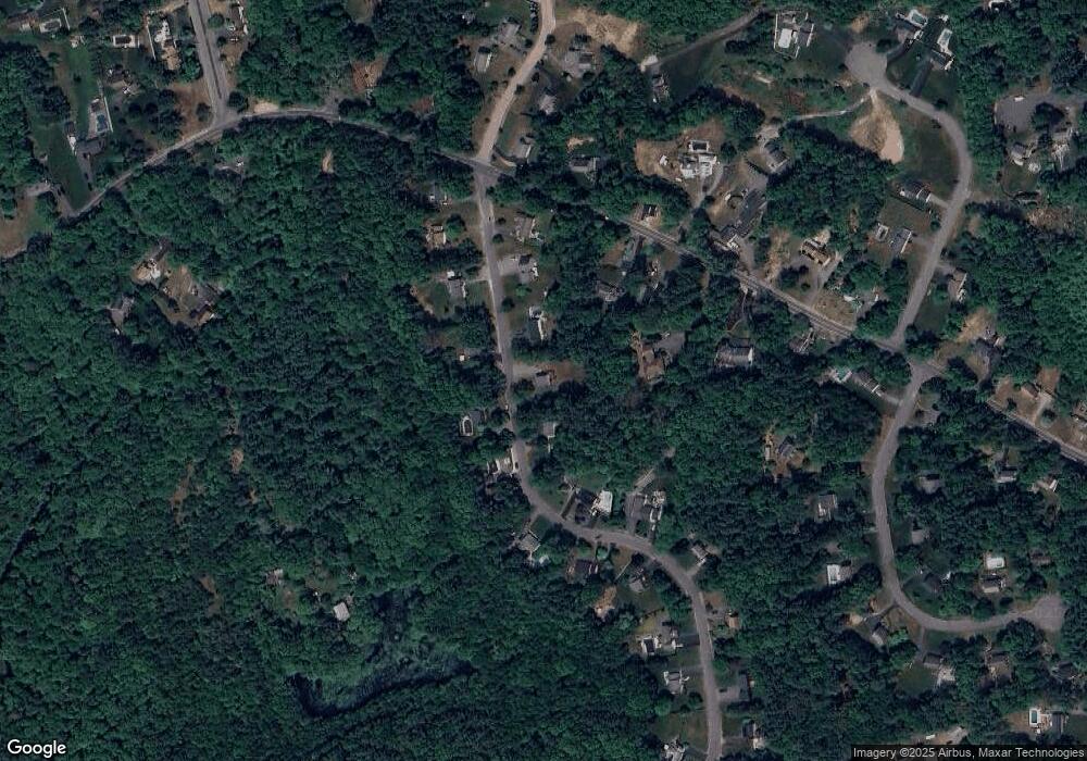
Map
Nearby Homes
- 430 Brook Bend Rd
- 339 State St
- 127 Crescent Place
- 26 Stonebridge Dr
- 161 Winter St Unit 11
- 134 Crescent St
- 269 Lakeside Rd
- 139 Fairwood Dr
- 108 Waterford Dr
- 84 Liberty St
- Lot 5 Princeton Way
- Lot 6 Way
- 361 County Rd
- 168 Spring St
- 724 Whitman St
- 51 Farmside Dr
- 361A County Rd
- 66 Wildwood Rd
- 114 Graham Hill Dr
- 7 Farmside Dr
Your Personal Tour Guide
Ask me questions while you tour the home.