630 Hill Rd Hegins, PA 17938
Estimated Value: $200,000 - $285,000
3
Beds
2
Baths
1,407
Sq Ft
$171/Sq Ft
Est. Value
About This Home
This home is located at 630 Hill Rd, Hegins, PA 17938 and is currently estimated at $240,449, approximately $170 per square foot. 630 Hill Rd is a home located in Schuylkill County with nearby schools including Tri-Valley Junior/Senior High School.
Ownership History
Date
Name
Owned For
Owner Type
Purchase Details
Closed on
Oct 12, 2011
Sold by
Wagner Randy L and Wagner Jodi A
Bought by
Wagner Randy L
Current Estimated Value
Purchase Details
Closed on
Jun 17, 2008
Sold by
Barkus Gregory A and Barkus Brooke L
Bought by
Wagner Randy L and Wagner Jodi A
Home Financials for this Owner
Home Financials are based on the most recent Mortgage that was taken out on this home.
Original Mortgage
$156,750
Outstanding Balance
$100,380
Interest Rate
6.01%
Mortgage Type
New Conventional
Estimated Equity
$140,069
Purchase Details
Closed on
Mar 30, 2007
Sold by
Kimmel Robert H and Kimmel Janell M
Bought by
Barkus Gregory A and Barkus Brooke L
Home Financials for this Owner
Home Financials are based on the most recent Mortgage that was taken out on this home.
Original Mortgage
$155,000
Interest Rate
6.33%
Mortgage Type
New Conventional
Create a Home Valuation Report for This Property
The Home Valuation Report is an in-depth analysis detailing your home's value as well as a comparison with similar homes in the area
Home Values in the Area
Average Home Value in this Area
Purchase History
| Date | Buyer | Sale Price | Title Company |
|---|---|---|---|
| Wagner Randy L | -- | None Available | |
| Wagner Randy L | $165,000 | None Available | |
| Barkus Gregory A | $155,000 | None Available |
Source: Public Records
Mortgage History
| Date | Status | Borrower | Loan Amount |
|---|---|---|---|
| Open | Wagner Randy L | $156,750 | |
| Previous Owner | Barkus Gregory A | $155,000 |
Source: Public Records
Tax History Compared to Growth
Tax History
| Year | Tax Paid | Tax Assessment Tax Assessment Total Assessment is a certain percentage of the fair market value that is determined by local assessors to be the total taxable value of land and additions on the property. | Land | Improvement |
|---|---|---|---|---|
| 2025 | $2,111 | $31,820 | $6,325 | $25,495 |
| 2024 | $1,850 | $31,820 | $6,325 | $25,495 |
| 2023 | $1,781 | $31,820 | $6,325 | $25,495 |
| 2022 | $1,727 | $31,820 | $6,325 | $25,495 |
| 2021 | $1,676 | $31,820 | $6,325 | $25,495 |
| 2020 | $1,676 | $31,820 | $6,325 | $25,495 |
| 2018 | $1,608 | $31,820 | $6,325 | $25,495 |
| 2017 | $1,543 | $31,820 | $6,325 | $25,495 |
| 2015 | -- | $31,820 | $6,325 | $25,495 |
| 2011 | -- | $31,820 | $0 | $0 |
Source: Public Records
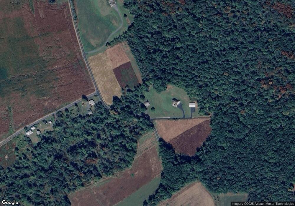
Map
Nearby Homes
- 0 Weishample Rd Unit 20-101360
- 0 Airport Rd Unit PASK2024112
- 0 Fountain Rd
- 572 Airport Rd
- 15 Snyder Rd
- 1348 E Main St
- 604 Airport Rd
- 0 W Side of Stein Rd
- 6852 Upper Rd
- 31 Upper Beechwood Ave
- 0 Green St
- 28 W Donaldson St
- 30 North St
- 60 South St
- 416 Dutchtown Rd
- 206 W Main St
- 101 W Main St
- 52 E Line St
- 1011 E Main St
- 505 Mcknight St