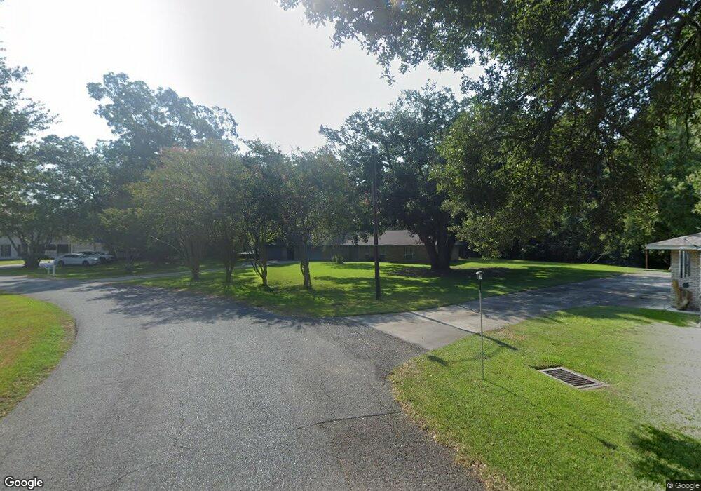
630 Lee Dr Brusly, LA 70719
West Baton Rouge Parish NeighborhoodEstimated Value: $195,000 - $287,000
Studio
--
Bath
1,836
Sq Ft
$127/Sq Ft
Est. Value
About This Home
This home is located at 630 Lee Dr, Brusly, LA 70719 and is currently estimated at $233,875, approximately $127 per square foot. 630 Lee Dr is a home located in West Baton Rouge Parish with nearby schools including Brusly Elementary School, Lukeville Upper Elementary School, and Brusly Middle School.
Ownership History
Date
Name
Owned For
Owner Type
Purchase Details
Closed on
Jul 17, 2024
Sold by
Succession Of Anita Louise Richard Hutch and Landry Mandy
Bought by
Hunt Luke Patrick
Current Estimated Value
Home Financials for this Owner
Home Financials are based on the most recent Mortgage that was taken out on this home.
Original Mortgage
$185,250
Outstanding Balance
$182,203
Interest Rate
6.99%
Mortgage Type
New Conventional
Estimated Equity
$51,672
Create a Home Valuation Report for This Property
The Home Valuation Report is an in-depth analysis detailing your home's value as well as a comparison with similar homes in the area
Home Values in the Area
Average Home Value in this Area
Purchase History
| Date | Buyer | Sale Price | Title Company |
|---|---|---|---|
| Hunt Luke Patrick | $195,000 | First American Title | |
| Hunt Luke Patrick | $195,000 | First American Title |
Source: Public Records
Mortgage History
| Date | Status | Borrower | Loan Amount |
|---|---|---|---|
| Open | Hunt Luke Patrick | $185,250 | |
| Closed | Hunt Luke Patrick | $185,250 |
Source: Public Records
Tax History
| Year | Tax Paid | Tax Assessment Tax Assessment Total Assessment is a certain percentage of the fair market value that is determined by local assessors to be the total taxable value of land and additions on the property. | Land | Improvement |
|---|---|---|---|---|
| 2025 | $1,219 | $19,830 | $5,500 | $14,330 |
| 2024 | $1,194 | $19,830 | $5,500 | $14,330 |
| 2023 | $937 | $16,520 | $4,000 | $12,520 |
| 2022 | $1,733 | $16,520 | $4,000 | $12,520 |
| 2021 | $1,772 | $16,520 | $4,000 | $12,520 |
| 2020 | $1,611 | $14,870 | $3,600 | $11,270 |
| 2019 | $1,857 | $16,460 | $5,320 | $11,140 |
| 2018 | $1,891 | $16,460 | $5,320 | $11,140 |
| 2017 | $1,746 | $16,460 | $5,320 | $11,140 |
| 2015 | $1,381 | $16,080 | $4,940 | $11,140 |
| 2014 | $1,359 | $16,080 | $4,940 | $11,140 |
| 2013 | $1,359 | $16,080 | $4,940 | $11,140 |
Source: Public Records
Map
Nearby Homes
- 526 Gwin St
- 6455 Louisiana 1
- 6312 Louisiana 1
- 445 Venzule Dr
- 2218 Silverstone Ave
- 4747 Evergreen Dr
- 3024 Red Hat Rd
- 5984 Mill Town Rd
- 6016 Mill Town Rd
- 5944 Mill Town Rd
- 5934 Mill Town Rd
- 5954 Mill Town Rd
- 6087 Mill Town Rd
- 5964 Mill Town Rd
- 5974 Mill Town Rd
- 6026 Mill Town Rd
- 6046 Mill Town Rd
- 5924 Mill Town Rd
- 6036 Mill Town Rd
- 5963 Mill Town Rd
Your Personal Tour Guide
Ask me questions while you tour the home.