630 Main Poland Rd Conway, MA 01341
Estimated Value: $466,000 - $612,719
3
Beds
2
Baths
1,846
Sq Ft
$287/Sq Ft
Est. Value
About This Home
This home is located at 630 Main Poland Rd, Conway, MA 01341 and is currently estimated at $530,680, approximately $287 per square foot. 630 Main Poland Rd is a home located in Franklin County with nearby schools including Frontier Regional School.
Ownership History
Date
Name
Owned For
Owner Type
Purchase Details
Closed on
Jun 1, 2009
Sold by
Clapp Roger Freeman and Clapp-Ramey Sydney
Bought by
Aili P Clapp T and Clapp Roger Freeman
Current Estimated Value
Purchase Details
Closed on
Sep 23, 1997
Sold by
Est Germain Arthur E and Rose Mary E
Bought by
Clapp Roger F and Clapp Joanne C
Home Financials for this Owner
Home Financials are based on the most recent Mortgage that was taken out on this home.
Original Mortgage
$25,000
Interest Rate
7.5%
Create a Home Valuation Report for This Property
The Home Valuation Report is an in-depth analysis detailing your home's value as well as a comparison with similar homes in the area
Home Values in the Area
Average Home Value in this Area
Purchase History
| Date | Buyer | Sale Price | Title Company |
|---|---|---|---|
| Aili P Clapp T | -- | -- | |
| Clapp Roger F | $46,000 | -- |
Source: Public Records
Mortgage History
| Date | Status | Borrower | Loan Amount |
|---|---|---|---|
| Previous Owner | Clapp Roger F | $25,000 |
Source: Public Records
Tax History
| Year | Tax Paid | Tax Assessment Tax Assessment Total Assessment is a certain percentage of the fair market value that is determined by local assessors to be the total taxable value of land and additions on the property. | Land | Improvement |
|---|---|---|---|---|
| 2025 | $7,234 | $501,000 | $141,600 | $359,400 |
| 2024 | $6,952 | $423,900 | $128,900 | $295,000 |
| 2023 | $7,270 | $423,900 | $128,900 | $295,000 |
| 2022 | $7,063 | $393,500 | $120,400 | $273,100 |
| 2021 | $6,983 | $372,800 | $116,100 | $256,700 |
| 2020 | $6,847 | $365,000 | $116,000 | $249,000 |
| 2019 | $6,807 | $365,000 | $116,000 | $249,000 |
| 2018 | $6,753 | $365,000 | $116,000 | $249,000 |
| 2017 | $7,585 | $427,300 | $178,300 | $249,000 |
| 2016 | $6,070 | $363,900 | $116,200 | $247,700 |
| 2015 | $5,884 | $363,900 | $116,200 | $247,700 |
Source: Public Records
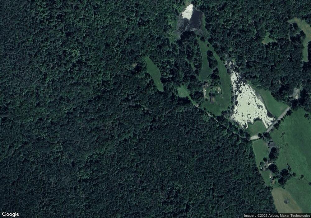
Map
Nearby Homes
- 0 Maple St
- 240 Beldingville Rd
- 527 Main St
- 0 N Bear River Rd Unit 73485981
- 71 Mathews Rd
- 15 Stillwater Rd
- 2930 Shelburne Falls Rd
- 40 Suburban Dr
- 0 Sears Rd Unit 73373850
- 41 Upper Rd
- 90 Whately Rd
- 220 Hawley Rd
- 86 Ashfield Rd
- 355 Greenfield Rd
- 208 Greenfield Rd
- 24 Elm St
- 0 Greenfield Rd Unit 73472322
- 92 Masterson Rd
- 0 North St Unit 73407299
- 345 Greenfield Rd
- 516 Main Poland Rd
- 559 Main Poland Rd
- 396 Main Poland Rd
- 90 Maggie Bean Dr
- 421 Main Poland Rd
- Lot 0 Maggie Bean Dr
- 71 Maggie Bean Dr
- 140 Maggie Bean Dr
- 0000 Maggie Bean Dr
- 336 Main Poland Rd
- 361 Main Poland Rd
- 320 Main Poland Rd
- 86 Adams Rd
- 283 Main Poland Rd
- 100 Adams Rd
- 234 Main Poland Rd
- 134 Main Poland Rd
- 48 Manning Rd
- 120 Main Poland Rd
- 40 Manning Rd
Your Personal Tour Guide
Ask me questions while you tour the home.