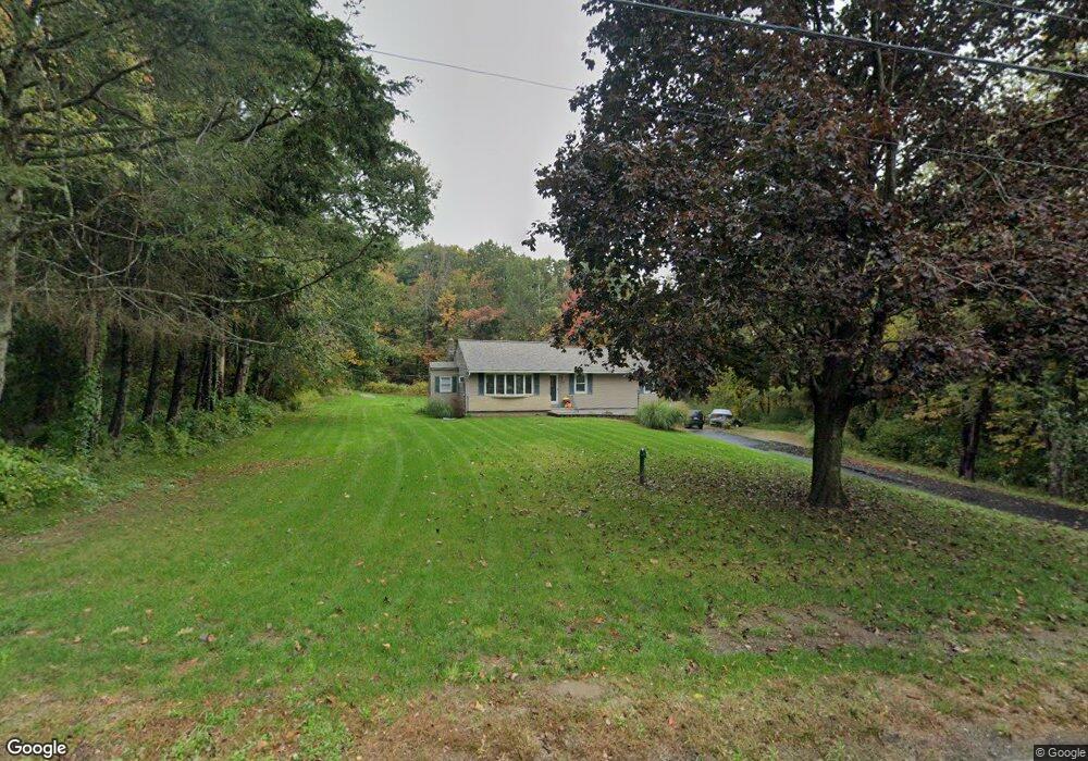
630 Manning St Jefferson, MA 01522
Estimated Value: $444,101 - $525,000
3
Beds
2
Baths
1,176
Sq Ft
$402/Sq Ft
Est. Value
About This Home
This home is located at 630 Manning St, Jefferson, MA 01522 and is currently estimated at $473,025, approximately $402 per square foot. 630 Manning St is a home located in Worcester County with nearby schools including Wachusett Regional High School.
Ownership History
Date
Name
Owned For
Owner Type
Purchase Details
Closed on
Jul 29, 2022
Sold by
630 Manning Street Rt and Kauppila
Bought by
Kauppila Christopher and Kauppila Kelley
Current Estimated Value
Home Financials for this Owner
Home Financials are based on the most recent Mortgage that was taken out on this home.
Original Mortgage
$150,000
Outstanding Balance
$142,388
Interest Rate
5.78%
Mortgage Type
Purchase Money Mortgage
Estimated Equity
$330,637
Purchase Details
Closed on
Feb 5, 2004
Sold by
Kauppila Carol
Bought by
Kauppila David
Create a Home Valuation Report for This Property
The Home Valuation Report is an in-depth analysis detailing your home's value as well as a comparison with similar homes in the area
Home Values in the Area
Average Home Value in this Area
Purchase History
| Date | Buyer | Sale Price | Title Company |
|---|---|---|---|
| Kauppila Christopher | $150,000 | None Available | |
| Kauppila Christopher | -- | None Available | |
| Kauppila David | -- | -- | |
| Kauppila David L | -- | -- |
Source: Public Records
Mortgage History
| Date | Status | Borrower | Loan Amount |
|---|---|---|---|
| Open | Kauppila Christopher | $150,000 | |
| Previous Owner | Kauppila David | $15,000 | |
| Previous Owner | Kauppila David | $37,500 | |
| Previous Owner | Kauppila David | $15,000 |
Source: Public Records
Tax History
| Year | Tax Paid | Tax Assessment Tax Assessment Total Assessment is a certain percentage of the fair market value that is determined by local assessors to be the total taxable value of land and additions on the property. | Land | Improvement |
|---|---|---|---|---|
| 2025 | $5,673 | $409,300 | $170,500 | $238,800 |
| 2024 | $5,262 | $371,900 | $165,700 | $206,200 |
| 2023 | $5,058 | $337,400 | $143,900 | $193,500 |
| 2022 | $4,869 | $294,000 | $113,100 | $180,900 |
| 2021 | $4,715 | $271,000 | $107,900 | $163,100 |
| 2020 | $4,354 | $256,100 | $103,100 | $153,000 |
| 2019 | $4,291 | $245,900 | $103,100 | $142,800 |
| 2018 | $3,983 | $226,200 | $98,300 | $127,900 |
| 2017 | $3,764 | $214,000 | $98,300 | $115,700 |
| 2016 | $3,535 | $204,900 | $93,900 | $111,000 |
| 2015 | $3,542 | $195,500 | $93,900 | $101,600 |
| 2014 | $3,470 | $195,500 | $93,900 | $101,600 |
Source: Public Records
Map
Nearby Homes
- 518 Manning St
- Lot 1 Manning St
- 127 N Main St
- 16 N Main St
- 189 General Hobbs Rd
- 1138 Wachusett St
- 8 Elmwood Ave
- 89 Boulder Hill Rd
- 24 Blake Ave
- 113 Newton St
- 52 Vicksburg Cir
- 11 Farragut Way
- 24 Winthrop St
- 90 Sterling St Unit A
- 74 Deanna Dr
- 376 Elmwood Ave
- 4 Deanna Dr
- 6 Church St
- 6 Slipper Hill Ln
- 81 Deanna Dr
- 619 Manning St
- 620 Manning St
- 651 Manning St
- 650 Manning St
- 615 Manning St
- 635 Manning St
- 600 Manning St
- 605 Manning St
- 585 Manning St
- 650 Manning St
- 661 Manning St
- 296 Laurel St
- 1 Raymond Huntington Hwy
- 286 Laurel St
- 555 Manning St
- 550 Manning St
- 619 Manning St
- 520 Manning St
- 521 Manning St
- 251 Laurel St
Your Personal Tour Guide
Ask me questions while you tour the home.