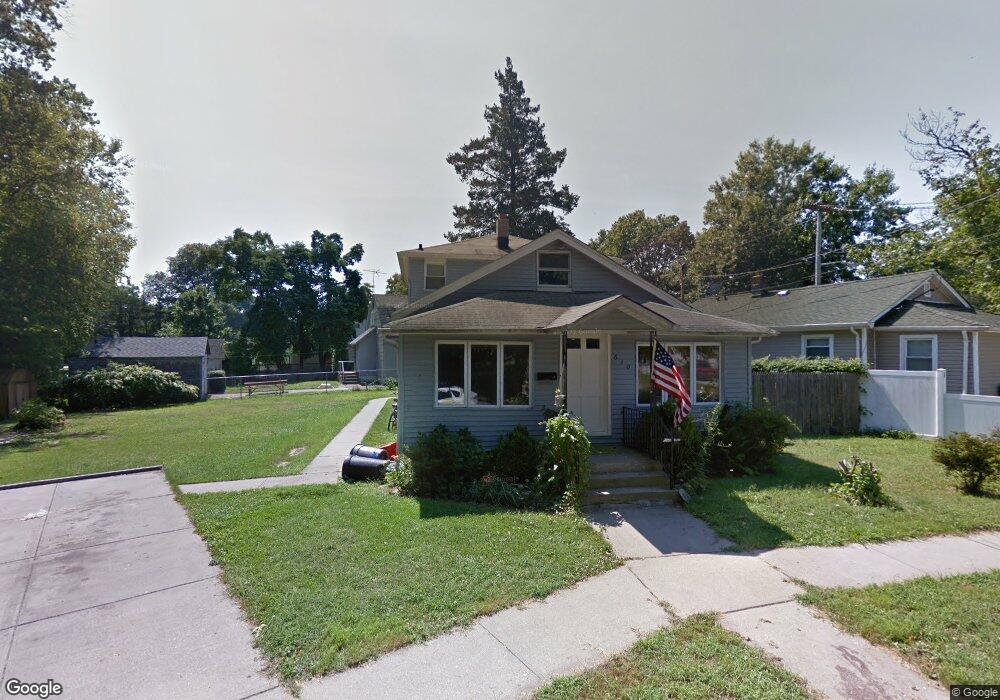
630 Maple St West Hempstead, NY 11552
Estimated Value: $710,973 - $739,000
Studio
2
Baths
1,752
Sq Ft
$414/Sq Ft
Est. Value
About This Home
This home is located at 630 Maple St, West Hempstead, NY 11552 and is currently estimated at $724,987, approximately $413 per square foot. 630 Maple St is a home located in Nassau County with nearby schools including Chestnut Street School, West Hempstead Middle School, and West Hempstead Secondary School.
Ownership History
Date
Name
Owned For
Owner Type
Purchase Details
Closed on
Oct 15, 2024
Sold by
Madray Christina and Khemraj Kevin J
Bought by
Maple Courtside Inc
Current Estimated Value
Purchase Details
Closed on
Dec 13, 2013
Sold by
Khemraj Jairam and Khemraj Bibi
Bought by
Jairam And Bibi Khemraj Family Trust and Khemraj
Purchase Details
Closed on
May 6, 2002
Sold by
Battaglia Joseph
Bought by
Khemraj Jairam
Purchase Details
Closed on
Oct 13, 1995
Sold by
Administrator Of Veterans Affa Irs
Bought by
Battaglia Julius Est and Wells Walter
Create a Home Valuation Report for This Property
The Home Valuation Report is an in-depth analysis detailing your home's value as well as a comparison with similar homes in the area
Home Values in the Area
Average Home Value in this Area
Purchase History
| Date | Buyer | Sale Price | Title Company |
|---|---|---|---|
| Maple Courtside Inc | -- | None Available | |
| Maple Courtside Inc | -- | None Available | |
| Maple Courtside Inc | -- | None Available | |
| Jairam And Bibi Khemraj Family Trust | -- | -- | |
| Jairam And Bibi Khemraj Family Trust | -- | -- | |
| Jairam And Bibi Khemraj Family Trust | -- | -- | |
| Khemraj Jairam | $205,000 | Romeo A Ramson | |
| Khemraj Jairam | $205,000 | Romeo A Ramson | |
| Battaglia Julius Est | $37,000 | -- | |
| Battaglia Julius Est | $37,000 | -- |
Source: Public Records
Tax History
| Year | Tax Paid | Tax Assessment Tax Assessment Total Assessment is a certain percentage of the fair market value that is determined by local assessors to be the total taxable value of land and additions on the property. | Land | Improvement |
|---|---|---|---|---|
| 2025 | $12,492 | $454 | $247 | $207 |
| 2024 | $3,675 | $458 | $249 | $209 |
| 2023 | $11,372 | $458 | $249 | $209 |
| 2022 | $11,372 | $458 | $249 | $209 |
| 2021 | $14,969 | $444 | $241 | $203 |
| 2020 | $10,683 | $581 | $541 | $40 |
| 2019 | $10,450 | $581 | $508 | $73 |
| 2018 | $9,849 | $619 | $0 | $0 |
| 2017 | $6,930 | $658 | $441 | $217 |
| 2016 | $10,100 | $697 | $467 | $230 |
| 2015 | $3,364 | $751 | $541 | $210 |
| 2014 | $3,364 | $751 | $541 | $210 |
| 2013 | $3,151 | $751 | $541 | $210 |
Source: Public Records
Map
Nearby Homes
- 618 Jennings Ave
- 629 Park Ave
- 647 Jennings Ave
- 447 Chestnut St
- 369 Woodfield Rd
- 321 Oakford St
- 815 Sunshine Ave
- 55 Melvin Ave
- 846 Harrison St
- 240 Woodfield Rd
- 841 Woodfield Rd
- 853 Arthur St
- 635 Hempstead Ave
- 590 Langley Ave
- 16 Wright Rd
- 218 Colony St
- 837 Cleveland St
- 815 Iris Place
- 523 Cedar St
- 352 Hempstead Ave
Your Personal Tour Guide
Ask me questions while you tour the home.