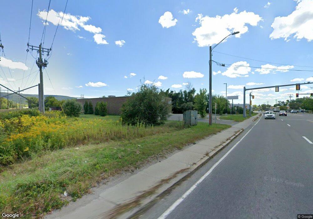
630 Merrill Rd Pittsfield, MA 01201
Estimated Value: $2,809,729
--
Bed
--
Bath
6,912
Sq Ft
$407/Sq Ft
Est. Value
About This Home
This home is located at 630 Merrill Rd, Pittsfield, MA 01201 and is currently estimated at $2,809,729, approximately $406 per square foot. 630 Merrill Rd is a home located in Berkshire County with nearby schools including Allendale Elementary School, John T. Reid Middle School, and Pittsfield High School.
Ownership History
Date
Name
Owned For
Owner Type
Purchase Details
Closed on
Feb 3, 2022
Sold by
586 Main Street Rt
Bought by
Madvance Llc
Current Estimated Value
Purchase Details
Closed on
Nov 7, 2016
Sold by
Jlb Pittsfield Llc
Bought by
586 Main Street Rt
Home Financials for this Owner
Home Financials are based on the most recent Mortgage that was taken out on this home.
Original Mortgage
$1,621,000
Interest Rate
3.48%
Mortgage Type
Commercial
Purchase Details
Closed on
Jan 16, 2013
Sold by
George Richard C and Td Bank Na
Bought by
Jlb Pittsfield Llc
Create a Home Valuation Report for This Property
The Home Valuation Report is an in-depth analysis detailing your home's value as well as a comparison with similar homes in the area
Home Values in the Area
Average Home Value in this Area
Purchase History
| Date | Buyer | Sale Price | Title Company |
|---|---|---|---|
| Madvance Llc | $2,265,000 | None Available | |
| 586 Main Street Rt | $2,369,000 | -- | |
| Jlb Pittsfield Llc | $1,275,000 | -- |
Source: Public Records
Mortgage History
| Date | Status | Borrower | Loan Amount |
|---|---|---|---|
| Previous Owner | 586 Main Street Rt | $1,621,000 |
Source: Public Records
Tax History Compared to Growth
Tax History
| Year | Tax Paid | Tax Assessment Tax Assessment Total Assessment is a certain percentage of the fair market value that is determined by local assessors to be the total taxable value of land and additions on the property. | Land | Improvement |
|---|---|---|---|---|
| 2025 | $26,014 | $685,300 | $200,100 | $485,200 |
| 2024 | $27,438 | $692,700 | $200,100 | $492,600 |
| 2023 | $27,161 | $692,700 | $200,100 | $492,600 |
| 2022 | $25,835 | $647,500 | $200,100 | $447,400 |
| 2021 | $25,894 | $647,500 | $200,100 | $447,400 |
| 2020 | $26,133 | $647,500 | $200,100 | $447,400 |
| 2019 | $25,861 | $647,500 | $200,100 | $447,400 |
| 2018 | $25,887 | $647,500 | $200,100 | $447,400 |
| 2017 | $25,758 | $647,500 | $200,100 | $447,400 |
| 2016 | $26,867 | $705,900 | $200,100 | $505,800 |
| 2015 | $25,857 | $705,900 | $200,100 | $505,800 |
Source: Public Records
Map
Nearby Homes
- 45 Patricia Ave
- 82 Williamsburg Terrace
- 25 Kensington Ave
- 39 Highlawn Dr
- 38 Allengate Ave
- 17 Kittredge Rd
- 144 Kittredge Rd
- 98 Oak Hill Rd
- 326 Dalton Ave
- 122 Allengate Ave
- 165 Connecticut Ave
- 127 Oak Hill Rd
- 134 Oak Hill Rd
- 68 Howe Rd
- 0 Crane Ave
- 1994 East St
- 48 Elaine Ave
- 9 Crane Ave
- 1106 South St
- 50 Grand Ave