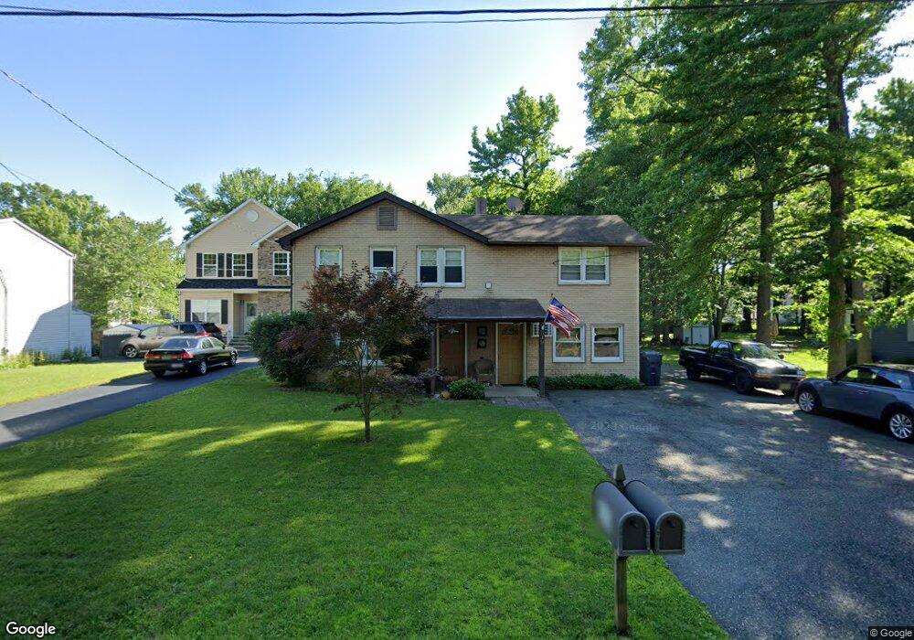
630 Myrtle Rd North Brunswick, NJ 08902
Estimated Value: $704,000 - $796,000
--
Bed
--
Bath
2,852
Sq Ft
$261/Sq Ft
Est. Value
About This Home
This home is located at 630 Myrtle Rd, North Brunswick, NJ 08902 and is currently estimated at $744,385, approximately $261 per square foot. 630 Myrtle Rd is a home located in Middlesex County with nearby schools including Arthur M. Judd Elementary School, Linwood Middle School, and North Brunswick Twp High School.
Ownership History
Date
Name
Owned For
Owner Type
Purchase Details
Closed on
Nov 16, 2006
Sold by
Konopacki Paul
Bought by
Thompson Pearl
Current Estimated Value
Home Financials for this Owner
Home Financials are based on the most recent Mortgage that was taken out on this home.
Original Mortgage
$540,000
Interest Rate
6.18%
Purchase Details
Closed on
May 30, 2000
Sold by
Viazis Chris
Bought by
Konopacki Paul and Konopacki Margorzata
Home Financials for this Owner
Home Financials are based on the most recent Mortgage that was taken out on this home.
Original Mortgage
$173,700
Interest Rate
8.24%
Create a Home Valuation Report for This Property
The Home Valuation Report is an in-depth analysis detailing your home's value as well as a comparison with similar homes in the area
Home Values in the Area
Average Home Value in this Area
Purchase History
| Date | Buyer | Sale Price | Title Company |
|---|---|---|---|
| Thompson Pearl | $433,000 | -- | |
| Konopacki Paul | $193,000 | -- |
Source: Public Records
Mortgage History
| Date | Status | Borrower | Loan Amount |
|---|---|---|---|
| Previous Owner | Thompson Pearl | $540,000 | |
| Previous Owner | Konopacki Paul | $173,700 |
Source: Public Records
Tax History Compared to Growth
Tax History
| Year | Tax Paid | Tax Assessment Tax Assessment Total Assessment is a certain percentage of the fair market value that is determined by local assessors to be the total taxable value of land and additions on the property. | Land | Improvement |
|---|---|---|---|---|
| 2025 | $10,378 | $163,800 | $61,200 | $102,600 |
| 2024 | $10,192 | $163,800 | $61,200 | $102,600 |
| 2023 | $10,192 | $163,800 | $61,200 | $102,600 |
| 2022 | $9,844 | $163,800 | $61,200 | $102,600 |
| 2021 | $9,610 | $163,800 | $61,200 | $102,600 |
| 2020 | $9,477 | $163,800 | $61,200 | $102,600 |
| 2019 | $9,284 | $163,800 | $61,200 | $102,600 |
| 2018 | $9,094 | $163,800 | $61,200 | $102,600 |
| 2017 | $8,934 | $163,800 | $61,200 | $102,600 |
| 2016 | $8,747 | $163,800 | $61,200 | $102,600 |
| 2015 | $8,598 | $163,800 | $61,200 | $102,600 |
| 2014 | $8,501 | $163,800 | $61,200 | $102,600 |
Source: Public Records
Map
Nearby Homes
- 1827 Oak Rd
- 1584 Holly Rd
- 17 David Dr
- 3910 Birchwood Ct
- 3807 Birchwood Ct
- 457 Barrymore Place
- 4417 Birchwood Ct
- 430 Wood Ave
- 1660 Us Highway 130
- 149 Pennsylvania Way
- 346 Wood Ave
- 89 Pennsylvania Way
- 224 Pennsylvania Way
- 63 Pennsylvania Way
- 41 Lynn Ct
- 32 Lafayette Ct
- 7 Pershing Ct
- 1314 N Oaks Blvd
- 1010 N Oaks Blvd
- 1508 Plymouth Rd
- 626 Myrtle Rd
- 636 Myrtle Rd
- 620 Myrtle Rd
- 640 Myrtle Rd
- 1725 Fillmore Dr
- 610 Myrtle Rd
- 1731 Fillmore Dr
- 1710 Holly Rd
- 1706 Holly Rd
- 627 Myrtle Rd
- 621 Myrtle Rd
- 633 Myrtle Rd
- 1741 Fillmore Dr
- 617 Myrtle Rd
- 1722 Holly Rd Unit 1724
- 639 Myrtle Rd
- 615 Myrtle Rd
- 1708 Holly Rd
- 1755 Fillmore Dr
- 1700 Fillmore Dr