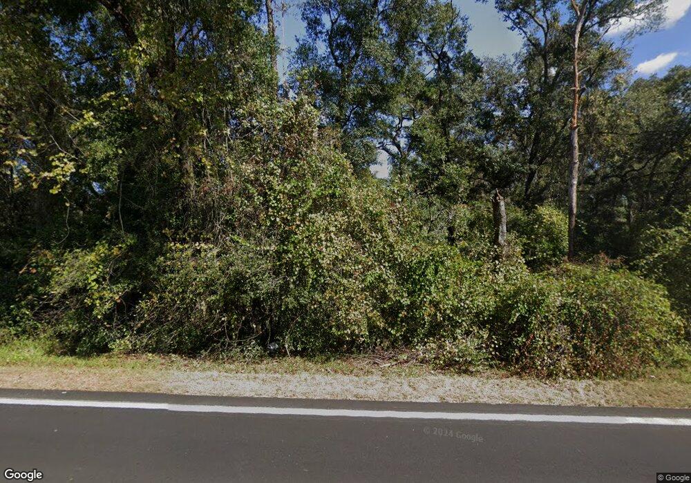
630 N County Road 315 Interlachen, FL 32148
Estimated Value: $44,913 - $87,000
2
Beds
1
Bath
784
Sq Ft
$87/Sq Ft
Est. Value
About This Home
This home is located at 630 N County Road 315, Interlachen, FL 32148 and is currently estimated at $67,971, approximately $86 per square foot. 630 N County Road 315 is a home located in Putnam County with nearby schools including C.H. Price Middle School and Interlachen High School.
Ownership History
Date
Name
Owned For
Owner Type
Purchase Details
Closed on
Feb 26, 2020
Sold by
Pope James T
Bought by
Olsowsky Rodney C and Olsowsky Kathryn
Current Estimated Value
Purchase Details
Closed on
Aug 6, 2014
Sold by
County Of Putnam
Bought by
Pope James T
Purchase Details
Closed on
Jun 15, 2007
Sold by
Gentry Roy Paul
Bought by
Sea & Sand Development Inc
Purchase Details
Closed on
Nov 4, 2005
Sold by
Sea & Sand Development Inc
Bought by
Gentry Roy Paul
Home Financials for this Owner
Home Financials are based on the most recent Mortgage that was taken out on this home.
Original Mortgage
$34,900
Interest Rate
10%
Mortgage Type
Seller Take Back
Purchase Details
Closed on
Jul 17, 2004
Sold by
Lemasters Stacey
Bought by
Sea & Sand Development Inc
Purchase Details
Closed on
Mar 30, 2003
Sold by
Grasslands Inc Usa
Bought by
Ciarrocchi Roger N
Create a Home Valuation Report for This Property
The Home Valuation Report is an in-depth analysis detailing your home's value as well as a comparison with similar homes in the area
Home Values in the Area
Average Home Value in this Area
Purchase History
| Date | Buyer | Sale Price | Title Company |
|---|---|---|---|
| Olsowsky Rodney C | -- | Gullett Title Inc | |
| Pope James T | $2,595 | None Available | |
| Sea & Sand Development Inc | $26,000 | None Available | |
| Gentry Roy Paul | $39,900 | Gullett Title Inc | |
| Sea & Sand Development Inc | -- | -- | |
| Ciarrocchi Roger N | -- | -- |
Source: Public Records
Mortgage History
| Date | Status | Borrower | Loan Amount |
|---|---|---|---|
| Previous Owner | Gentry Roy Paul | $34,900 |
Source: Public Records
Tax History Compared to Growth
Tax History
| Year | Tax Paid | Tax Assessment Tax Assessment Total Assessment is a certain percentage of the fair market value that is determined by local assessors to be the total taxable value of land and additions on the property. | Land | Improvement |
|---|---|---|---|---|
| 2024 | $70 | $4,550 | $4,550 | -- |
| 2023 | $66 | $4,550 | $4,550 | $0 |
| 2022 | $55 | $3,410 | $3,410 | $0 |
| 2021 | $56 | $3,410 | $0 | $0 |
| 2020 | $57 | $3,410 | $0 | $0 |
| 2019 | $57 | $3,410 | $3,410 | $0 |
| 2018 | $58 | $3,410 | $3,410 | $0 |
| 2017 | $60 | $3,410 | $3,410 | $0 |
| 2016 | $59 | $3,410 | $0 | $0 |
| 2015 | $59 | $3,409 | $0 | $0 |
| 2014 | $59 | $3,409 | $0 | $0 |
Source: Public Records
Map
Nearby Homes
- 108 Bream Dr
- 130 & 132 Bream Dr
- 101 Gobbler Rd
- 122 Bluegill Dr
- 113 Bluegill Dr
- 0000 Bluegill Dr
- 103 Antler Rd
- 129 Fisherman Dr S
- 0 Illinois St Unit 25536449
- 0 Virginia St Unit 244587
- 0 Virginia St Unit 2049625
- 132 Illinois St
- 0 Oregon St
- 0 Maine Ave
- Lot 20-21 Maine Terrace
- 0 Lake Shore Lots 413 414 Terrace
- 0 Lake Shore Lot 417 Terrace Unit 2107200
- 00 Georgia Ave
- Tbd Rhode Island St
- 0 Rhode Island St Unit MFROK225735
- 634 County Road 315
- 117 Bream Dr
- 111 Bream Dr
- 640 N County 315
- 620 County Rd 315
- 123 Bream Dr
- 132 Bream Dr
- 115 Bream Dr
- 642 County Road 315
- 642 N County Road 315
- 120 Bream Dr
- 110 Bream Dr
- Corner Cr315 and Bluegill Dr
- 126 Bream Dr
- 130 Bream Dr
- 144 Bream Dr
- 138 Bluegill Dr Unit lot 5
- 610 County R 315 N
- 610 County Rd 315
- 610 County Road 315
