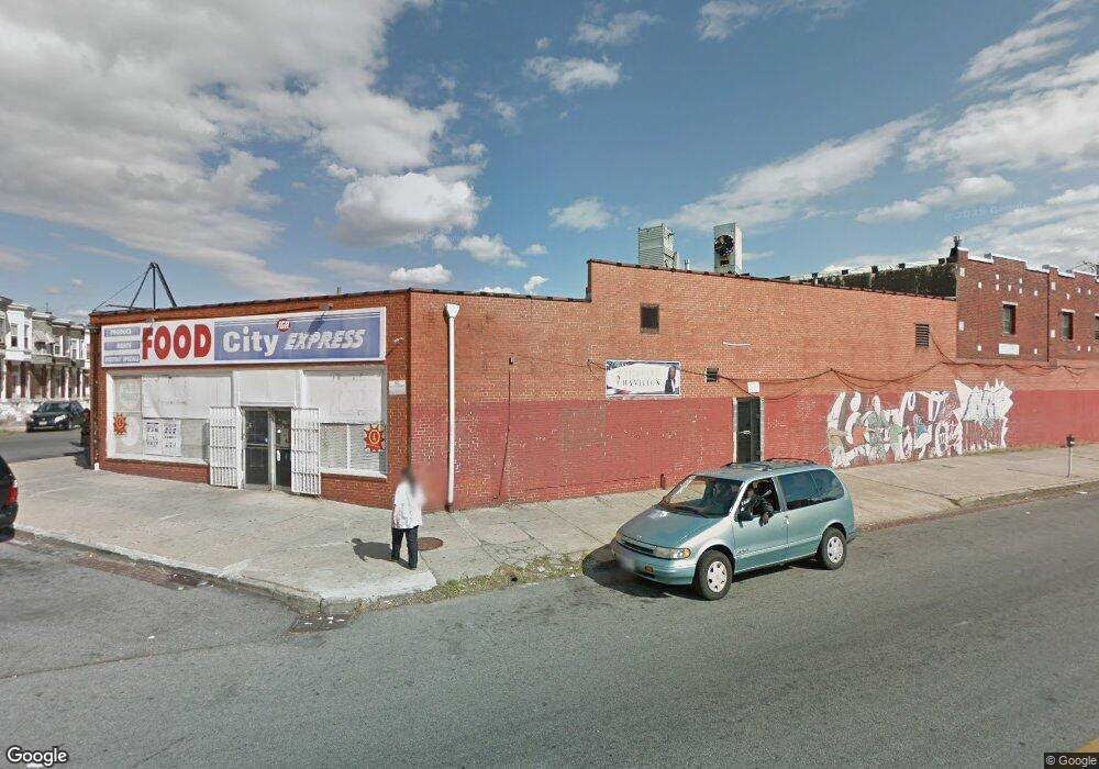
630 N Franklintown Rd Baltimore, MD 21216
Mosher NeighborhoodEstimated Value: $1,152,227
--
Bed
--
Bath
3,131
Sq Ft
$368/Sq Ft
Est. Value
About This Home
This home is located at 630 N Franklintown Rd, Baltimore, MD 21216 and is currently estimated at $1,152,227, approximately $368 per square foot. 630 N Franklintown Rd is a home located in Baltimore City with nearby schools including Booker T. Washington Middle School, Edmondson Westside High School, and Frederick Douglass High School.
Ownership History
Date
Name
Owned For
Owner Type
Purchase Details
Closed on
Mar 8, 2024
Sold by
Amina Real Estates Llc
Bought by
Mgh Property Llc
Current Estimated Value
Purchase Details
Closed on
Feb 29, 2008
Sold by
Shin Si Woo
Bought by
Byong Llc
Home Financials for this Owner
Home Financials are based on the most recent Mortgage that was taken out on this home.
Original Mortgage
$350,000
Interest Rate
5.8%
Mortgage Type
Commercial
Create a Home Valuation Report for This Property
The Home Valuation Report is an in-depth analysis detailing your home's value as well as a comparison with similar homes in the area
Home Values in the Area
Average Home Value in this Area
Purchase History
| Date | Buyer | Sale Price | Title Company |
|---|---|---|---|
| Mgh Property Llc | $600,000 | Cole Title | |
| Byong Llc | $600,000 | -- |
Source: Public Records
Mortgage History
| Date | Status | Borrower | Loan Amount |
|---|---|---|---|
| Previous Owner | Byong Llc | $350,000 |
Source: Public Records
Tax History Compared to Growth
Tax History
| Year | Tax Paid | Tax Assessment Tax Assessment Total Assessment is a certain percentage of the fair market value that is determined by local assessors to be the total taxable value of land and additions on the property. | Land | Improvement |
|---|---|---|---|---|
| 2025 | $2,209 | $95,767 | -- | -- |
| 2024 | $2,209 | $94,033 | $0 | $0 |
| 2023 | $2,168 | $92,300 | $14,000 | $78,300 |
| 2022 | $2,178 | $92,300 | $14,000 | $78,300 |
| 2021 | $2,178 | $92,300 | $14,000 | $78,300 |
| 2020 | $2,178 | $92,300 | $14,000 | $78,300 |
| 2019 | $2,109 | $89,800 | $0 | $0 |
| 2018 | $2,060 | $87,300 | $0 | $0 |
| 2017 | $2,001 | $84,800 | $0 | $0 |
| 2016 | $2,591 | $84,800 | $0 | $0 |
| 2015 | $2,591 | $84,800 | $0 | $0 |
| 2014 | $2,591 | $87,600 | $0 | $0 |
Source: Public Records
Map
Nearby Homes
- 2845 Harlem Ave
- 2946 Arunah Ave
- 2846 Harlem Ave
- 2840 Harlem Ave
- 707 N Longwood St
- 3004 Edmondson Ave
- 606 N Dukeland St
- 2871 W Lanvale St
- 603 N Dukeland St
- 2863 W Lanvale St
- 3028 Harlem Ave
- 2812 Rayner Ave
- 3039 Harlem Ave
- 3043 Arunah Ave
- 3014 Rayner Ave
- 409 Poplar Grove St
- 2838 W Lanvale St
- 2726 Lauretta Ave
- 2709 Edmondson Ave
- 2853 W Mulberry St
- 613 Poplar Grove St
- 2864 Harlem Ave
- 2866 Harlem Ave
- 2847 Harlem Ave
- 2860 Harlem Ave
- 2858 Harlem Ave
- 2862 Harlem Ave
- 2856 Harlem Ave
- 622 Poplar Grove St
- 2854 Harlem Ave
- 620 Poplar Grove St
- 2852 Harlem Ave
- 618 Poplar Grove St
- 2843 Harlem Ave
- 616 Poplar Grove St
- 614 Poplar Grove St
- 2850 Harlem Ave
- 701 Poplar Grove St
- 700 Poplar Grove St
- 600 N Franklintown Rd