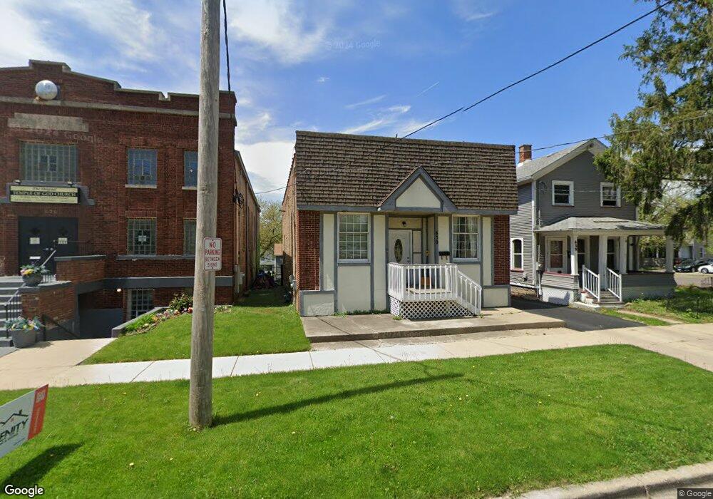
630 N Root St Aurora, IL 60505
Pigeon Hill NeighborhoodEstimated Value: $232,315 - $256,000
2
Beds
1
Bath
1,334
Sq Ft
$183/Sq Ft
Est. Value
About This Home
This home is located at 630 N Root St, Aurora, IL 60505 and is currently estimated at $244,329, approximately $183 per square foot. 630 N Root St is a home located in Kane County with nearby schools including Nicholas A Hermes Elementary School, Simmons Middle School, and East Aurora High School.
Ownership History
Date
Name
Owned For
Owner Type
Purchase Details
Closed on
Jun 20, 2003
Sold by
Ortega Isabel and Ortega Lucia
Bought by
Corral Jaime
Current Estimated Value
Home Financials for this Owner
Home Financials are based on the most recent Mortgage that was taken out on this home.
Original Mortgage
$132,905
Outstanding Balance
$56,187
Interest Rate
5.3%
Mortgage Type
Purchase Money Mortgage
Estimated Equity
$188,142
Purchase Details
Closed on
Jan 5, 1996
Sold by
Rossi Jay Rr and Rossi Carol A
Bought by
Ortega Isabel and Ortega Lucia
Home Financials for this Owner
Home Financials are based on the most recent Mortgage that was taken out on this home.
Original Mortgage
$72,750
Interest Rate
7.36%
Mortgage Type
FHA
Create a Home Valuation Report for This Property
The Home Valuation Report is an in-depth analysis detailing your home's value as well as a comparison with similar homes in the area
Home Values in the Area
Average Home Value in this Area
Purchase History
| Date | Buyer | Sale Price | Title Company |
|---|---|---|---|
| Corral Jaime | $140,000 | -- | |
| Ortega Isabel | $73,000 | First American Title Ins Co |
Source: Public Records
Mortgage History
| Date | Status | Borrower | Loan Amount |
|---|---|---|---|
| Open | Corral Jaime | $132,905 | |
| Previous Owner | Ortega Isabel | $72,750 |
Source: Public Records
Tax History
| Year | Tax Paid | Tax Assessment Tax Assessment Total Assessment is a certain percentage of the fair market value that is determined by local assessors to be the total taxable value of land and additions on the property. | Land | Improvement |
|---|---|---|---|---|
| 2024 | $4,001 | $66,359 | $5,818 | $60,541 |
| 2023 | $3,833 | $59,291 | $5,198 | $54,093 |
| 2022 | $3,654 | $54,098 | $4,743 | $49,355 |
| 2021 | $3,309 | $50,366 | $4,416 | $45,950 |
| 2020 | $3,131 | $46,783 | $4,102 | $42,681 |
| 2019 | $2,959 | $42,482 | $3,801 | $38,681 |
| 2018 | $2,805 | $39,486 | $3,516 | $35,970 |
| 2017 | $2,998 | $36,566 | $3,240 | $33,326 |
| 2016 | $3,092 | $35,380 | $3,267 | $32,113 |
| 2015 | $3,488 | $30,784 | $2,809 | $27,975 |
| 2014 | $3,488 | $29,322 | $2,582 | $26,740 |
| 2013 | $3,488 | $31,685 | $2,741 | $28,944 |
Source: Public Records
Map
Nearby Homes
- 608 Front St
- 773 Aurora Ave
- 747 Delius St
- 461 Wood St
- 304 Hankes Ave
- 231-233 Williams St
- 971 Solfisburg Ave
- 1009 Assell Ave
- 14-18 N Lake St
- 1123 Front St
- 222 Grand Ave
- 357 W Park Ave
- 107 N State St
- 1220 Mitchell Rd
- 371 Cedar St
- 907 Harley Ct
- 574 E Galena Blvd
- 20-22 N Locust St
- 418 W Illinois Ave
- 359 W Galena Blvd
- 632 N Root St
- 622 N Root St Unit 624
- 620 N Root St
- 637 N Lincoln Ave
- 629 N Lincoln Ave
- 625 N Lincoln Ave
- 637 N Root St
- 610 N Root St
- 619 N Lincoln Ave
- 629 N Root St
- 653 N Lincoln Ave
- 625 N Root St
- 316 Rural St
- 320 Rural St
- 324 Rural St
- 621 N Root St
- 328 Rural St
- 657 N Lincoln Ave
- 409 Rural St
- 615 N Root St
Your Personal Tour Guide
Ask me questions while you tour the home.