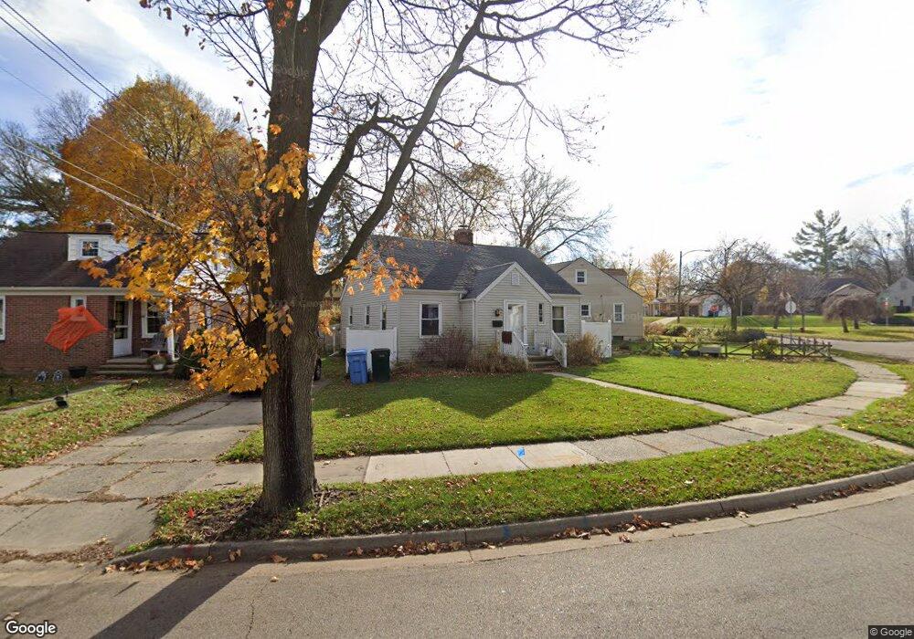
630 Pacific Ave Lansing, MI 48910
Clifford Park NeighborhoodEstimated Value: $136,000 - $172,000
3
Beds
1
Bath
1,616
Sq Ft
$94/Sq Ft
Est. Value
About This Home
This home is located at 630 Pacific Ave, Lansing, MI 48910 and is currently estimated at $151,741, approximately $93 per square foot. 630 Pacific Ave is a home located in Ingham County with nearby schools including Lyons Elementary School, Attwood School, and Eastern High School.
Ownership History
Date
Name
Owned For
Owner Type
Purchase Details
Closed on
Nov 16, 2006
Sold by
Bean Nathan J and Bean Nicole R
Bought by
Citimortgage Inc
Current Estimated Value
Purchase Details
Closed on
Dec 12, 2002
Sold by
The Estate Of Janice Hildebrand and Mcattee Sally
Bought by
Bean Nathan J and Bean Nicole R
Home Financials for this Owner
Home Financials are based on the most recent Mortgage that was taken out on this home.
Original Mortgage
$107,800
Interest Rate
6%
Create a Home Valuation Report for This Property
The Home Valuation Report is an in-depth analysis detailing your home's value as well as a comparison with similar homes in the area
Home Values in the Area
Average Home Value in this Area
Purchase History
| Date | Buyer | Sale Price | Title Company |
|---|---|---|---|
| Citimortgage Inc | $94,900 | None Available | |
| Bean Nathan J | $113,500 | Midstate Title |
Source: Public Records
Mortgage History
| Date | Status | Borrower | Loan Amount |
|---|---|---|---|
| Previous Owner | Bean Nathan J | $107,800 |
Source: Public Records
Tax History
| Year | Tax Paid | Tax Assessment Tax Assessment Total Assessment is a certain percentage of the fair market value that is determined by local assessors to be the total taxable value of land and additions on the property. | Land | Improvement |
|---|---|---|---|---|
| 2025 | $2,904 | $73,800 | $7,900 | $65,900 |
| 2024 | $23 | $66,700 | $7,900 | $58,800 |
| 2023 | $2,723 | $60,800 | $7,900 | $52,900 |
| 2022 | $2,455 | $52,000 | $7,300 | $44,700 |
| 2021 | $2,404 | $48,600 | $4,800 | $43,800 |
| 2020 | $2,389 | $47,400 | $4,800 | $42,600 |
| 2019 | $2,290 | $41,100 | $4,800 | $36,300 |
| 2018 | $2,146 | $37,700 | $4,800 | $32,900 |
| 2017 | $2,055 | $37,700 | $4,800 | $32,900 |
| 2016 | $1,973 | $37,000 | $4,800 | $32,200 |
| 2015 | $1,973 | $35,300 | $9,526 | $25,774 |
| 2014 | $1,973 | $34,900 | $7,409 | $27,491 |
Source: Public Records
Map
Nearby Homes
- 2118 Roberts Ln
- 704 Mckim Ave
- 915 Tisdale Ave
- 2340 S Pennsylvania Ave
- 2201 S Pennsylvania Ave
- 2215 Alpha St
- 2302 Maplewood Ave
- 616 Isbell St
- 1718 Donora St
- 315 E Mount Hope Ave
- 534 Isbell St
- 1731 Herbert St
- 2305 Forest Ave
- 1917 Teel Ave
- 2418 Forest Ave
- 1807 Teel Ave
- 1535 Linval St
- 1515 Linval St
- 531 Torrence Ct
- 413 E Hodge Ave
- 636 Pacific Ave
- 700 Pacific Ave
- 633 Pacific Ave
- 631 Edison Ave
- 637 Edison Ave
- 704 Pacific Ave
- 701 Edison Ave
- 637 Pacific Ave
- 627 Pacific Pkwy
- 2215 Roberts Ln
- 710 Pacific Ave
- 705 Edison Ave
- 619 Pacific Pkwy
- 701 Pacific Ave
- 2218 Roberts Ln
- 705 Pacific Ave
- 711 Edison Ave
- 620 Pacific Pkwy
- 611 Pacific Pkwy
Your Personal Tour Guide
Ask me questions while you tour the home.