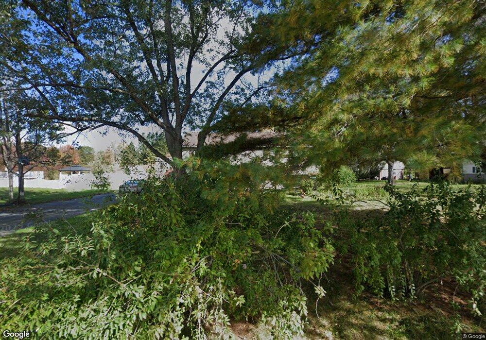
630 Packard St Lancaster, MA 01523
Estimated Value: $472,261 - $524,000
5
Beds
2
Baths
1,276
Sq Ft
$384/Sq Ft
Est. Value
About This Home
This home is located at 630 Packard St, Lancaster, MA 01523 and is currently estimated at $489,565, approximately $383 per square foot. 630 Packard St is a home located in Worcester County with nearby schools including Mary Rowlandson Elementary School, Luther Burbank Middle School, and Nashoba Regional High School.
Create a Home Valuation Report for This Property
The Home Valuation Report is an in-depth analysis detailing your home's value as well as a comparison with similar homes in the area
Home Values in the Area
Average Home Value in this Area
Tax History Compared to Growth
Tax History
| Year | Tax Paid | Tax Assessment Tax Assessment Total Assessment is a certain percentage of the fair market value that is determined by local assessors to be the total taxable value of land and additions on the property. | Land | Improvement |
|---|---|---|---|---|
| 2025 | $6,609 | $409,000 | $111,300 | $297,700 |
| 2024 | $6,687 | $383,000 | $103,600 | $279,400 |
| 2023 | $6,391 | $371,800 | $94,200 | $277,600 |
| 2022 | $6,072 | $312,200 | $97,300 | $214,900 |
| 2021 | $5,786 | $289,600 | $97,300 | $192,300 |
| 2020 | $6,608 | $332,900 | $97,300 | $235,600 |
| 2019 | $5,834 | $295,400 | $97,300 | $198,100 |
| 2018 | $5,528 | $276,700 | $97,300 | $179,400 |
| 2016 | $5,126 | $262,200 | $96,400 | $165,800 |
| 2015 | $4,598 | $245,100 | $96,400 | $148,700 |
| 2014 | $4,421 | $233,800 | $96,400 | $137,400 |
Source: Public Records
Map
Nearby Homes
- 144 Seven Bridge Rd
- 0 Main St
- 453 Blue Heron Dr Unit 453
- 132 Kilbourn Rd
- 73 Prescott St
- 85 Prescott St
- 136 Mill St
- 238 Mill Street Extension
- 23 Bennett Ln
- 92 Mill St
- 93 Fox Run Rd
- 12 Woodruff Rd
- 920 Ridgefield Cir Unit C
- 107 Ridgefield Cir Unit D
- 103 Ridgefield Cir Unit B
- 405 Ridgefield Cir Unit C
- 112 Ridgefield Cir Unit B
- 303 Ridgefield Cir Unit C
- 30 John F. Kennedy Ave
- 0 Parker Rd