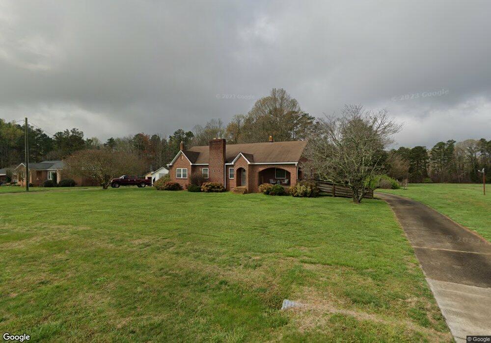
630 Patterson Rd Salisbury, NC 28147
Estimated Value: $338,000 - $458,000
Studio
1
Bath
1,939
Sq Ft
$205/Sq Ft
Est. Value
About This Home
This home is located at 630 Patterson Rd, Salisbury, NC 28147 and is currently estimated at $397,489, approximately $204 per square foot. 630 Patterson Rd is a home located in Rowan County with nearby schools including Millbridge Elementary School, Southeast Middle School, and West Rowan High School.
Ownership History
Date
Name
Owned For
Owner Type
Purchase Details
Closed on
Sep 13, 2022
Sold by
Sloop Crawford F and Revocab Eva
Bought by
Stowe Beth Ann and Stowe Eric Warner
Current Estimated Value
Home Financials for this Owner
Home Financials are based on the most recent Mortgage that was taken out on this home.
Original Mortgage
$291,650
Outstanding Balance
$284,636
Interest Rate
5.22%
Mortgage Type
New Conventional
Estimated Equity
$112,853
Purchase Details
Closed on
Jan 2, 2002
Bought by
Sloop Crawford F
Create a Home Valuation Report for This Property
The Home Valuation Report is an in-depth analysis detailing your home's value as well as a comparison with similar homes in the area
Purchase History
| Date | Buyer | Sale Price | Title Company |
|---|---|---|---|
| Stowe Beth Ann | $300,000 | -- | |
| Stowe Beth Ann | $300,000 | None Listed On Document | |
| Sloop Crawford F | -- | -- |
Source: Public Records
Mortgage History
| Date | Status | Borrower | Loan Amount |
|---|---|---|---|
| Open | Stowe Beth Ann | $291,650 | |
| Closed | Stowe Beth Ann | $291,650 |
Source: Public Records
Tax History
| Year | Tax Paid | Tax Assessment Tax Assessment Total Assessment is a certain percentage of the fair market value that is determined by local assessors to be the total taxable value of land and additions on the property. | Land | Improvement |
|---|---|---|---|---|
| 2025 | $2,687 | $396,622 | $134,861 | $261,761 |
| 2024 | $2,687 | $396,622 | $134,861 | $261,761 |
| 2023 | $2,237 | $330,121 | $68,360 | $261,761 |
| 2022 | $1,662 | $220,068 | $42,890 | $177,178 |
| 2021 | $1,645 | $220,068 | $42,890 | $177,178 |
| 2020 | $1,645 | $220,068 | $42,890 | $177,178 |
| 2019 | $1,645 | $220,068 | $42,890 | $177,178 |
| 2018 | $1,446 | $254,274 | $102,075 | $152,199 |
| 2017 | $1,446 | $254,274 | $102,075 | $152,199 |
| 2016 | $1,446 | $254,274 | $102,075 | $152,199 |
| 2015 | $1,457 | $253,448 | $102,075 | $151,373 |
| 2014 | $1,192 | $225,870 | $102,075 | $123,795 |
Source: Public Records
Map
Nearby Homes
- 1325 Coppergate Dr
- 1135 Stonegate Dr
- 1115 Stonegate Dr
- 1091 Stonegate Dr
- 1063 Stonegate Dr
- 1075 Stonegate Dr
- 1033 Stonegate Dr
- 152 Old Bailey Ct
- 153 Trinity Ct
- 1188 Cobblestone Dr
- 7195 Mooresville Rd
- 000 Mooresville Rd
- 1055 Coppergate Dr
- 1070 Castle Mill Ln
- 250 Goldenrod Cir
- 4115 Miller Rd
- 1910 Cooper Rd
- 170 Saint James Way
- 4712 Mooresville Rd
- 4710 Mooresville Rd
- 650 Patterson Rd
- 540 Patterson Rd
- 720 Patterson Rd
- 575 Patterson Rd
- 6205 Mooresville Rd
- 6311 Mooresville Rd
- 760 Patterson Rd
- 6315 Mooresville Rd
- 855 Patterson Rd
- 840 Patterson Rd
- 6303 Mooresville Rd
- 740 Patterson Rd
- 6009 Mooresville Rd
- 870 Patterson Rd
- 1200 Crossover Ridge Dr
- 6304 Mooresville Rd
- 6007 Mooresville Rd
- 875 Patterson Rd
- 745 Patterson Rd
- 6008 Mooresville Rd
Your Personal Tour Guide
Ask me questions while you tour the home.