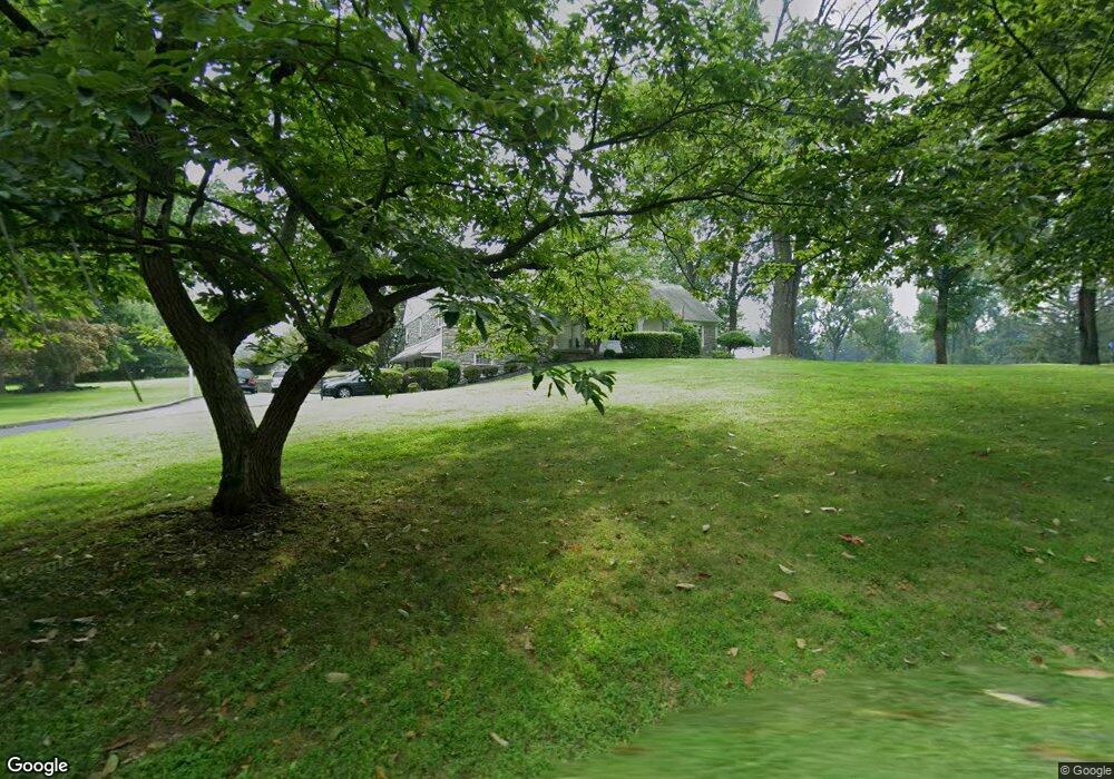
630 Port Indian Rd West Norriton, PA 19403
West Norriton Township NeighborhoodEstimated Value: $669,000 - $768,667
6
Beds
2
Baths
3,574
Sq Ft
$199/Sq Ft
Est. Value
About This Home
This home is located at 630 Port Indian Rd, West Norriton, PA 19403 and is currently estimated at $710,222, approximately $198 per square foot. 630 Port Indian Rd is a home located in Montgomery County with nearby schools including Charles Blockson Middle School, Paul V Fly Elementary School, and East Norriton Middle School.
Ownership History
Date
Name
Owned For
Owner Type
Purchase Details
Closed on
Jun 23, 2025
Sold by
Lamont Richard J and Lamont Barbara C
Bought by
Lamont Richard J
Current Estimated Value
Purchase Details
Closed on
Mar 25, 1985
Bought by
Lamont Richard J and Lamont Barbara C
Create a Home Valuation Report for This Property
The Home Valuation Report is an in-depth analysis detailing your home's value as well as a comparison with similar homes in the area
Home Values in the Area
Average Home Value in this Area
Purchase History
| Date | Buyer | Sale Price | Title Company |
|---|---|---|---|
| Lamont Richard J | -- | None Listed On Document | |
| Lamont Richard J | -- | None Listed On Document | |
| Lamont Richard J | -- | -- |
Source: Public Records
Tax History Compared to Growth
Tax History
| Year | Tax Paid | Tax Assessment Tax Assessment Total Assessment is a certain percentage of the fair market value that is determined by local assessors to be the total taxable value of land and additions on the property. | Land | Improvement |
|---|---|---|---|---|
| 2025 | $12,428 | $254,390 | $104,020 | $150,370 |
| 2024 | $12,428 | $254,390 | $104,020 | $150,370 |
| 2023 | $12,288 | $254,390 | $104,020 | $150,370 |
| 2022 | $12,209 | $254,390 | $104,020 | $150,370 |
| 2021 | $12,135 | $254,390 | $104,020 | $150,370 |
| 2020 | $11,772 | $254,390 | $104,020 | $150,370 |
| 2019 | $11,509 | $254,390 | $104,020 | $150,370 |
| 2018 | $9,145 | $254,390 | $104,020 | $150,370 |
| 2017 | $10,866 | $254,390 | $104,020 | $150,370 |
| 2016 | $10,766 | $254,390 | $104,020 | $150,370 |
| 2015 | $9,975 | $254,390 | $104,020 | $150,370 |
| 2014 | $9,975 | $254,390 | $104,020 | $150,370 |
Source: Public Records
Map
Nearby Homes
- 2017 Yorktown S
- 2012 Yorktown S
- 526 Bassett Ln
- 0 Roosevelt Blvd
- 2044 Mill Rd
- 1914 Yorktown S
- 1905 Yorktown N
- 2039 Berkley Rd
- 365 Norris Hall Ln
- 143 Riversedge Dr Unit CONDO 143
- 176 Riversedge Dr
- 2504 Grant Ct
- 121 Woodstream Dr Unit CONDO 121
- 167 Woodstream Dr Unit CONDO 167
- 1503 Reagan Ct
- 307 Brandon Rd
- 402 Brandon Rd
- 1924 Juniata Rd
- 440 Rittenhouse Blvd
- 548 Susan Dr
- 631 Port Indian Rd
- 589 Port Indian Rd
- 557 Port Indian Rd
- 2126 Yorktown S
- 2124 Yorktown S
- 2122 Yorktown S
- 2120 Yorktown S
- 549 Port Indian Rd
- 2118 Yorktown S
- 2118 Yorktown S
- 2116 Yorktown S
- 2116 Yorktown S
- 2141 Hemlock Rd
- 2114 Yorktown S
- 2114 Yorktown S
- 545 Port Indian Rd
- 2112 Yorktown S
- 2112 Yorktown S
- 2107 Yorktown S
- 2110 Yorktown S