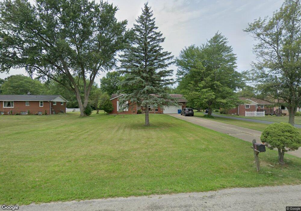
630 Smyth Ave Alliance, OH 44601
Estimated Value: $230,000 - $291,000
3
Beds
3
Baths
1,528
Sq Ft
$167/Sq Ft
Est. Value
About This Home
This home is located at 630 Smyth Ave, Alliance, OH 44601 and is currently estimated at $255,844, approximately $167 per square foot. 630 Smyth Ave is a home located in Stark County with nearby schools including Marlington High School and Regina Coeli/St Joseph School.
Ownership History
Date
Name
Owned For
Owner Type
Purchase Details
Closed on
May 8, 2024
Sold by
Brown Melissa Ann
Bought by
Todd Peter Byron
Current Estimated Value
Purchase Details
Closed on
Dec 29, 2006
Sold by
Williamson Ronnie L and Williamson Paige A
Bought by
Phillips Richard J and Phillips Karen M
Home Financials for this Owner
Home Financials are based on the most recent Mortgage that was taken out on this home.
Original Mortgage
$77,700
Interest Rate
6.27%
Mortgage Type
Purchase Money Mortgage
Purchase Details
Closed on
Aug 26, 1988
Create a Home Valuation Report for This Property
The Home Valuation Report is an in-depth analysis detailing your home's value as well as a comparison with similar homes in the area
Home Values in the Area
Average Home Value in this Area
Purchase History
| Date | Buyer | Sale Price | Title Company |
|---|---|---|---|
| Todd Peter Byron | -- | None Listed On Document | |
| Phillips Richard J | $154,400 | Attorney | |
| -- | $72,500 | -- |
Source: Public Records
Mortgage History
| Date | Status | Borrower | Loan Amount |
|---|---|---|---|
| Previous Owner | Phillips Richard J | $77,700 |
Source: Public Records
Tax History Compared to Growth
Tax History
| Year | Tax Paid | Tax Assessment Tax Assessment Total Assessment is a certain percentage of the fair market value that is determined by local assessors to be the total taxable value of land and additions on the property. | Land | Improvement |
|---|---|---|---|---|
| 2025 | -- | $84,070 | $23,170 | $60,900 |
| 2024 | -- | $84,070 | $23,170 | $60,900 |
| 2023 | $1,708 | $57,680 | $16,310 | $41,370 |
| 2022 | $1,729 | $57,680 | $16,310 | $41,370 |
| 2021 | $1,735 | $57,680 | $16,310 | $41,370 |
| 2020 | $1,593 | $48,790 | $14,070 | $34,720 |
| 2019 | $1,582 | $48,790 | $14,070 | $34,720 |
| 2018 | $1,584 | $48,790 | $14,070 | $34,720 |
| 2017 | $1,319 | $39,940 | $7,910 | $32,030 |
| 2016 | $1,319 | $39,940 | $7,910 | $32,030 |
| 2015 | $1,256 | $39,940 | $7,910 | $32,030 |
| 2014 | $1,402 | $40,570 | $8,050 | $32,520 |
| 2013 | $697 | $40,570 | $8,050 | $32,520 |
Source: Public Records
Map
Nearby Homes
- 000 Klinger Ave
- 432 Johnson Ave
- 0 Klinger Ave NE
- 000 Meadowbrook Ave
- 0 W Main St Unit 5090123
- 0 Meadowbrook Ave
- 0 Meadow St NE
- 0 Johnson Ave NE Unit 5142926
- 13334 Cindy St NE
- 0 Homestead Ave NE
- 11480 Aebi Ave NE
- 14422 Sturbridge Rd NE
- 565 W Broadway St
- 14723 Bolton St NE
- 329 1/2 W Main St
- 345 W Market St
- 520 W Cambridge St
- 725 W Summit St
- 734 Parkway Blvd
- 163 W Market St
- 660 Smyth Ave
- 600 Smyth Ave
- 540 Smyth Ave
- 537 Smyth Ave
- 1496 Lambert St
- 702 Smyth Ave
- 520 Smyth Ave
- 1489 Mishler Ave
- 1497 Lambert St
- 1485 Mishler Ave
- 1488 Lambert St
- 1489 Mishler St NE
- 1496 Mishler Ave
- 722 Smyth Ave
- 1542 W Vine St NE
- 1484 Mishler Ave
- 1484 Lambert St
- 1485 Lambert St
- 760 Smyth Ave
- 1488 Mishler St NE