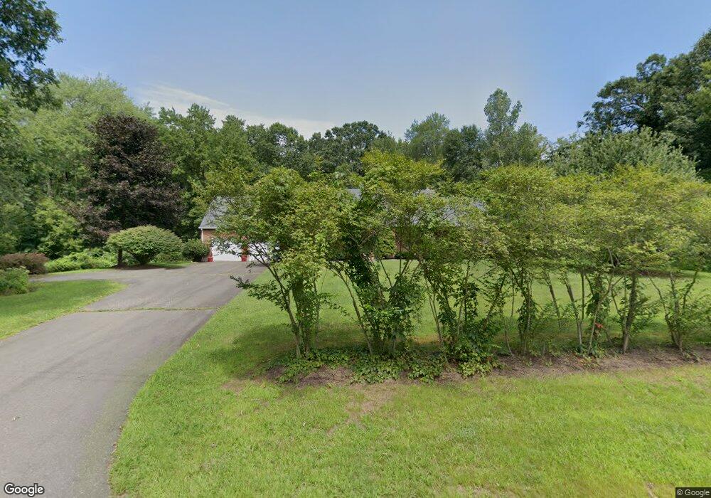
630 Strong Rd South Windsor, CT 06074
Estimated Value: $717,235 - $976,000
4
Beds
3
Baths
3,299
Sq Ft
$243/Sq Ft
Est. Value
About This Home
This home is located at 630 Strong Rd, South Windsor, CT 06074 and is currently estimated at $800,559, approximately $242 per square foot. 630 Strong Rd is a home located in Hartford County with nearby schools including Timothy Edwards School and South Windsor High School.
Ownership History
Date
Name
Owned For
Owner Type
Purchase Details
Closed on
Oct 23, 2015
Sold by
Deutsche Bk Natl T Co
Bought by
Smith&Candela Llc
Current Estimated Value
Purchase Details
Closed on
Jul 27, 1998
Sold by
Petrone William and Petrone Jan
Bought by
Smith Sheryl
Home Financials for this Owner
Home Financials are based on the most recent Mortgage that was taken out on this home.
Original Mortgage
$222,811
Interest Rate
6.99%
Mortgage Type
Unknown
Create a Home Valuation Report for This Property
The Home Valuation Report is an in-depth analysis detailing your home's value as well as a comparison with similar homes in the area
Home Values in the Area
Average Home Value in this Area
Purchase History
| Date | Buyer | Sale Price | Title Company |
|---|---|---|---|
| Smith&Candela Llc | -- | -- | |
| Smith Sheryl | $268,000 | -- |
Source: Public Records
Mortgage History
| Date | Status | Borrower | Loan Amount |
|---|---|---|---|
| Previous Owner | Smith Sheryl | $222,811 | |
| Previous Owner | Smith Sheryl | $76,000 |
Source: Public Records
Tax History
| Year | Tax Paid | Tax Assessment Tax Assessment Total Assessment is a certain percentage of the fair market value that is determined by local assessors to be the total taxable value of land and additions on the property. | Land | Improvement |
|---|---|---|---|---|
| 2025 | $15,067 | $423,100 | $149,600 | $273,500 |
| 2024 | $14,580 | $423,100 | $149,600 | $273,500 |
| 2023 | $14,022 | $423,100 | $149,600 | $273,500 |
| 2022 | $12,453 | $321,200 | $149,500 | $171,700 |
| 2021 | $12,161 | $321,200 | $149,500 | $171,700 |
| 2020 | $12,167 | $321,200 | $149,500 | $171,700 |
| 2019 | $12,366 | $321,200 | $149,500 | $171,700 |
| 2018 | $12,100 | $321,200 | $149,500 | $171,700 |
| 2017 | $11,611 | $304,900 | $149,500 | $155,400 |
| 2016 | $11,385 | $304,900 | $149,500 | $155,400 |
| 2015 | $11,141 | $304,900 | $149,500 | $155,400 |
| 2014 | $10,827 | $304,900 | $149,500 | $155,400 |
Source: Public Records
Map
Nearby Homes
- 724 Strong Rd
- 560 Governors Hwy
- 668 Sullivan Ave
- 700 Governors Hwy
- 503 Mill Pond Dr Unit 503
- 62 Candlewood Dr Unit 62
- 83 Candlewood Dr Unit 83
- 4 Steep Rd
- 44 Oxbow Ln
- 176 Candlewood Dr Unit 176
- 1011 Twin Circle Dr Unit 1011
- 1106 Twin Circle Dr
- 2702 Mill Pond Dr Unit 2702
- 79 Steep Rd
- 31 Riverview Dr Unit 31
- 316 Pepin Place Unit 316
- 28 Shepard Way Unit 28
- 15 Pepin Place
- 37 Farnham Rd
- 16 Foxglove Ln Unit 16
Your Personal Tour Guide
Ask me questions while you tour the home.