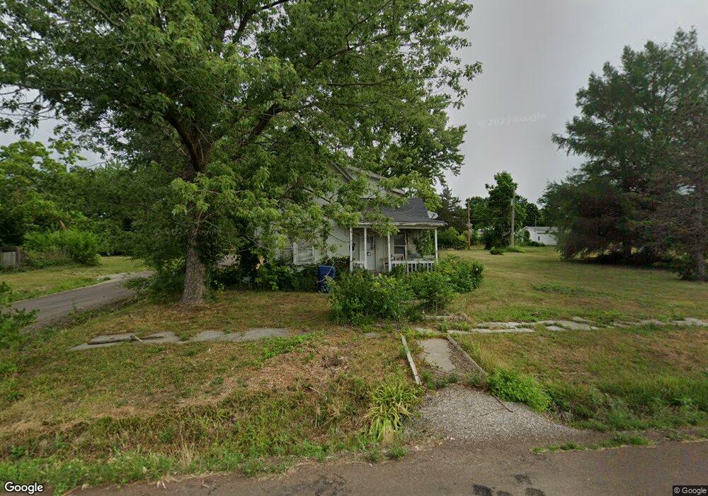
630 W Dake St Brookfield, MO 64628
Estimated Value: $62,045 - $126,000
3
Beds
1
Bath
1,658
Sq Ft
$62/Sq Ft
Est. Value
About This Home
This home is located at 630 W Dake St, Brookfield, MO 64628 and is currently estimated at $102,011, approximately $61 per square foot. 630 W Dake St is a home with nearby schools including Brookfield Elementary School, Brookfield Middle School, and Brookfield High School.
Ownership History
Date
Name
Owned For
Owner Type
Purchase Details
Closed on
Dec 19, 2014
Sold by
Rick Eubanks
Bought by
Rossberg Raymond Monroe
Current Estimated Value
Home Financials for this Owner
Home Financials are based on the most recent Mortgage that was taken out on this home.
Original Mortgage
$12,000
Interest Rate
4.04%
Mortgage Type
New Conventional
Purchase Details
Closed on
Jul 10, 2008
Bought by
Kindschy Robert
Create a Home Valuation Report for This Property
The Home Valuation Report is an in-depth analysis detailing your home's value as well as a comparison with similar homes in the area
Home Values in the Area
Average Home Value in this Area
Purchase History
| Date | Buyer | Sale Price | Title Company |
|---|---|---|---|
| Rossberg Raymond Monroe | $15,000 | Professional Land Title Co | |
| Kindschy Robert | $53,200 | -- |
Source: Public Records
Mortgage History
| Date | Status | Borrower | Loan Amount |
|---|---|---|---|
| Closed | Rossberg Raymond Monroe | $12,000 |
Source: Public Records
Tax History
| Year | Tax Paid | Tax Assessment Tax Assessment Total Assessment is a certain percentage of the fair market value that is determined by local assessors to be the total taxable value of land and additions on the property. | Land | Improvement |
|---|---|---|---|---|
| 2025 | $209 | $3,456 | $1,121 | $2,335 |
| 2024 | $2 | $3,344 | $1,121 | $2,223 |
| 2023 | $209 | $3,344 | $1,121 | $2,223 |
| 2022 | $202 | $3,230 | $1,121 | $2,109 |
| 2021 | $195 | $3,230 | $1,121 | $2,109 |
| 2020 | $203 | $3,230 | $1,121 | $2,109 |
| 2019 | $203 | $3,230 | $1,121 | $2,109 |
| 2018 | $209 | $3,344 | $1,121 | $2,223 |
| 2015 | -- | $3,572 | $1,121 | $2,451 |
| 2011 | -- | $18,800 | $5,900 | $12,900 |
Source: Public Records
Map
Nearby Homes
- 627 Mcgowan St
- 420 Mcgowan St
- 420 Smith St
- 713 Brookfield Ave
- 1002 N State St
- 119 W Dake St
- 1118 Courtland St
- 417 Laclede Ave
- 721 Lincoln St
- 0 W Wood St
- 1007 Country Side Dr
- 317 Macon St
- 316 Macon St
- 117 N Main St
- 303 Shelby St
- 0 S State St
- 201 Percy Ln
- 304 E Canal St
- 547 Harrison St
- 21145 Highway 5
Your Personal Tour Guide
Ask me questions while you tour the home.