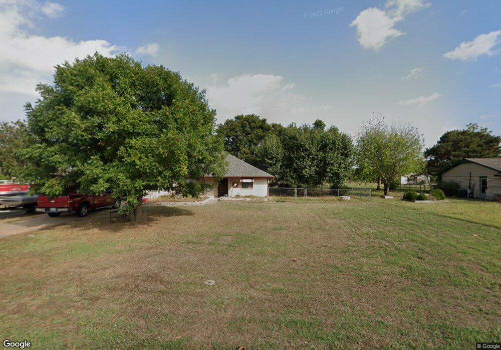
630 Westview Rd Duncan, OK 73533
Estimated Value: $159,000 - $179,000
3
Beds
2
Baths
1,965
Sq Ft
$86/Sq Ft
Est. Value
About This Home
This home is located at 630 Westview Rd, Duncan, OK 73533 and is currently estimated at $168,395, approximately $85 per square foot. 630 Westview Rd is a home located in Stephens County with nearby schools including Mark Twain Elementary School, Duncan Middle School, and Duncan High School.
Ownership History
Date
Name
Owned For
Owner Type
Purchase Details
Closed on
Mar 17, 2014
Sold by
Cunningham Hugh J
Bought by
Dulworth Bobby L
Current Estimated Value
Home Financials for this Owner
Home Financials are based on the most recent Mortgage that was taken out on this home.
Original Mortgage
$77,500
Outstanding Balance
$58,614
Interest Rate
4.36%
Mortgage Type
New Conventional
Estimated Equity
$109,781
Purchase Details
Closed on
Mar 14, 2003
Sold by
Whitehead Rory
Purchase Details
Closed on
Feb 3, 2003
Sold by
Whitehead Rory
Purchase Details
Closed on
Oct 30, 2002
Sold by
Whitehead Rory
Purchase Details
Closed on
Jan 20, 2002
Sold by
Whitehead Rory
Create a Home Valuation Report for This Property
The Home Valuation Report is an in-depth analysis detailing your home's value as well as a comparison with similar homes in the area
Purchase History
| Date | Buyer | Sale Price | Title Company |
|---|---|---|---|
| Dulworth Bobby L | $92,500 | None Available | |
| -- | $89,500 | -- | |
| -- | -- | -- | |
| -- | -- | -- | |
| -- | -- | -- |
Source: Public Records
Mortgage History
| Date | Status | Borrower | Loan Amount |
|---|---|---|---|
| Open | Dulworth Bobby L | $77,500 |
Source: Public Records
Tax History
| Year | Tax Paid | Tax Assessment Tax Assessment Total Assessment is a certain percentage of the fair market value that is determined by local assessors to be the total taxable value of land and additions on the property. | Land | Improvement |
|---|---|---|---|---|
| 2025 | $1,140 | $13,521 | $893 | $12,628 |
| 2024 | $1,045 | $12,263 | $893 | $11,370 |
| 2023 | $1,045 | $12,264 | $893 | $11,371 |
| 2022 | $946 | $11,680 | $893 | $10,787 |
| 2021 | $902 | $10,594 | $893 | $9,701 |
| 2020 | $938 | $10,858 | $893 | $9,965 |
| 2019 | $900 | $10,399 | $893 | $9,506 |
| 2018 | $1,001 | $11,548 | $893 | $10,655 |
| 2017 | $920 | $11,244 | $893 | $10,351 |
| 2016 | $867 | $10,199 | $893 | $9,306 |
| 2015 | $1,015 | $10,199 | $893 | $9,306 |
| 2014 | $1,015 | $12,550 | $814 | $11,736 |
Source: Public Records
Map
Nearby Homes
- 2622 Highcrest Dr
- 602 Fieldcrest Dr
- TBD S 27th St
- 208 N 29th St
- 0 W Beech Ave
- 261 N 29th St
- 2110 W Main St
- 2150 W Main St
- 209 N 22nd St
- 2006 W Oak Ave
- 1715 S 42nd St
- 174831 N 2844 Rd
- 1377 Drexal Place
- 2086 N 44th St
- 1905 W Ash Ave
- 2210 Western Dr
- 1705 W Ash Ave
- 123 N Highway 81
- 168466 9 Mile Rd
- 4549 W Seminole Rd
- 640 Westview Rd
- 620 Westview Rd
- 635 Westview Rd
- 650 Westview Rd
- 645 Westview Rd
- 570 Westview Rd
- 655 Westview Rd
- 575 Westview Rd
- 720 Westview Rd
- 560 Westview Rd
- 725 Westview Rd
- 565 Westview Rd
- 550 Westview Rd
- 622 Westside Dr
- 735 Westview Rd
- 618 Westside Dr
- 614 Westside Dr
- 824 Westside Dr
- 706 Westside Dr
- 555 Westview Rd
Your Personal Tour Guide
Ask me questions while you tour the home.