630 White Rock St Delaware, OH 43015
Estimated Value: $294,000 - $301,000
3
Beds
3
Baths
1,499
Sq Ft
$198/Sq Ft
Est. Value
About This Home
This home is located at 630 White Rock St, Delaware, OH 43015 and is currently estimated at $297,287, approximately $198 per square foot. 630 White Rock St is a home located in Delaware County with nearby schools including Robert F. Schultz Elementary School, John C. Dempsey Middle School, and Rutherford B. Hayes High School.
Ownership History
Date
Name
Owned For
Owner Type
Purchase Details
Closed on
Aug 24, 2006
Sold by
The Meadows At Carson Farms Llc
Bought by
Feuillerat Robert A and Vonville Feuillerat Michaele C
Current Estimated Value
Home Financials for this Owner
Home Financials are based on the most recent Mortgage that was taken out on this home.
Original Mortgage
$100,035
Outstanding Balance
$60,450
Interest Rate
6.88%
Mortgage Type
Purchase Money Mortgage
Estimated Equity
$236,837
Purchase Details
Closed on
Dec 28, 2004
Sold by
Davis Ronald E
Bought by
The Meadows At Carson Farms Llc
Create a Home Valuation Report for This Property
The Home Valuation Report is an in-depth analysis detailing your home's value as well as a comparison with similar homes in the area
Home Values in the Area
Average Home Value in this Area
Purchase History
| Date | Buyer | Sale Price | Title Company |
|---|---|---|---|
| Feuillerat Robert A | $150,100 | Talon Group | |
| The Meadows At Carson Farms Llc | -- | -- | |
| Davis Ronald E | -- | -- |
Source: Public Records
Mortgage History
| Date | Status | Borrower | Loan Amount |
|---|---|---|---|
| Open | Feuillerat Robert A | $100,035 |
Source: Public Records
Tax History Compared to Growth
Tax History
| Year | Tax Paid | Tax Assessment Tax Assessment Total Assessment is a certain percentage of the fair market value that is determined by local assessors to be the total taxable value of land and additions on the property. | Land | Improvement |
|---|---|---|---|---|
| 2024 | $3,553 | $75,250 | $16,100 | $59,150 |
| 2023 | $3,559 | $75,250 | $16,100 | $59,150 |
| 2022 | $2,982 | $54,710 | $12,250 | $42,460 |
| 2021 | $2,673 | $54,710 | $12,250 | $42,460 |
| 2020 | $3,083 | $54,710 | $12,250 | $42,460 |
| 2019 | $2,744 | $44,140 | $8,750 | $35,390 |
| 2018 | $2,782 | $44,140 | $8,750 | $35,390 |
| 2017 | $2,756 | $39,130 | $7,560 | $31,570 |
| 2016 | $2,251 | $39,130 | $7,560 | $31,570 |
| 2015 | $2,263 | $39,130 | $7,560 | $31,570 |
| 2014 | $2,299 | $39,130 | $7,560 | $31,570 |
| 2013 | $2,312 | $39,130 | $7,560 | $31,570 |
Source: Public Records
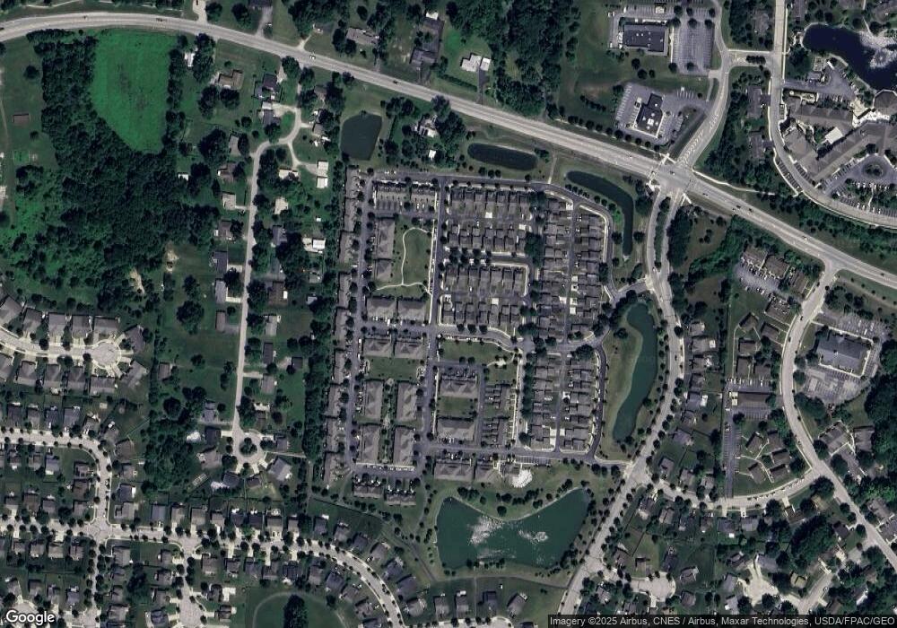
Map
Nearby Homes
- 736 Swanson St
- 327 Rockmill St
- 123 Helen Ct
- 383 Wheatfield Dr
- 93 New Market Dr
- 231 Rockmill St
- 431 Wheatfield Dr
- 370 Little Creek Dr Unit 370
- 157 Forest Lake Ct
- 169 Hillside Dr
- 66 Rachel Ln
- 347 Amelia Ln
- 135 Crestview Dr
- 135 Saratoga St Unit 156
- 106 Paine St Unit 189
- 184 Diverston Way
- 111 Shay St Unit 177
- 336 Onyx Ln
- 177 Richards Dr
- 227 Bartlett St Unit 11
- 624 White Rock St
- 618 White Rock St
- 612 White Rock St
- 737 Swanson St
- 731 Swanson St
- 725 Swanson St
- 606 White Rock St
- 719 Swanson St
- 604 White Rock St
- 713 Swanson St
- 707 Swanson St
- 600 White Rock St
- 701 Swanson St
- 718 Swanson St
- 712 Swanson St
- 706 Swanson St
- 855 Summerville Dr
- 867 Summerville Dr
- 700 Swanson St
- 849 Summerville Dr