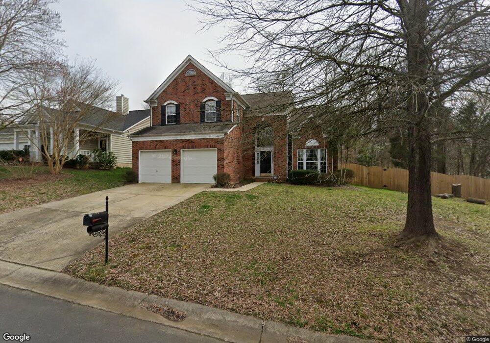
6300 Manheim Ct Charlotte, NC 28226
Olde Providence South NeighborhoodEstimated Value: $586,000 - $729,000
3
Beds
3
Baths
2,114
Sq Ft
$300/Sq Ft
Est. Value
About This Home
This home is located at 6300 Manheim Ct, Charlotte, NC 28226 and is currently estimated at $634,297, approximately $300 per square foot. 6300 Manheim Ct is a home located in Mecklenburg County with nearby schools including Olde Providence Elementary, Carmel Middle, and Charlotte Country Day School.
Ownership History
Date
Name
Owned For
Owner Type
Purchase Details
Closed on
Mar 31, 2016
Sold by
Mcguire Catherine B
Bought by
Maxwell Andrea and Maxwell Peter
Current Estimated Value
Home Financials for this Owner
Home Financials are based on the most recent Mortgage that was taken out on this home.
Original Mortgage
$293,144
Outstanding Balance
$233,114
Interest Rate
3.71%
Estimated Equity
$401,183
Purchase Details
Closed on
Feb 26, 1998
Sold by
Beazer Homes Corp
Bought by
Mcguire Catherine B
Home Financials for this Owner
Home Financials are based on the most recent Mortgage that was taken out on this home.
Original Mortgage
$144,000
Interest Rate
6.86%
Create a Home Valuation Report for This Property
The Home Valuation Report is an in-depth analysis detailing your home's value as well as a comparison with similar homes in the area
Home Values in the Area
Average Home Value in this Area
Purchase History
| Date | Buyer | Sale Price | Title Company |
|---|---|---|---|
| Maxwell Andrea | -- | -- | |
| Mcguire Catherine B | $180,500 | -- |
Source: Public Records
Mortgage History
| Date | Status | Borrower | Loan Amount |
|---|---|---|---|
| Open | Maxwell Andrea | $293,144 | |
| Closed | Maxwell Andrea | -- | |
| Previous Owner | Mcguire Catherine B | $144,000 |
Source: Public Records
Tax History Compared to Growth
Tax History
| Year | Tax Paid | Tax Assessment Tax Assessment Total Assessment is a certain percentage of the fair market value that is determined by local assessors to be the total taxable value of land and additions on the property. | Land | Improvement |
|---|---|---|---|---|
| 2025 | $3,849 | $488,100 | $162,000 | $326,100 |
| 2024 | $3,849 | $488,100 | $162,000 | $326,100 |
| 2023 | $3,719 | $488,100 | $162,000 | $326,100 |
| 2022 | $3,715 | $372,000 | $150,000 | $222,000 |
| 2021 | $3,704 | $372,000 | $150,000 | $222,000 |
| 2020 | $3,641 | $366,200 | $150,000 | $216,200 |
| 2019 | $3,625 | $366,200 | $150,000 | $216,200 |
| 2018 | $3,265 | $243,300 | $85,000 | $158,300 |
| 2017 | $3,212 | $243,300 | $85,000 | $158,300 |
| 2016 | $3,203 | $243,300 | $85,000 | $158,300 |
| 2015 | $3,191 | $243,300 | $85,000 | $158,300 |
| 2014 | $3,187 | $0 | $0 | $0 |
Source: Public Records
Map
Nearby Homes
- 6307 Manheim Ct
- 6542 Cross Field Ln
- 6701 Brynwood Dr
- 7138 Wessynton Dr
- 5827 Rileys Ridge Rd
- 5217 Hillingdon Rd
- 2718 Chessel Place
- 6133 Wakehurst Rd Unit 203
- 4408 Mickleton Rd Unit 1704
- 2618 Whitney Hill Rd
- 3430 Rea Rd
- 4406 Mottisfont Abbey Ln Unit 2307
- 5232 Leonardslee Ct Unit 2701
- 7220 Rea Croft Dr
- 7328 Summerlin Place
- 4019 River Ridge Rd
- 6917 Lancer Dr
- 7006 Waggoners Glen Ln
- 8007 Vanderhorn Ln
- 4905 Montibello Dr
- 6306 Manheim Ct
- 7131 Colony Rd
- 6301 Manheim Ct
- 6532 Brynwood Dr
- 7124 Colony Rd
- 6542 Brynwood Dr
- 7139 Colony Rd
- 6528 Brynwood Dr
- 7136 Colony Rd
- 7037 Lenhart Dr
- 7041 Lenhart Dr
- 7034 Weirton Place
- 6548 Brynwood Dr
- 7326 Sherwood Forest Dr
- 6522 Brynwood Dr
- 7033 Lenhart Dr
- 7200 Colony Rd
- 6531 Brynwood Dr
- 7032 Weirton Place
- 6547 Brynwood Dr