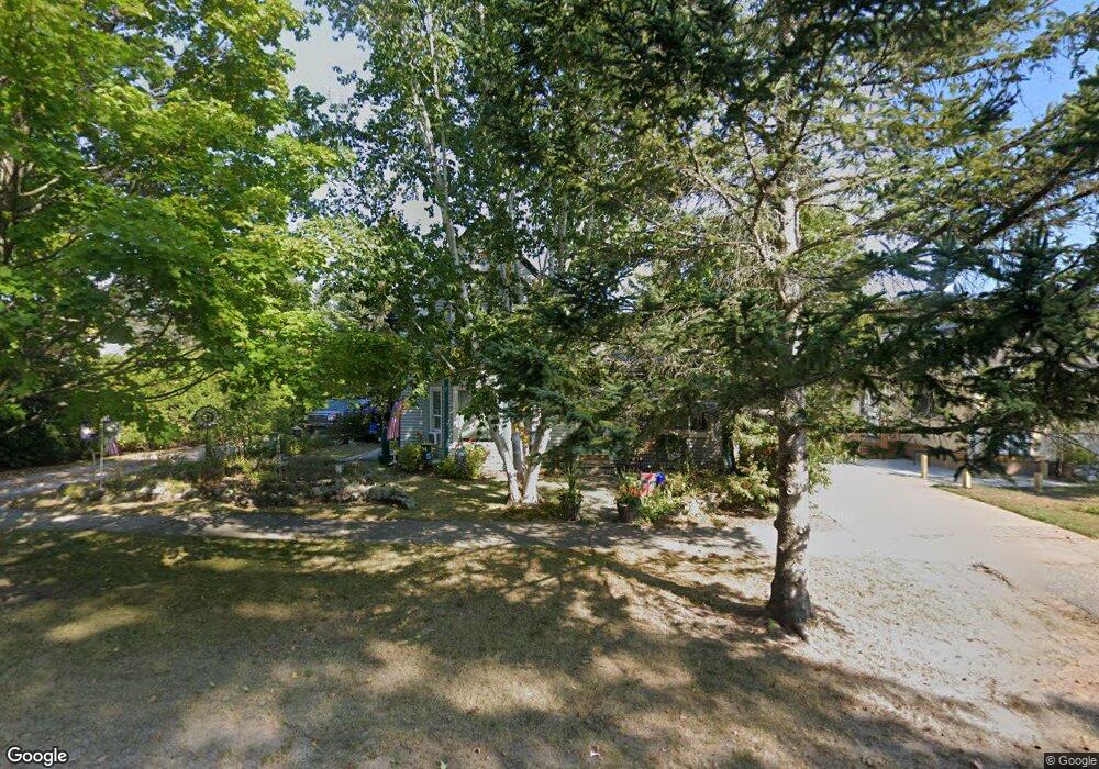
6301 W State St Pellston, MI 49769
Estimated Value: $200,000 - $243,000
3
Beds
2
Baths
1,500
Sq Ft
$148/Sq Ft
Est. Value
About This Home
This home is located at 6301 W State St, Pellston, MI 49769 and is currently estimated at $222,673, approximately $148 per square foot. 6301 W State St is a home located in Emmet County with nearby schools including Pellston Elementary School and Pellston Middle/High School.
Ownership History
Date
Name
Owned For
Owner Type
Purchase Details
Closed on
Apr 28, 2021
Sold by
Woodthorp Carrie L
Bought by
Woodthorp Carrie L and Hall Steven W
Current Estimated Value
Purchase Details
Closed on
Jan 6, 2010
Sold by
Manning Kenneth G
Bought by
Woodthorp Carrie L
Home Financials for this Owner
Home Financials are based on the most recent Mortgage that was taken out on this home.
Original Mortgage
$59,500
Interest Rate
4.87%
Purchase Details
Closed on
Jan 30, 2009
Sold by
Kondaur Capital Corporation
Bought by
Manning Kenneth G
Purchase Details
Closed on
Jan 28, 2009
Sold by
Kondaur Ventures V Llc
Bought by
Kondaur Capital Corporation
Purchase Details
Closed on
Jan 2, 2009
Sold by
National City Bank
Bought by
Kondaur Ventures V Llc
Purchase Details
Closed on
Oct 10, 2007
Sold by
Stickel Inga C
Bought by
National City Bank
Purchase Details
Closed on
Mar 31, 2003
Sold by
Oliver Samuel and Oliver Lynn
Bought by
Stickel Patrick T and Stickel Inga C
Purchase Details
Closed on
May 1, 1993
Sold by
Cameron Wd L523 P905
Bought by
Oliver
Create a Home Valuation Report for This Property
The Home Valuation Report is an in-depth analysis detailing your home's value as well as a comparison with similar homes in the area
Home Values in the Area
Average Home Value in this Area
Purchase History
| Date | Buyer | Sale Price | Title Company |
|---|---|---|---|
| Woodthorp Carrie L | -- | -- | |
| Woodthorp Carrie L | $57,500 | -- | |
| Manning Kenneth G | $30,000 | -- | |
| Kondaur Capital Corporation | -- | -- | |
| Kondaur Ventures V Llc | -- | -- | |
| National City Bank | $108,000 | -- | |
| Stickel Patrick T | $112,000 | -- | |
| Oliver | $32,900 | -- |
Source: Public Records
Mortgage History
| Date | Status | Borrower | Loan Amount |
|---|---|---|---|
| Previous Owner | Woodthorp Carrie L | $59,500 |
Source: Public Records
Tax History Compared to Growth
Tax History
| Year | Tax Paid | Tax Assessment Tax Assessment Total Assessment is a certain percentage of the fair market value that is determined by local assessors to be the total taxable value of land and additions on the property. | Land | Improvement |
|---|---|---|---|---|
| 2025 | $1,770 | $94,800 | $94,800 | $0 |
| 2024 | $1,770 | $88,700 | $88,700 | $0 |
| 2023 | $1,650 | $81,300 | $81,300 | $0 |
| 2022 | $1,650 | $74,700 | $74,700 | $0 |
| 2021 | $1,713 | $69,600 | $69,600 | $0 |
| 2020 | $1,720 | $66,500 | $66,500 | $0 |
| 2019 | -- | $58,700 | $58,700 | $0 |
| 2018 | -- | $53,700 | $53,700 | $0 |
| 2017 | -- | $53,500 | $53,500 | $0 |
| 2016 | -- | $50,700 | $50,700 | $0 |
| 2015 | -- | $45,200 | $0 | $0 |
| 2014 | -- | $44,600 | $0 | $0 |
Source: Public Records
Map
Nearby Homes
- 6457 State St
- 000 Vacant U S 31
- 6421 Airport Crossing Rd Unit 1
- 7840 Douglas Lake Rd
- TBD Teal Rd
- 3117 Jackie Ln
- 9670 Silver Strand Rd
- 4333 U S 31
- 9485 Ingleside Rd
- 4189 N Ayr Rd
- 2564 E Brutus Rd
- 10999 Koepke Rd
- 10222 W Munro Lake Dr
- 5100 N Bay Way
- 5383 N Conway Rd
- 1975 &1995 Club House Dr
- 1975 + 1995 Club House Dr
- 4310 E Burt Lake Rd
- 6167 Lambert Dr
- 1830 Indian Point Rd