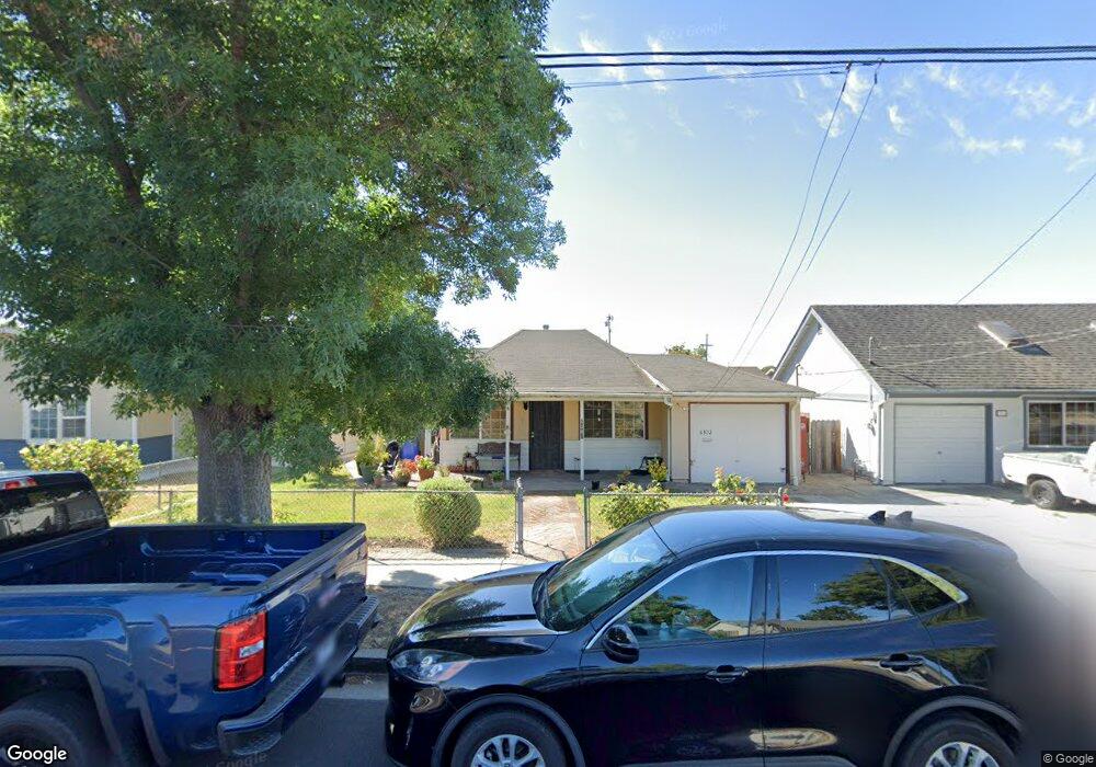
6302 Mayhews Landing Rd Newark, CA 94560
Estimated Value: $1,103,000 - $1,245,842
About This Home
This home is located at 6302 Mayhews Landing Rd, Newark, CA 94560 and is currently estimated at $1,194,461, approximately $839 per square foot. 6302 Mayhews Landing Rd is a home located in Alameda County with nearby schools including Coyote Hills Elementary School, Newark Junior High School, and Newark Memorial High School.
Ownership History
We collect this data history from publicly available records. To have your information removed, we recommend requesting removal directly through your county’s website.
Purchase Details
Home Financials for this Owner
Home Financials are based on the most recent Mortgage that was taken out on this home.Purchase Details
Home Financials for this Owner
Home Financials are based on the most recent Mortgage that was taken out on this home.Purchase Details
Home Financials for this Owner
Home Financials are based on the most recent Mortgage that was taken out on this home.Purchase Details
Purchase Details
Home Values in the Area
Average Home Value in this Area
Purchase History
We collect this data history from publicly available records. To have your information removed, we recommend requesting removal directly through your county’s website.
| Date | Buyer | Sale Price | Title Company |
|---|---|---|---|
| -- | -- | ||
| $430,000 | Fidelity National Title Co | ||
| -- | Chicago Title Co | ||
| -- | -- | ||
| -- | -- |
Mortgage History
We collect this data history from publicly available records. To have your information removed, we recommend requesting removal directly through your county’s website.
| Date | Status | Borrower | Loan Amount |
|---|---|---|---|
| Open | $301,000 | ||
| Previous Owner | $40,000 | ||
| Closed | $64,500 |
Tax History
We collect this data history from publicly available records. To have your information removed, we recommend requesting removal directly through your county’s website.
| Year | Tax Paid | Tax Assessment Tax Assessment Total Assessment is a certain percentage of the fair market value that is determined by local assessors to be the total taxable value of land and additions on the property. | Land | Improvement |
|---|---|---|---|---|
| 2025 | $7,742 | $617,702 | $184,822 | $432,880 |
| 2024 | $7,742 | $605,593 | $181,199 | $424,394 |
| 2023 | $7,531 | $593,719 | $177,646 | $416,073 |
| 2022 | $7,432 | $582,079 | $174,163 | $407,916 |
| 2021 | $7,180 | $564,787 | $170,749 | $394,038 |
| 2020 | $7,074 | $559,000 | $169,000 | $390,000 |
| 2019 | $6,975 | $548,039 | $165,686 | $382,353 |
| 2018 | $6,871 | $537,293 | $162,437 | $374,856 |
| 2017 | $6,697 | $526,758 | $159,252 | $367,506 |
| 2016 | $6,628 | $516,430 | $156,130 | $360,300 |
| 2015 | $6,606 | $508,672 | $153,784 | $354,888 |
| 2014 | $6,427 | $498,709 | $150,772 | $347,937 |
Map
- 36833 Cherry St
- 36632 Magnolia St
- 36605 Hafner St
- 36569 Beutke Dr
- 37029 Olive St
- 36347 Colbert Place
- 36637 Burdick St
- 7325 Carter Ave
- 6417/6433 Thornton Ave
- 36057 Dalewood Dr
- 36005 Rosewood Dr
- 36862 Walnut St
- 6346 Cotton Ave
- 7995 Peachtree Ave
- 36284 Birkshire Place
- 36340 Cypress Point Dr
- 6221 Broadway Ave
- 6467 Mirabeau Dr
- 5358 Port Sailwood Dr Unit 34
- 37338 Fowler St
- 6328 Zulmida Ave
- 36570 Deborah St
- 6312 Zulmida Ave
- 36578 Deborah St
- 36545 Leone St
- 6329 Zulmida Ave
- 36563 Deborah St
- 6321 Zulmida Ave
- 6352 Zulmida Ave
- 6337 Zulmida Ave
- 36553 Leone St
- 36571 Deborah St
- 6313 Zulmida Ave
- 36586 Deborah St
- 6345 Zulmida Ave
- 36579 Deborah St
- 6305 Zulmida Ave
- 36561 Leone St
- 6353 Zulmida Ave
- 36594 Deborah St
Ask me questions while you tour the home.