Estimated Value: $363,000 - $446,000
3
Beds
2
Baths
2,303
Sq Ft
$176/Sq Ft
Est. Value
About This Home
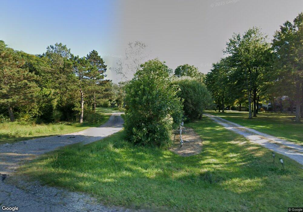
This home is located at 6302 State Route 82, Hiram, OH 44234 and is currently estimated at $406,183, approximately $176 per square foot. 6302 State Route 82 is a home located in Portage County with nearby schools including Crestwood Primary School, Crestwood Intermediate School, and Crestwood Middle School.
Ownership History
Date
Name
Owned For
Owner Type
Purchase Details
Closed on
Sep 19, 2005
Sold by
National Residential Nominee Svcs Inc
Bought by
Dye James M
Current Estimated Value
Home Financials for this Owner
Home Financials are based on the most recent Mortgage that was taken out on this home.
Original Mortgage
$160,000
Interest Rate
6.33%
Mortgage Type
Fannie Mae Freddie Mac
Purchase Details
Closed on
May 26, 2005
Sold by
The Prill Family Living Trust and Prill Michael J
Bought by
National Residential Nominee Services In
Purchase Details
Closed on
Aug 6, 2002
Sold by
James Prill Michael and Sue Kelly
Bought by
Prill Michael J and Prill Kelly S
Create a Home Valuation Report for This Property
The Home Valuation Report is an in-depth analysis detailing your home's value as well as a comparison with similar homes in the area
Home Values in the Area
Average Home Value in this Area
Purchase History
| Date | Buyer | Sale Price | Title Company |
|---|---|---|---|
| Dye James M | $200,000 | Valley Title & Escrow Agency | |
| National Residential Nominee Services In | $220,500 | Valley Title | |
| Prill Michael J | -- | -- |
Source: Public Records
Mortgage History
| Date | Status | Borrower | Loan Amount |
|---|---|---|---|
| Open | Dye James M | $30,000 | |
| Previous Owner | Dye James M | $160,000 |
Source: Public Records
Tax History Compared to Growth
Tax History
| Year | Tax Paid | Tax Assessment Tax Assessment Total Assessment is a certain percentage of the fair market value that is determined by local assessors to be the total taxable value of land and additions on the property. | Land | Improvement |
|---|---|---|---|---|
| 2024 | $4,450 | $113,550 | $18,030 | $95,520 |
| 2023 | $3,955 | $90,760 | $14,770 | $75,990 |
| 2022 | $3,991 | $90,760 | $14,770 | $75,990 |
| 2021 | $4,092 | $90,760 | $14,770 | $75,990 |
| 2020 | $3,660 | $77,560 | $14,770 | $62,790 |
| 2019 | $3,620 | $77,560 | $14,770 | $62,790 |
| 2018 | $3,399 | $70,980 | $14,770 | $56,210 |
| 2017 | $3,399 | $70,980 | $14,770 | $56,210 |
| 2016 | $3,389 | $70,980 | $14,770 | $56,210 |
| 2015 | $3,433 | $70,980 | $14,770 | $56,210 |
| 2014 | $3,462 | $70,980 | $14,770 | $56,210 |
| 2013 | $3,375 | $70,980 | $14,770 | $56,210 |
Source: Public Records
Map
Nearby Homes
- SR 82 Ohio 82
- 6846 Wakefield Rd
- 0 Garfield Rd
- 7000 Village Way Dr
- 7050 Village Way Dr
- 7076 Village Way Dr
- 11383 Rolling Meadows Dr
- 10685 Limeridge Rd
- 6994 Hankee Rd
- 19109 Tilden Rd
- 4791 Pioneer Trail
- Lot 7 Wheeler Rd
- Lot 14 Wheeler Rd
- 0 Ambler Ln Unit 5142203
- 4620 Pioneer Trail
- 7972 State Route 305
- 11131 State Route 44
- 10977 Fox Hollow Dr
- 10018 Nichols Rd
- 7963 State St
- 6268 State Route 82
- 6266 State Route 82
- 6290 State Route 82
- 6248 State Route 82
- 6238 State Route 82
- 6198 State Route 82
- 6188 State Route 82
- 6447 State Route 82
- 6178 State Route 82
- 6183 State Route 82
- 6198 W Wakefield Rd
- 6168 State Route 82
- 6455 State Route 82
- 6168 Ohio 82
- 6143 State Route 82
- 6143 State Route 82 Unit 21,22
- 6124 State Route 82
- 6499 State Route 82
- 11730 Abbott Rd
- 11729 Alpha Rd