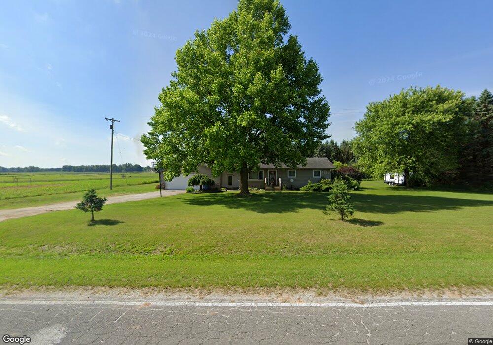
6302 W 16th St Fremont, MI 49412
Estimated Value: $160,000 - $354,000
3
Beds
2
Baths
1,100
Sq Ft
$223/Sq Ft
Est. Value
About This Home
This home is located at 6302 W 16th St, Fremont, MI 49412 and is currently estimated at $245,105, approximately $222 per square foot. 6302 W 16th St is a home located in Newaygo County with nearby schools including Pathfinder Elementary School, Daisy Brook Elementary School, and Fremont Middle School.
Ownership History
Date
Name
Owned For
Owner Type
Purchase Details
Closed on
Apr 10, 2008
Sold by
Household Finance Corp
Bought by
Nieboer Dean Ray
Current Estimated Value
Purchase Details
Closed on
Aug 21, 2007
Sold by
Millis Matthew W
Bought by
Household Finance Corp
Purchase Details
Closed on
Oct 20, 2006
Sold by
Marshall Tricia
Bought by
Millis Matthew
Purchase Details
Closed on
Oct 20, 2000
Sold by
Tubergen Scott D
Bought by
Millis Matthew W Et Ux - Tricia
Create a Home Valuation Report for This Property
The Home Valuation Report is an in-depth analysis detailing your home's value as well as a comparison with similar homes in the area
Home Values in the Area
Average Home Value in this Area
Purchase History
| Date | Buyer | Sale Price | Title Company |
|---|---|---|---|
| Nieboer Dean Ray | $41,000 | -- | |
| Household Finance Corp | $104,900 | -- | |
| Millis Matthew | -- | -- | |
| Millis Matthew W Et Ux - Tricia | $94,000 | -- |
Source: Public Records
Tax History Compared to Growth
Tax History
| Year | Tax Paid | Tax Assessment Tax Assessment Total Assessment is a certain percentage of the fair market value that is determined by local assessors to be the total taxable value of land and additions on the property. | Land | Improvement |
|---|---|---|---|---|
| 2025 | $1,231 | $67,900 | $0 | $0 |
| 2024 | $3 | $56,300 | $0 | $0 |
| 2023 | $252 | $48,700 | $0 | $0 |
| 2022 | $1,130 | $40,600 | $0 | $0 |
| 2021 | $1,105 | $31,000 | $0 | $0 |
| 2020 | $1,064 | $27,900 | $0 | $0 |
| 2019 | $1,025 | $27,100 | $0 | $0 |
| 2018 | $998 | $25,200 | $0 | $0 |
| 2017 | $993 | $24,200 | $0 | $0 |
| 2016 | $919 | $23,700 | $0 | $0 |
| 2015 | -- | $18,800 | $0 | $0 |
| 2014 | -- | $19,100 | $0 | $0 |
Source: Public Records
Map
Nearby Homes
- 3710 Ramshorn Dr
- 415 Vista Ln
- 8828 Elm St
- 734 N Stewart Ave
- 4154 Sunset Dr
- 4483 Meadowbrook Ln
- 1310 Windridge Ln
- 233 Westwood Ave
- 883 Rex St
- 3283 W Ridge St
- Integrity 2190 Plan at Hillcrest
- Integrity 2085 Plan at Hillcrest
- Integrity 2080 Plan at Hillcrest
- Integrity 1610 Plan at Hillcrest
- integrity 1800 Plan at Hillcrest
- Integrity 1605 Plan at Hillcrest
- Integrity 1880 Plan at Hillcrest
- integrity 2280 Plan at Hillcrest
- integrity 1830 Plan at Hillcrest
- Integrity 2000 Plan at Hillcrest
- 1612 S Stone Rd
- 0 W 16th St Unit M16012252
- Parcel A W 16th St
- 0 W 16th St Unit APP 3
- 8591 W 16th St
- 6184 W 16th St
- 1490 S Stone Rd
- 1454 S Stone Rd
- 1725 S Stone Rd
- 1336 S Stone Rd
- 1329 S Stone Rd
- 1920 S Stone Rd
- 6135 W 16th St
- 1955 S Stone Rd
- 1980 S Stone Rd
- 6261 Pat St
- 6309 Pat St
- 6233 Pat St
- 6201 Pat St
- 6169 Pat St