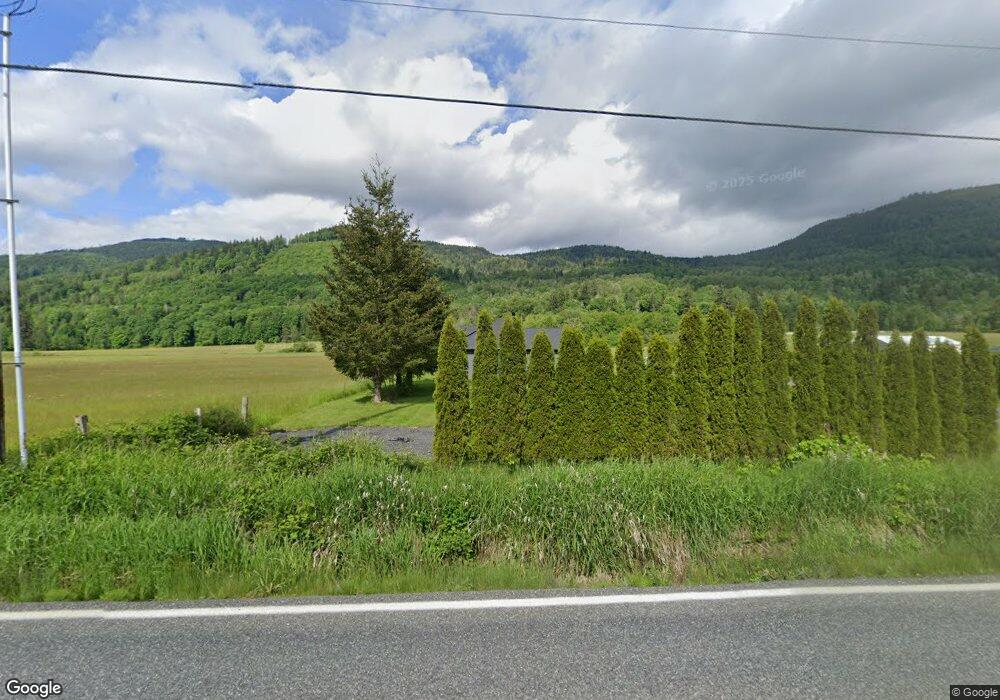
6304 Mt Baker Hwy Deming, WA 98244
Estimated Value: $621,000 - $856,000
3
Beds
2
Baths
1,874
Sq Ft
$399/Sq Ft
Est. Value
About This Home
This home is located at 6304 Mt Baker Hwy, Deming, WA 98244 and is currently estimated at $748,344, approximately $399 per square foot. 6304 Mt Baker Hwy is a home with nearby schools including Mount Baker Senior High School.
Ownership History
Date
Name
Owned For
Owner Type
Purchase Details
Closed on
Sep 17, 2018
Sold by
Lenssen Ryan and Lenssen Wendy
Bought by
Monaghan Carsen
Current Estimated Value
Home Financials for this Owner
Home Financials are based on the most recent Mortgage that was taken out on this home.
Original Mortgage
$368,000
Interest Rate
4.5%
Mortgage Type
New Conventional
Purchase Details
Closed on
Oct 13, 2014
Sold by
Corcoran Jase C and Corcoran Monica R
Bought by
Hamilton Dean and Hamilton De Etta
Purchase Details
Closed on
Nov 10, 2009
Sold by
Hamilton Dean and Hamilton De Etta
Bought by
Corcoran Jase C and Corcoran Monica R
Home Financials for this Owner
Home Financials are based on the most recent Mortgage that was taken out on this home.
Original Mortgage
$135,000
Interest Rate
4.92%
Mortgage Type
Purchase Money Mortgage
Create a Home Valuation Report for This Property
The Home Valuation Report is an in-depth analysis detailing your home's value as well as a comparison with similar homes in the area
Home Values in the Area
Average Home Value in this Area
Purchase History
| Date | Buyer | Sale Price | Title Company |
|---|---|---|---|
| Monaghan Carsen | -- | Whatcom Land Title | |
| Hamilton Dean | $190,478 | None Available | |
| Corcoran Jase C | $175,280 | Whatcom Land Title |
Source: Public Records
Mortgage History
| Date | Status | Borrower | Loan Amount |
|---|---|---|---|
| Closed | Monaghan Carsen | $368,000 | |
| Previous Owner | Corcoran Jase C | $135,000 |
Source: Public Records
Tax History Compared to Growth
Tax History
| Year | Tax Paid | Tax Assessment Tax Assessment Total Assessment is a certain percentage of the fair market value that is determined by local assessors to be the total taxable value of land and additions on the property. | Land | Improvement |
|---|---|---|---|---|
| 2024 | $5,410 | $669,874 | $227,028 | $442,846 |
| 2023 | $5,410 | $739,869 | $277,818 | $462,051 |
| 2022 | $4,421 | $606,436 | $227,715 | $378,721 |
| 2021 | $4,187 | $489,056 | $183,639 | $305,417 |
| 2020 | $3,851 | $414,453 | $155,626 | $258,827 |
| 2019 | $1,441 | $365,164 | $137,118 | $228,046 |
| 2018 | $2,201 | $146,367 | $132,200 | $14,167 |
| 2017 | $1,825 | $176,004 | $153,941 | $22,063 |
| 2016 | $1,837 | $155,835 | $135,861 | $19,974 |
| 2015 | $1,754 | $155,835 | $135,861 | $19,974 |
| 2014 | -- | $149,613 | $130,436 | $19,177 |
| 2013 | -- | $148,132 | $129,145 | $18,987 |
Source: Public Records
Map
Nearby Homes
- 6373 Eastwood Rd
- 6483 Mt Baker Hwy
- 6479 Little Big Horn Rd
- 7911 Oregon Trail
- 7900 Oregon Trail
- 7933 Oregon Trail
- 7952 Apache Dr
- 7945 Santa fe Trail
- 118 5 Big River Blvd W
- 6426 Santa fe Trail
- 134 5 W Big River Blvd
- 11 5 Big River Blvd SW
- 642 Sprague Valley Dr
- 169 1 Fireside Lodge Cir
- 6284 Lariat Place
- 172 Sprague Valley Dr
- 190 1 Fireside Lodge Cir
- 8095 Mosey Ct
- 187 Fireside Lodge Cir
- 6331 Overland Trail
- 6306 Mt Baker Hwy
- 6288 Mt Baker Hwy
- 6289 Mt Baker Hwy
- 6322 Mt Baker Hwy
- 6281 Mt Baker Hwy
- 6272 Mt Baker Hwy
- 6328 Mt Baker Hwy
- 6334 Mt Baker Hwy
- 6330 Mt Baker Hwy
- 6354 Mt Baker Hwy
- 6336 Mount Baker Hwy
- 6332 Mount Baker Hwy
- 6269 Mt Baker Hwy
- 7082 Wa-542
- 6267 Mt Baker Hwy
- 6338 Mt Baker Hwy
- 7067 Hatchery Rd
- 6359 Mt Baker Hwy
- 6800 Mount Baker Hwy
- 7051 Hatchery Rd