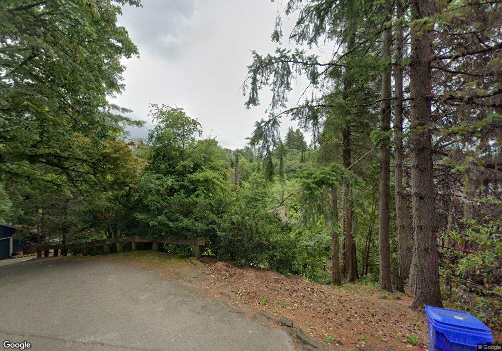
6304 SW Barnes Rd Portland, OR 97221
Sylvan-Highlands NeighborhoodEstimated Value: $954,000 - $1,050,000
3
Beds
3
Baths
3,120
Sq Ft
$325/Sq Ft
Est. Value
About This Home
This home is located at 6304 SW Barnes Rd, Portland, OR 97221 and is currently estimated at $1,012,459, approximately $324 per square foot. 6304 SW Barnes Rd is a home located in Multnomah County with nearby schools including Bridlemile Elementary School, West Sylvan Middle School, and Lincoln High School.
Ownership History
Date
Name
Owned For
Owner Type
Purchase Details
Closed on
Jul 9, 2013
Sold by
Tannenbaum Michael A
Bought by
Worobets Jay T and Worobets Marie L
Current Estimated Value
Home Financials for this Owner
Home Financials are based on the most recent Mortgage that was taken out on this home.
Original Mortgage
$80,700
Outstanding Balance
$39,173
Interest Rate
3.88%
Mortgage Type
Credit Line Revolving
Estimated Equity
$973,286
Purchase Details
Closed on
Mar 25, 2010
Sold by
Michael A Tannenbaum Trust
Bought by
Michael A Tannenbaum Trust
Home Financials for this Owner
Home Financials are based on the most recent Mortgage that was taken out on this home.
Original Mortgage
$319,326
Interest Rate
4.25%
Mortgage Type
New Conventional
Create a Home Valuation Report for This Property
The Home Valuation Report is an in-depth analysis detailing your home's value as well as a comparison with similar homes in the area
Home Values in the Area
Average Home Value in this Area
Purchase History
| Date | Buyer | Sale Price | Title Company |
|---|---|---|---|
| Worobets Jay T | $538,000 | Fatco | |
| Michael A Tannenbaum Trust | -- | Lsi North Recording Division |
Source: Public Records
Mortgage History
| Date | Status | Borrower | Loan Amount |
|---|---|---|---|
| Open | Worobets Jay T | $80,700 | |
| Open | Worobets Jay T | $403,500 | |
| Previous Owner | Michael A Tannenbaum Trust | $319,326 |
Source: Public Records
Tax History Compared to Growth
Tax History
| Year | Tax Paid | Tax Assessment Tax Assessment Total Assessment is a certain percentage of the fair market value that is determined by local assessors to be the total taxable value of land and additions on the property. | Land | Improvement |
|---|---|---|---|---|
| 2024 | $9,842 | $499,380 | -- | -- |
| 2023 | $9,583 | $484,840 | $0 | $0 |
| 2022 | $9,284 | $470,720 | $0 | $0 |
| 2021 | $9,032 | $457,010 | $0 | $0 |
| 2020 | $8,551 | $443,700 | $0 | $0 |
| 2019 | $8,314 | $430,780 | $0 | $0 |
| 2018 | $8,029 | $418,240 | $0 | $0 |
| 2017 | $7,696 | $406,060 | $0 | $0 |
| 2016 | $6,787 | $394,240 | $0 | $0 |
| 2015 | $6,450 | $382,760 | $0 | $0 |
| 2014 | $6,336 | $371,620 | $0 | $0 |
Source: Public Records
Map
Nearby Homes
- 6438 SW Barnes Rd
- 6103 SW Salmon St
- 6605 W Burnside St Unit 131
- 6605 W Burnside Rd Unit 152
- 6625 W Burnside St Unit 242
- 6625 W Burnside Rd Unit 252
- 6625 W Burnside Rd Unit 231
- 6625 W Burnside St Unit 211
- 5912 SW Yamhill St
- 6685 W Burnside Rd Unit 310
- 6685 W Burnside St Unit 324
- 6685 W Burnside St Unit 350
- 6685 W Burnside St Unit 343
- 6151 SW Mill St
- 6665 W Burnside Rd Unit 438
- 6665 W Burnside Rd Unit 410
- 6665 W Burnside Rd Unit 447
- 6645 W Burnside Rd Unit 551
- 6645 W Burnside Rd Unit 515
- 6645 W Burnside Rd Unit 550
- 6312 SW Barnes Rd
- 6308 SW Barnes Rd
- 6252 SW Barnes Rd
- 6238 SW Barnes Rd
- 6224 SW Barnes Rd
- 6414 SW Barnes Rd
- 1149 SW 61st Dr
- 6426 SW Barnes Rd
- 909 SW 61st Dr
- 925 SW 61st Dr
- 6222 SW Barnes Rd
- 6442 SW Barnes Rd
- 1153 SW 61st Dr
- 6454 SW Barnes Rd
- 6148 SW Barnes Rd
- 6466 SW Barnes Rd
- 6500 SW Barnes Rd Unit 7
- 1102 SW 61st Dr
- 6516 SW Barnes-No Calls Rd
- 6516 SW Barnes Rd Unit 15
