6305 Lone Peak Dr Evergreen, CO 80439
North Turkey Creek NeighborhoodEstimated Value: $2,137,112 - $3,076,000
4
Beds
9
Baths
4,470
Sq Ft
$592/Sq Ft
Est. Value
About This Home
This home is located at 6305 Lone Peak Dr, Evergreen, CO 80439 and is currently estimated at $2,648,371, approximately $592 per square foot. 6305 Lone Peak Dr is a home located in Jefferson County with nearby schools including Marshdale Elementary School, West Jefferson Middle School, and Conifer Senior High School.
Ownership History
Date
Name
Owned For
Owner Type
Purchase Details
Closed on
Jun 30, 2008
Sold by
Cage James R and Cage Karen H
Bought by
Cage James R and Cage Karen H
Current Estimated Value
Purchase Details
Closed on
Jun 15, 1999
Sold by
Andrew Wildenberg and Wildenberg Jill K
Bought by
Cage James R and Cage Karen H
Home Financials for this Owner
Home Financials are based on the most recent Mortgage that was taken out on this home.
Original Mortgage
$385,000
Outstanding Balance
$99,865
Interest Rate
6.85%
Estimated Equity
$2,548,506
Create a Home Valuation Report for This Property
The Home Valuation Report is an in-depth analysis detailing your home's value as well as a comparison with similar homes in the area
Home Values in the Area
Average Home Value in this Area
Purchase History
| Date | Buyer | Sale Price | Title Company |
|---|---|---|---|
| Cage James R | -- | None Available | |
| Cage James R | $780,000 | North American Title Co |
Source: Public Records
Mortgage History
| Date | Status | Borrower | Loan Amount |
|---|---|---|---|
| Open | Cage James R | $385,000 | |
| Closed | Cage James R | $75,000 |
Source: Public Records
Tax History Compared to Growth
Tax History
| Year | Tax Paid | Tax Assessment Tax Assessment Total Assessment is a certain percentage of the fair market value that is determined by local assessors to be the total taxable value of land and additions on the property. | Land | Improvement |
|---|---|---|---|---|
| 2024 | $10,459 | $120,745 | $59,426 | $61,319 |
| 2023 | $10,459 | $120,745 | $59,426 | $61,319 |
| 2022 | $7,227 | $83,445 | $36,194 | $47,251 |
| 2021 | $7,301 | $85,846 | $37,235 | $48,611 |
| 2020 | $6,167 | $73,105 | $31,081 | $42,024 |
| 2019 | $6,081 | $73,105 | $31,081 | $42,024 |
| 2018 | $5,693 | $66,927 | $28,806 | $38,121 |
| 2017 | $5,184 | $66,927 | $28,806 | $38,121 |
| 2016 | $5,357 | $65,645 | $24,619 | $41,026 |
| 2015 | $6,170 | $65,645 | $24,619 | $41,026 |
| 2014 | $6,170 | $64,458 | $27,317 | $37,141 |
Source: Public Records
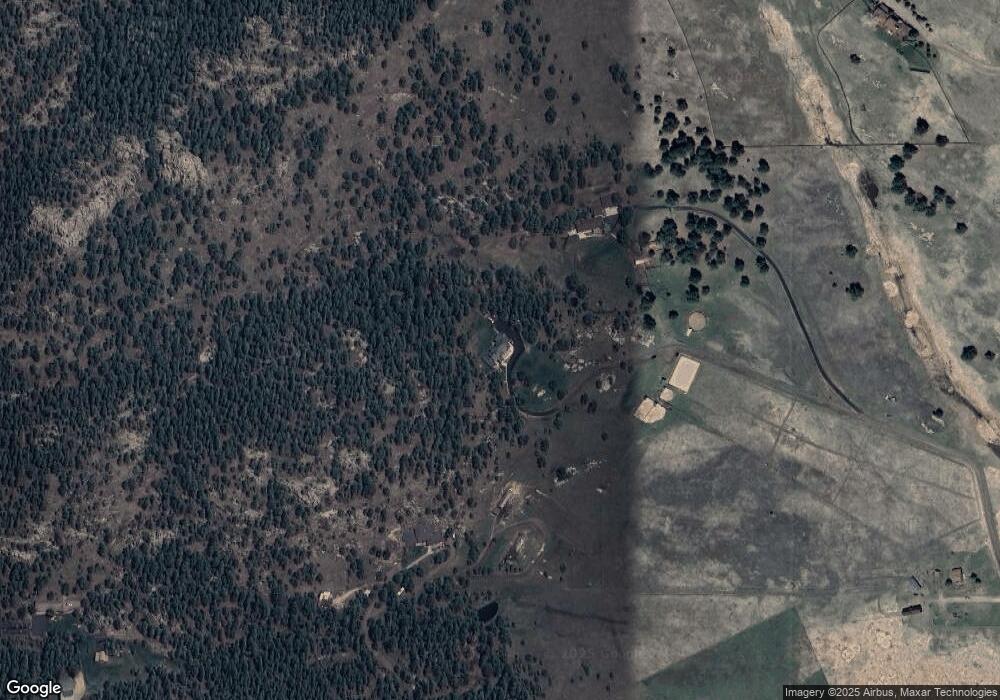
Map
Nearby Homes
- 6519 Jungfrau Way
- 5939 Lone Peak Dr
- 5825 High Dr
- 5720 Northwood Dr
- 7082 Silverhorn Dr
- 6860 Kilimanjaro Dr
- 25925 Lost Cabin Trail Unit 39-43
- 6880 Kilimanjaro Dr
- 25187 Stanley Park Rd
- 6684 Olympus Dr
- 6187 Stone Creek Dr
- 7033 Silverhorn Dr
- 5886 High Dr
- 6371 Canyon Creek Rd Unit 12
- 25728 Stanley Park Rd
- 5525 S Twin Spruce Dr
- 26130 Edelweiss Cir
- 6827 Timbers Dr
- 5237 Bear Mountain Dr
- 5236 Bear Mountain Dr
- 6299 Lone Peak Dr
- 6315 Kenya Dr
- 6525 Jungfrau Way
- 6309 Lone Peak Dr
- 6335 Kenya Dr
- 5909 Lone Peak Dr
- 6220 Kilimanjaro Dr
- 6345 Kenya Dr
- 6516 Vesuvius Rd
- 6355 Kenya Dr
- 6527 Jungfrau Way
- 5948 Lone Peak Dr
- 6506 Vesuvius Rd
- 6058 Lone Peak Dr
- 6374 Kenya Dr
- 5898 Lone Peak Dr
- 6539 Jungfrau Way
- 6529 Jungfrau Way
- 6098 Lone Peak Dr
- 5858 Lone Peak Dr