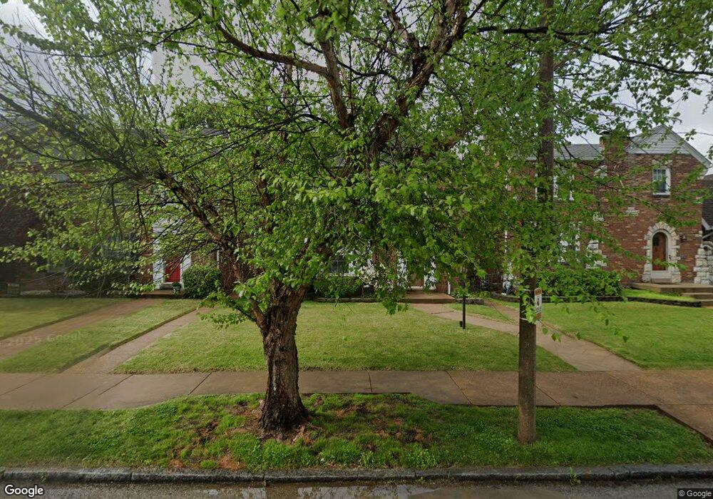
6306 Pernod Ave Saint Louis, MO 63139
Lindenwood Park NeighborhoodEstimated Value: $372,000 - $388,000
3
Beds
2
Baths
1,829
Sq Ft
$209/Sq Ft
Est. Value
About This Home
This home is located at 6306 Pernod Ave, Saint Louis, MO 63139 and is currently estimated at $382,526, approximately $209 per square foot. 6306 Pernod Ave is a home located in St. Louis City with nearby schools including Mason Elementary School, Long International Middle School, and Roosevelt High School.
Ownership History
Date
Name
Owned For
Owner Type
Purchase Details
Closed on
Apr 21, 2022
Sold by
David Lucash Frank
Bought by
Lucash Frank David and Lucash Jennifer Lynn
Current Estimated Value
Purchase Details
Closed on
Nov 1, 2011
Sold by
Swaykus David and Swaykus Lynn
Bought by
Lucash Frank David and Callahan Jennifer Lynn
Home Financials for this Owner
Home Financials are based on the most recent Mortgage that was taken out on this home.
Original Mortgage
$202,432
Interest Rate
4.14%
Mortgage Type
New Conventional
Purchase Details
Closed on
Mar 2, 2009
Sold by
Swaykus David P and Ziegler Lynn D
Bought by
Swaykus David P and Swaykus Lynn Z
Home Financials for this Owner
Home Financials are based on the most recent Mortgage that was taken out on this home.
Original Mortgage
$189,044
Interest Rate
5.13%
Mortgage Type
Stand Alone Refi Refinance Of Original Loan
Purchase Details
Closed on
May 8, 2006
Sold by
Eisenberg Ronald J and Deora Aparna
Bought by
Swaykus David P and Siegler Lynn D
Home Financials for this Owner
Home Financials are based on the most recent Mortgage that was taken out on this home.
Original Mortgage
$191,200
Interest Rate
6.5%
Mortgage Type
Fannie Mae Freddie Mac
Purchase Details
Closed on
Jun 21, 2001
Sold by
Huebert Raymond
Bought by
Eisenberg Ronald J and Deora Aparna
Home Financials for this Owner
Home Financials are based on the most recent Mortgage that was taken out on this home.
Original Mortgage
$132,000
Interest Rate
7.11%
Mortgage Type
Purchase Money Mortgage
Purchase Details
Closed on
Aug 25, 1999
Sold by
Efthim Janet R
Bought by
Huebert Raymond and Totta Carrie A
Home Financials for this Owner
Home Financials are based on the most recent Mortgage that was taken out on this home.
Original Mortgage
$152,500
Interest Rate
7.75%
Mortgage Type
Purchase Money Mortgage
Create a Home Valuation Report for This Property
The Home Valuation Report is an in-depth analysis detailing your home's value as well as a comparison with similar homes in the area
Home Values in the Area
Average Home Value in this Area
Purchase History
| Date | Buyer | Sale Price | Title Company |
|---|---|---|---|
| Lucash Frank David | -- | None Listed On Document | |
| Lucash Frank David | -- | None Listed On Document | |
| Lucash Frank David | -- | Freedom Title Llc | |
| Swaykus David P | -- | None Available | |
| Swaykus David P | -- | None Available | |
| Eisenberg Ronald J | -- | -- | |
| Huebert Raymond | -- | -- |
Source: Public Records
Mortgage History
| Date | Status | Borrower | Loan Amount |
|---|---|---|---|
| Previous Owner | Lucash Frank David | $202,432 | |
| Previous Owner | Swaykus David P | $189,044 | |
| Previous Owner | Swaykus David P | $191,200 | |
| Previous Owner | Eisenberg Ronald J | $132,000 | |
| Previous Owner | Huebert Raymond | $152,500 |
Source: Public Records
Tax History Compared to Growth
Tax History
| Year | Tax Paid | Tax Assessment Tax Assessment Total Assessment is a certain percentage of the fair market value that is determined by local assessors to be the total taxable value of land and additions on the property. | Land | Improvement |
|---|---|---|---|---|
| 2025 | $4,280 | $60,280 | $3,330 | $56,950 |
| 2024 | $4,071 | $50,790 | $3,330 | $47,460 |
| 2023 | $4,071 | $50,790 | $3,330 | $47,460 |
| 2022 | $3,935 | $47,270 | $3,330 | $43,940 |
| 2021 | $3,930 | $47,270 | $3,330 | $43,940 |
| 2020 | $3,573 | $43,280 | $3,330 | $39,950 |
| 2019 | $3,560 | $43,290 | $3,330 | $39,960 |
| 2018 | $3,527 | $41,550 | $3,000 | $38,550 |
| 2017 | $3,467 | $41,550 | $3,000 | $38,550 |
| 2016 | $3,086 | $36,480 | $3,000 | $33,480 |
| 2015 | $2,797 | $36,480 | $3,000 | $33,480 |
| 2014 | $2,652 | $36,480 | $3,000 | $33,480 |
| 2013 | -- | $34,600 | $3,000 | $31,600 |
Source: Public Records
Map
Nearby Homes
- 6214 Oleatha Ave
- 6041 Tholozan Ave
- 3807 Tamm Ave
- 6439 Mardel Ave
- 3905 Tamm Ave
- 6517 Tholozan Ave
- 6325 Marquette Ave
- 6339 Marquette Ave
- 6411 Hancock Ave
- 6541 Lindenwood Place
- 6437 Hancock Ave
- 6562 Oleatha Ave
- 5743 Mardel Ave
- 5736 Lindenwood Ave
- 6300 Fyler Ave
- 6409 Sutherland Ave
- 5716 Pernod Ave
- 6611 Pernod Ave
- 6621 Tholozan Ave
- 5701 Pernod Ave
- 6310 Pernod Ave
- 6300 Pernod Ave
- 6316 Pernod Ave
- 6228 Pernod Ave
- 6226 Pernod Ave
- 6322 Pernod Ave
- 6305 Tholozan Ave
- 6309 Tholozan Ave
- 6301 Tholozan Ave
- 6222 Pernod Ave
- 6311 Tholozan Ave
- 6229 Tholozan Ave
- 6315 Tholozan Ave
- 6227 Tholozan Ave
- 6326 Pernod Ave
- 6305 Pernod Ave
- 6319 Tholozan Ave
- 6309 Pernod Ave
- 6301 Pernod Ave
- 6313 Pernod Ave