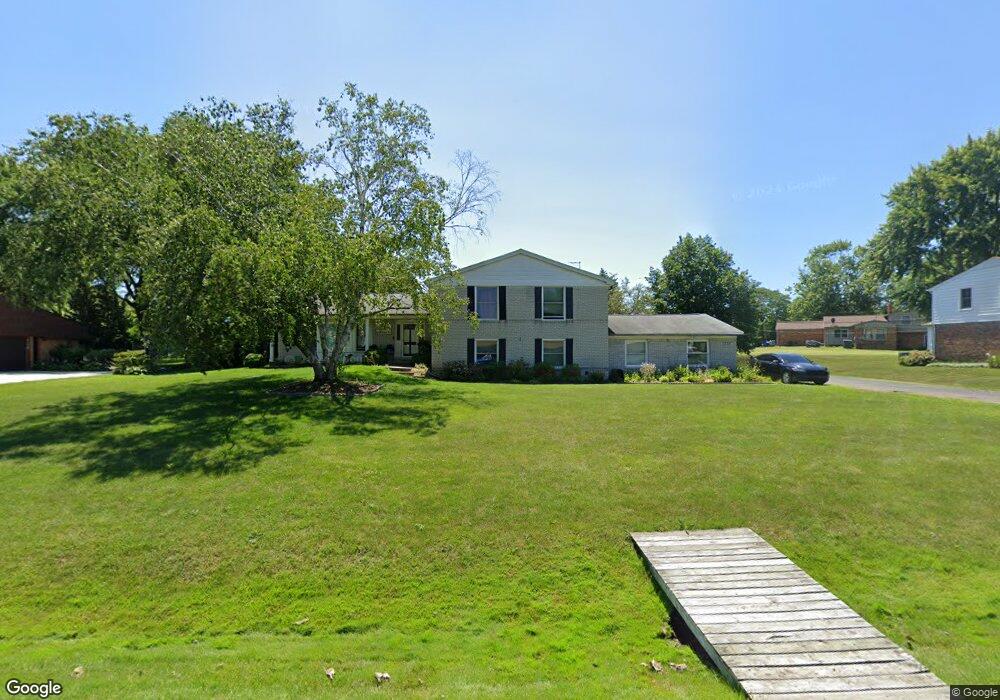
6306 Tamerlane Dr West Bloomfield, MI 48322
Estimated Value: $503,000 - $565,000
4
Beds
3
Baths
2,686
Sq Ft
$198/Sq Ft
Est. Value
About This Home
This home is located at 6306 Tamerlane Dr, West Bloomfield, MI 48322 and is currently estimated at $532,291, approximately $198 per square foot. 6306 Tamerlane Dr is a home located in Oakland County with nearby schools including Sheiko Elementary School, West Bloomfield Middle School, and Bloomfield Maples Montessori.
Ownership History
Date
Name
Owned For
Owner Type
Purchase Details
Closed on
Nov 18, 2010
Sold by
Davidson Florence G
Bought by
Clark Terry B and Root Clark Edith S
Current Estimated Value
Home Financials for this Owner
Home Financials are based on the most recent Mortgage that was taken out on this home.
Original Mortgage
$167,741
Outstanding Balance
$110,108
Interest Rate
4.17%
Mortgage Type
FHA
Estimated Equity
$422,183
Purchase Details
Closed on
Mar 30, 2010
Sold by
Davidson Florence G and Davidson Paul M
Bought by
Davidson Florence G and Florence G Davidson Revocable
Create a Home Valuation Report for This Property
The Home Valuation Report is an in-depth analysis detailing your home's value as well as a comparison with similar homes in the area
Home Values in the Area
Average Home Value in this Area
Purchase History
| Date | Buyer | Sale Price | Title Company |
|---|---|---|---|
| Clark Terry B | $170,000 | Complete Title Services Of S | |
| Davidson Florence G | -- | Complete Title Services Of S | |
| Davidson Florence G | -- | None Available |
Source: Public Records
Mortgage History
| Date | Status | Borrower | Loan Amount |
|---|---|---|---|
| Open | Clark Terry B | $167,741 |
Source: Public Records
Tax History Compared to Growth
Tax History
| Year | Tax Paid | Tax Assessment Tax Assessment Total Assessment is a certain percentage of the fair market value that is determined by local assessors to be the total taxable value of land and additions on the property. | Land | Improvement |
|---|---|---|---|---|
| 2024 | $3,305 | $239,640 | $0 | $0 |
| 2022 | $3,164 | $213,270 | $33,550 | $179,720 |
| 2021 | $4,809 | $209,330 | $0 | $0 |
| 2020 | $3,101 | $202,180 | $33,550 | $168,630 |
| 2018 | $4,636 | $173,290 | $28,900 | $144,390 |
| 2015 | -- | $136,230 | $0 | $0 |
| 2014 | -- | $121,780 | $0 | $0 |
| 2011 | -- | $113,760 | $0 | $0 |
Source: Public Records
Map
Nearby Homes
- 6151 Orchard Lake Rd Unit 103
- 6624 Mellow Wood Ln
- 6145 Orchard Lake Rd Unit 204
- 6109 Orchard Lake Rd Unit 101
- 6322 Pepper Hill St Unit 62
- 6222 Pepper Hill St
- 6769 Heather Heath
- 6843 Leslee Crest Dr
- 4161 Breckenridge Dr
- 3865 Stonecrest Rd
- 5780 Swan Lake Ct
- 6564 Alderley Way
- 7027 Beverly Crest Dr
- 7023 Wild Ridge Ln
- 5946 Cherry Crest Dr
- 6651 Hearthside Ct Unit 1
- 3035 Parkland Dr
- 6614 Embers Ct
- 6621 Bellows Ct Unit 62
- 6545 Post Oak Dr
- 6330 Tamerlane Dr
- 6280 Tamerlane Dr
- 6291 Buxton Dr
- 6265 Buxton Dr Unit Bldg-Unit
- 6265 Buxton Dr
- 6303 Tamerlane Dr
- 6358 Tamerlane Dr
- 6327 Tamerlane Dr
- 6331 Buxton Dr
- 6277 Tamerlane Dr
- 6367 Buxton Ct
- 6239 Buxton Dr
- 6351 Tamerlane Dr
- 6251 Tamerlane Dr
- 6380 Tamerlane Dr
- 6359 Buxton Ct
- 6206 Wellesley Dr
- 6284 Buxton Dr
- 6375 Tamerlane Dr
- 6258 Buxton Dr