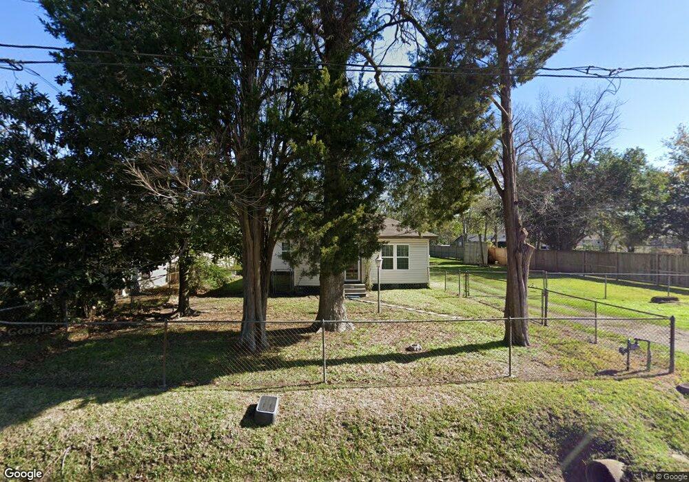
6308 Wileyvale Rd Houston, TX 77028
Trinity-Houston Gardens NeighborhoodEstimated Value: $148,736 - $193,000
3
Beds
1
Bath
1,218
Sq Ft
$148/Sq Ft
Est. Value
About This Home
This home is located at 6308 Wileyvale Rd, Houston, TX 77028 and is currently estimated at $179,934, approximately $147 per square foot. 6308 Wileyvale Rd is a home located in Harris County with nearby schools including Felix Cook Jr. Elementary School, Key Middle, and Kashmere High School.
Ownership History
Date
Name
Owned For
Owner Type
Purchase Details
Closed on
Sep 5, 2008
Sold by
Thomas Calvin B
Bought by
Banks Ruby L
Current Estimated Value
Purchase Details
Closed on
Aug 28, 2008
Sold by
Thomas Michael E
Bought by
Banks Ruby L
Purchase Details
Closed on
Jun 2, 2002
Sold by
Duncan Bernetta A
Bought by
Banks Ruby L
Purchase Details
Closed on
May 24, 2002
Sold by
Andrews Bernard L
Bought by
Banks Ruby L
Purchase Details
Closed on
May 17, 2002
Sold by
Parham Ruth E
Bought by
Banks Ruby L
Create a Home Valuation Report for This Property
The Home Valuation Report is an in-depth analysis detailing your home's value as well as a comparison with similar homes in the area
Home Values in the Area
Average Home Value in this Area
Purchase History
| Date | Buyer | Sale Price | Title Company |
|---|---|---|---|
| Banks Ruby L | -- | None Available | |
| Banks Ruby L | -- | None Available | |
| Banks Ruby L | -- | -- | |
| Banks Ruby L | -- | -- | |
| Banks Ruby L | -- | -- | |
| Banks Ruby L | -- | -- |
Source: Public Records
Tax History Compared to Growth
Tax History
| Year | Tax Paid | Tax Assessment Tax Assessment Total Assessment is a certain percentage of the fair market value that is determined by local assessors to be the total taxable value of land and additions on the property. | Land | Improvement |
|---|---|---|---|---|
| 2025 | $1,456 | $134,243 | $73,728 | $60,515 |
| 2024 | $1,456 | $125,425 | $73,728 | $51,697 |
| 2023 | $1,456 | $119,071 | $73,728 | $45,343 |
| 2022 | $1,447 | $94,761 | $58,982 | $35,779 |
| 2021 | $1,392 | $78,739 | $36,864 | $41,875 |
| 2020 | $1,315 | $65,209 | $29,491 | $35,718 |
| 2019 | $1,249 | $51,946 | $19,906 | $32,040 |
| 2018 | $0 | $44,880 | $16,220 | $28,660 |
| 2017 | $1,135 | $44,880 | $16,220 | $28,660 |
| 2016 | $1,069 | $42,288 | $16,220 | $26,068 |
| 2015 | $31 | $40,870 | $16,220 | $24,650 |
| 2014 | $31 | $40,870 | $16,220 | $24,650 |
Source: Public Records
Map
Nearby Homes
- 5017 Baton Rouge St
- 6309 Sandra St
- 6307 Sandra St
- 6305 Sandra St Unit A/B
- 6605 Lockwood Dr
- 5317 Caplin St
- 0 Lynnfield St
- 00 Lynnfield St
- 0 Sandra Unit 10021624
- 6713 Shotwell St
- 6102 Shotwell St
- 6112 Shotwell St
- 6221 Lavender St
- 4843 Shreveport Blvd
- 4807 Shreveport Blvd
- 4811 Shreveport Blvd
- 5420 Lynnfield St Unit A/B
- 6520 Hoffman St
- 4605 Baton Rouge St
- 6713 Hoffman St
- 5111 Baton Rouge St
- 6314 Wileyvale Rd
- 6318 Wileyvale Rd
- 5102 Baton Rouge St
- 6309 Wileyvale Rd
- 6215 Peachtree St
- 6213 Peachtree St
- 6311 Wileyvale Rd
- 6217 Peachtree St
- 6211 Peachtree St
- 6322 Wileyvale Rd
- 5024 Baton Rouge St
- 5108 Baton Rouge St
- 5020 Baton Rouge St
- 6207 Peachtree St
- 6317 Wileyvale Rd
- 6317 Peachtree St
- 5016 Baton Rouge St
- 6319 Peachtree St
- 5116 Baton Rouge St