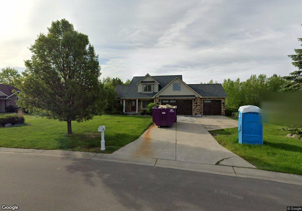
6309 Boulder Dr Flushing, MI 48433
Estimated Value: $312,838 - $376,000
Studio
1
Bath
1,999
Sq Ft
$175/Sq Ft
Est. Value
About This Home
This home is located at 6309 Boulder Dr, Flushing, MI 48433 and is currently estimated at $349,460, approximately $174 per square foot. 6309 Boulder Dr is a home located in Genesee County with nearby schools including Springview Elementary School, Flushing Middle School, and Flushing High School.
Ownership History
Date
Name
Owned For
Owner Type
Purchase Details
Closed on
Dec 21, 2004
Sold by
Riske Custom Homes Inc
Bought by
Cullen Ken and Cullen Sara
Current Estimated Value
Home Financials for this Owner
Home Financials are based on the most recent Mortgage that was taken out on this home.
Original Mortgage
$263,055
Outstanding Balance
$150,970
Interest Rate
7.99%
Mortgage Type
Purchase Money Mortgage
Estimated Equity
$198,490
Create a Home Valuation Report for This Property
The Home Valuation Report is an in-depth analysis detailing your home's value as well as a comparison with similar homes in the area
Home Values in the Area
Average Home Value in this Area
Purchase History
| Date | Buyer | Sale Price | Title Company |
|---|---|---|---|
| Cullen Ken | $276,900 | Cislo Title Company | |
| Flagstone Pointe Lp | -- | Cislo Title Company |
Source: Public Records
Mortgage History
| Date | Status | Borrower | Loan Amount |
|---|---|---|---|
| Open | Cullen Ken | $263,055 |
Source: Public Records
Tax History
| Year | Tax Paid | Tax Assessment Tax Assessment Total Assessment is a certain percentage of the fair market value that is determined by local assessors to be the total taxable value of land and additions on the property. | Land | Improvement |
|---|---|---|---|---|
| 2025 | $5,782 | $165,900 | $0 | $0 |
| 2024 | $3,098 | $178,200 | $0 | $0 |
| 2023 | $2,326 | $166,700 | $0 | $0 |
| 2022 | $1,931 | $140,900 | $0 | $0 |
| 2021 | $4,083 | $134,800 | $0 | $0 |
| 2020 | $2,180 | $134,800 | $0 | $0 |
| 2019 | $2,158 | $124,700 | $0 | $0 |
| 2018 | $3,800 | $111,500 | $0 | $0 |
| 2017 | $3,527 | $111,500 | $0 | $0 |
| 2016 | $3,546 | $109,400 | $0 | $0 |
| 2015 | $3,343 | $105,200 | $0 | $0 |
| 2014 | $1,899 | $100,300 | $0 | $0 |
| 2012 | -- | $83,400 | $83,400 | $0 |
Source: Public Records
Map
Nearby Homes
- 6273 Boulder Dr
- 6268 Boulder Dr
- 2365 Flagstone Dr
- 74 Emeraldwood Trail
- 60 Emeraldwood Trail
- 00 Emeraldwood Trail
- 0 Stonebrook Ln
- 6551 River Rd
- 6565 River Rd
- 2291 Woods Dr W
- 6318 Laurentian Ct Unit Building 9 APT 42
- 6300 Laurentian Ct
- 6302 Laurentian Ct
- 7105 Woods Dr W
- 6440 Western Way
- 7095 Woods West Dr Unit 4
- 5442 Meadow Creek Ct
- 5411 River Meadow Blvd
- Covered Wagons Trail Covered Wagons Trail
- 1321 Highland Meadows
- 6297 Boulder Dr
- 6321 Boulder Dr
- 2254 Stonefield Ct
- 6285 Boulder Dr
- 6314 Boulder Dr
- 6292 Boulder Dr
- 2246 Stonefield Ct
- 6261 Boulder Dr
- 6280 Boulder Dr
- 2265 Stonefield Ct
- 2281 Stonefield
- 2281 Stone Field Dr
- 2249 Stonefield Ct
- 2257 Stonefield Ct
- 6249 Boulder Dr
- 2310 Stonefield Dr
- 2289 Stonefield Dr
- 6355 Boulder Dr
- 6362 Boulder Dr
- 6254 Boulder Dr
Your Personal Tour Guide
Ask me questions while you tour the home.