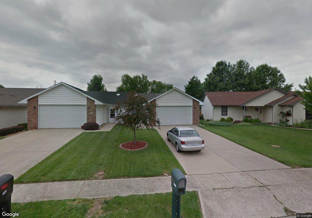
6309 Brent Dr Unit 1 Springfield, IL 62712
Estimated Value: $143,000 - $181,000
3
Beds
2
Baths
1,404
Sq Ft
$115/Sq Ft
Est. Value
About This Home
This home is located at 6309 Brent Dr Unit 1, Springfield, IL 62712 and is currently estimated at $161,492, approximately $115 per square foot. 6309 Brent Dr Unit 1 is a home located in Sangamon County with nearby schools including Glenwood Elementary School, Glenwood Intermediate School, and Glenwood Middle School.
Ownership History
Date
Name
Owned For
Owner Type
Purchase Details
Closed on
Aug 23, 2024
Sold by
Selinski Mary Ellen and Gardner Jennifer J
Bought by
Evans David and Evans Jilda
Current Estimated Value
Home Financials for this Owner
Home Financials are based on the most recent Mortgage that was taken out on this home.
Original Mortgage
$162,798
Interest Rate
8%
Mortgage Type
Construction
Purchase Details
Closed on
Apr 30, 2008
Purchase Details
Closed on
Oct 7, 2003
Create a Home Valuation Report for This Property
The Home Valuation Report is an in-depth analysis detailing your home's value as well as a comparison with similar homes in the area
Home Values in the Area
Average Home Value in this Area
Purchase History
| Date | Buyer | Sale Price | Title Company |
|---|---|---|---|
| Evans David | $140,000 | None Listed On Document | |
| -- | $107,000 | -- | |
| -- | $94,500 | -- |
Source: Public Records
Mortgage History
| Date | Status | Borrower | Loan Amount |
|---|---|---|---|
| Closed | Evans David | $162,798 |
Source: Public Records
Tax History Compared to Growth
Tax History
| Year | Tax Paid | Tax Assessment Tax Assessment Total Assessment is a certain percentage of the fair market value that is determined by local assessors to be the total taxable value of land and additions on the property. | Land | Improvement |
|---|---|---|---|---|
| 2024 | $2,820 | $49,254 | $6,209 | $43,045 |
| 2023 | $2,610 | $44,989 | $5,671 | $39,318 |
| 2022 | $2,450 | $42,337 | $5,378 | $36,959 |
| 2021 | $2,213 | $40,752 | $5,177 | $35,575 |
| 2020 | $2,199 | $40,813 | $5,185 | $35,628 |
| 2019 | $2,170 | $40,671 | $5,167 | $35,504 |
| 2018 | $2,135 | $39,540 | $5,142 | $34,398 |
| 2017 | $2,119 | $39,029 | $5,076 | $33,953 |
| 2016 | $2,072 | $38,460 | $5,002 | $33,458 |
| 2015 | $2,055 | $38,000 | $4,942 | $33,058 |
| 2014 | $1,974 | $37,755 | $4,910 | $32,845 |
| 2013 | $1,958 | $36,872 | $4,909 | $31,963 |
Source: Public Records
Map
Nearby Homes
- 0 Toronto Rd
- 6417 Winterberry Ln
- 23 Country Place
- 1 Roosevelt Rd
- 6200 Wind Tree Rd
- 6401 Raintree Place
- 42 N Cotton Hill Ln
- 2317 Mariners Point Ln
- 81 Island Bay Ln Unit 1
- 20 Lakewind Dr Unit 1
- 5 Timberline Dr
- 25 Forest Ridge Unit 1
- 2624 E Lake Shore Dr Unit 1
- 8033 Wilson Terrace
- 5600 Grissom Dr Unit 1
- 8117 Tack Ln
- 4149 Pickfair Rd
- 2004 Grants Pond
- 1901 Fieldstone Ct
- 116 Davinci Dr
- 6313 Brent Dr
- 6313 Brent Dr Unit 1
- 6305 Brent Dr
- 6317 Brent Dr
- 6333 Brent Dr
- 6311 Brent Dr
- 6315 Brent Dr
- 6303 Brent Dr
- 6327 Brent Dr
- 6331 Brent Dr
- 6312 Brent Dr
- 1108 Old Crows Way
- 6301 Brent Dr
- 6316 Brent Dr
- 6321 Brent Dr
- 1101 Old Crows Way
- 6320 Brent Dr
- 6325 Brent Dr
- 1105 Old Crows Way
- 6324 Brent Dr