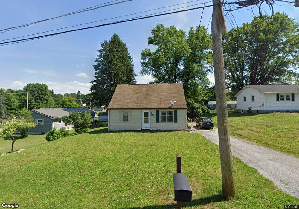
631 Cedar Rd Saint Marys, PA 15857
Estimated Value: $110,016 - $156,000
4
Beds
1
Bath
--
Sq Ft
0.26
Acres
About This Home
This home is located at 631 Cedar Rd, Saint Marys, PA 15857 and is currently estimated at $134,754. 631 Cedar Rd is a home located in Elk County with nearby schools including St. Marys Area Senior High School, St. Marys Catholic Elementary School, and Elk County Catholic School System.
Ownership History
Date
Name
Owned For
Owner Type
Purchase Details
Closed on
Jan 28, 2022
Sold by
Gross Velma and Gross Greg Valerie
Bought by
O'Connor Jonathan Daniel
Current Estimated Value
Create a Home Valuation Report for This Property
The Home Valuation Report is an in-depth analysis detailing your home's value as well as a comparison with similar homes in the area
Home Values in the Area
Average Home Value in this Area
Purchase History
| Date | Buyer | Sale Price | Title Company |
|---|---|---|---|
| O'Connor Jonathan Daniel | $70,000 | -- |
Source: Public Records
Tax History Compared to Growth
Tax History
| Year | Tax Paid | Tax Assessment Tax Assessment Total Assessment is a certain percentage of the fair market value that is determined by local assessors to be the total taxable value of land and additions on the property. | Land | Improvement |
|---|---|---|---|---|
| 2025 | $1,676 | $20,650 | $2,450 | $18,200 |
| 2024 | $1,676 | $20,650 | $2,450 | $18,200 |
| 2023 | $1,500 | $20,650 | $2,450 | $18,200 |
| 2022 | $1,469 | $20,650 | $2,450 | $18,200 |
| 2021 | $1,421 | $20,650 | $2,450 | $18,200 |
| 2020 | $1,421 | $20,650 | $2,450 | $18,200 |
| 2019 | $1,421 | $20,650 | $2,450 | $18,200 |
| 2018 | $1,400 | $20,650 | $2,450 | $18,200 |
| 2017 | $1,400 | $20,650 | $2,450 | $18,200 |
| 2016 | $1,353 | $20,650 | $2,450 | $18,200 |
| 2015 | -- | $20,650 | $2,450 | $18,200 |
| 2013 | -- | $20,650 | $2,450 | $18,200 |
Source: Public Records
Map
Nearby Homes
- 104 W Theresia Rd
- 226 E Arch St
- 165 Queens Rd
- 0 S Saint Marys St
- 104 Las Glorias Rd
- 422 Chestnut St
- 476 S Michael St
- 300 Ash St
- 0 Plymouth Rd
- 0 Plymouth Rd Unit 11 & 92 24-156
- 421 W Mill St
- 0 W Mill St
- 132 Poplar Rd
- 416 Center St
- 0 Ford Rd
- 633 Center St
- 327 Maurus St
- 643 Maurus St
- 301 N Michael St
- 203 Columbus St