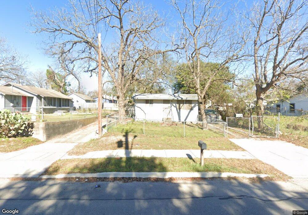
631 Hansford St San Antonio, TX 78210
Riverside NeighborhoodEstimated Value: $54,000 - $126,000
1
Bed
1
Bath
336
Sq Ft
$282/Sq Ft
Est. Value
About This Home
This home is located at 631 Hansford St, San Antonio, TX 78210 and is currently estimated at $94,725, approximately $281 per square foot. 631 Hansford St is a home located in Bexar County with nearby schools including Riverside Park Academy, Brackenridge High School, and Joel C. Harris Middle School.
Ownership History
Date
Name
Owned For
Owner Type
Purchase Details
Closed on
Jan 22, 2024
Sold by
Solis Robert S
Bought by
Deleon Irma Alicia
Current Estimated Value
Purchase Details
Closed on
Jan 19, 2024
Sold by
Poncio Escolastica
Bought by
Tober Solis Yolanda
Purchase Details
Closed on
Jan 17, 2024
Sold by
Tober Solis Yolanda
Bought by
Poncio Escolastica
Create a Home Valuation Report for This Property
The Home Valuation Report is an in-depth analysis detailing your home's value as well as a comparison with similar homes in the area
Home Values in the Area
Average Home Value in this Area
Purchase History
| Date | Buyer | Sale Price | Title Company |
|---|---|---|---|
| Deleon Irma Alicia | -- | None Listed On Document | |
| Tober Solis Yolanda | -- | None Listed On Document | |
| Poncio Escolastica | -- | None Listed On Document |
Source: Public Records
Tax History Compared to Growth
Tax History
| Year | Tax Paid | Tax Assessment Tax Assessment Total Assessment is a certain percentage of the fair market value that is determined by local assessors to be the total taxable value of land and additions on the property. | Land | Improvement |
|---|---|---|---|---|
| 2025 | $2,527 | $103,540 | $72,560 | $30,980 |
| 2024 | $2,527 | $103,540 | $72,560 | $30,980 |
| 2023 | $2,527 | $38,056 | $72,560 | $32,560 |
| 2022 | $937 | $34,596 | $57,600 | $31,140 |
| 2021 | $879 | $31,451 | $36,640 | $26,990 |
| 2020 | $810 | $28,592 | $36,640 | $23,400 |
| 2019 | $745 | $25,993 | $32,980 | $21,030 |
| 2018 | $671 | $23,630 | $29,310 | $17,640 |
| 2017 | $606 | $21,482 | $10,360 | $22,600 |
| 2016 | $551 | $19,529 | $7,200 | $20,940 |
| 2015 | $47 | $17,754 | $7,520 | $15,780 |
| 2014 | $47 | $16,140 | $0 | $0 |
Source: Public Records
Map
Nearby Homes
- 274 Weaver St
- 202 Benita St
- 246 Felisa St
- 414 Wharton St
- 116 Fairbanks Ave
- 211 Wharton St
- 231 Mcmullen St
- 410 Eads Ave
- 310 Uvalde St
- 811 Theo Pkwy
- 406 Mckinley Ave
- 4526 Sierra St
- 418 Mckinley Ave
- 138 Zapata St
- 955 Steves Ave
- 101 Glenwood Ct
- 1010 Steves Ave
- 125 Glenwood Ct
- 430 E Hart Ave
- 110 Zapata St