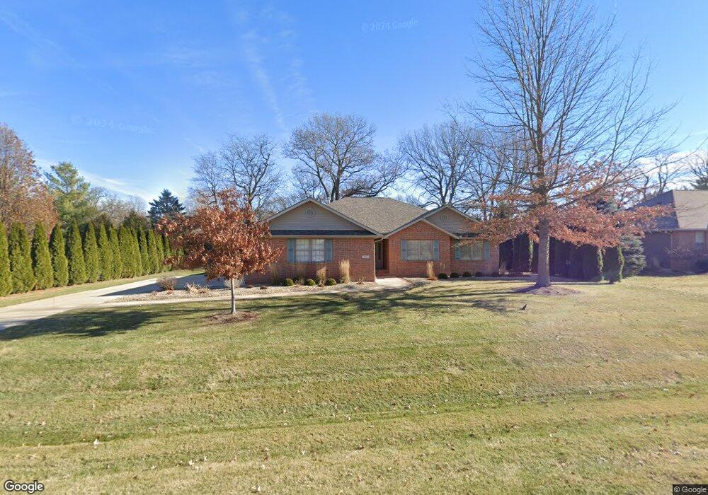
631 Honeygo Ln Princeton, IL 61356
Estimated Value: $288,000 - $341,288
4
Beds
3
Baths
1,937
Sq Ft
$159/Sq Ft
Est. Value
About This Home
This home is located at 631 Honeygo Ln, Princeton, IL 61356 and is currently estimated at $307,822, approximately $158 per square foot. 631 Honeygo Ln is a home located in Bureau County with nearby schools including Jefferson Elementary School, Lincoln Elementary School, and Logan Junior High School.
Ownership History
Date
Name
Owned For
Owner Type
Purchase Details
Closed on
Sep 18, 2013
Sold by
Davis Jacqueline
Bought by
Rayfield Donald R and Rayfield Susanne C
Current Estimated Value
Create a Home Valuation Report for This Property
The Home Valuation Report is an in-depth analysis detailing your home's value as well as a comparison with similar homes in the area
Home Values in the Area
Average Home Value in this Area
Purchase History
| Date | Buyer | Sale Price | Title Company |
|---|---|---|---|
| Rayfield Donald R | $225,000 | None Available |
Source: Public Records
Tax History Compared to Growth
Tax History
| Year | Tax Paid | Tax Assessment Tax Assessment Total Assessment is a certain percentage of the fair market value that is determined by local assessors to be the total taxable value of land and additions on the property. | Land | Improvement |
|---|---|---|---|---|
| 2024 | $6,708 | $97,148 | $22,687 | $74,461 |
| 2023 | $6,280 | $89,471 | $20,894 | $68,577 |
| 2022 | $6,280 | $83,884 | $19,589 | $64,295 |
| 2021 | $6,089 | $79,405 | $18,543 | $60,862 |
| 2020 | $5,863 | $76,498 | $17,864 | $58,634 |
| 2019 | $5,873 | $75,583 | $17,650 | $57,933 |
| 2018 | $5,747 | $74,290 | $17,348 | $56,942 |
| 2017 | $5,850 | $74,559 | $17,411 | $57,148 |
| 2016 | $5,682 | $72,613 | $16,957 | $55,656 |
| 2015 | -- | $54,683 | $0 | $54,683 |
| 2014 | -- | $71,344 | $16,661 | $54,683 |
| 2013 | -- | $71,731 | $16,751 | $54,980 |
Source: Public Records
Map
Nearby Homes
- 0 Park Ave W
- 1322 W Peru St
- 778 W Boyd Ave
- 236 Brandy Ave
- 103 S Plum St
- 411 W Peru St
- 127 N Beech St
- 1007 W Farnham St
- 221 W Peru St
- 9 S Randolph St
- 1203 W Clark St
- 702 W Hudson St
- 20 S Church St
- 1840 S Main St
- 311 W Franklin St
- 305 S Chestnut St
- 1428 S Church St
- 210 N Church St
- 1307 S Euclid Ave
- 443 E Peru St
- 1015 Honeygo Ln
- 637 Honeygo Ln
- 625 Honeygo Ln
- 624 Hidden Lake Dr
- 632 Hidden Lake Dr
- 616 Hidden Lake Dr
- 640 Hidden Lake Dr
- 608 Hidden Lake Dr
- 1010 Pheasant Ridge Ln
- 629 Hidden Lake Dr
- 209 Park Ave W
- 621 Hidden Lake Dr
- 1014 Winterwheat Ln
- 1011 Pheasant Ridge Ln
- 637 Hidden Lake Dr
- 613 Hidden Lake Dr
- 1008 Winterwheat Ln
- 1020 Winterwheat Ln
- 1015 Winterwheat Ln
- 540 Hidden Lake Dr