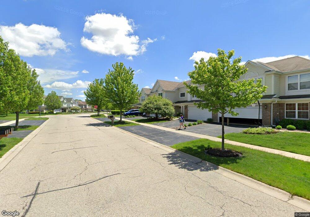
631 Lancaster Dr Pingree Grove, IL 60140
Estimated Value: $287,096 - $289,000
--
Bed
1
Bath
1,652
Sq Ft
$174/Sq Ft
Est. Value
About This Home
This home is located at 631 Lancaster Dr, Pingree Grove, IL 60140 and is currently estimated at $288,024, approximately $174 per square foot. 631 Lancaster Dr is a home located in Kane County with nearby schools including Hampshire Middle School, Hampshire High School, and Cambridge Lakes Charter School.
Ownership History
Date
Name
Owned For
Owner Type
Purchase Details
Closed on
Sep 6, 2006
Sold by
Drh Cambridge Homes Inc
Bought by
Heitman Steven D and Heitman Ursula V
Current Estimated Value
Home Financials for this Owner
Home Financials are based on the most recent Mortgage that was taken out on this home.
Original Mortgage
$199,950
Outstanding Balance
$119,553
Interest Rate
6.59%
Mortgage Type
Purchase Money Mortgage
Estimated Equity
$168,471
Create a Home Valuation Report for This Property
The Home Valuation Report is an in-depth analysis detailing your home's value as well as a comparison with similar homes in the area
Home Values in the Area
Average Home Value in this Area
Purchase History
| Date | Buyer | Sale Price | Title Company |
|---|---|---|---|
| Heitman Steven D | $222,500 | First American Title |
Source: Public Records
Mortgage History
| Date | Status | Borrower | Loan Amount |
|---|---|---|---|
| Open | Heitman Steven D | $199,950 |
Source: Public Records
Tax History Compared to Growth
Tax History
| Year | Tax Paid | Tax Assessment Tax Assessment Total Assessment is a certain percentage of the fair market value that is determined by local assessors to be the total taxable value of land and additions on the property. | Land | Improvement |
|---|---|---|---|---|
| 2024 | $5,491 | $74,074 | $14,428 | $59,646 |
| 2023 | $5,334 | $66,987 | $13,048 | $53,939 |
| 2022 | $5,223 | $61,762 | $12,030 | $49,732 |
| 2021 | $5,082 | $58,091 | $11,315 | $46,776 |
| 2020 | $4,989 | $56,608 | $11,026 | $45,582 |
| 2019 | $4,875 | $54,332 | $10,583 | $43,749 |
| 2018 | $4,737 | $50,992 | $9,932 | $41,060 |
| 2017 | $4,648 | $48,559 | $9,458 | $39,101 |
| 2016 | $5,223 | $53,188 | $9,004 | $44,184 |
| 2015 | -- | $50,234 | $8,504 | $41,730 |
| 2014 | -- | $50,234 | $8,504 | $41,730 |
| 2013 | -- | $52,469 | $8,660 | $43,809 |
Source: Public Records
Map
Nearby Homes
- Lot 019 Old Stage Rd
- 562 Lancaster Dr
- 460 Lancaster Dr
- 898 Emerald Dr
- 932 Clover Ln
- 955 Emerald Dr
- 410 Brookhaven Trail
- 395 Brookhaven Trail
- 672 N Falls Cir
- 1255 Waterfront Ln
- 1157 Clearwater Dr
- 700 Brighton Dr
- 1731 Dempsey Cir
- 1286 Newport Cir
- 1173 Sonoma Ct
- 560 Canterbury Ln
- 1385 Broadland Dr
- 1482 Hollow Tree Ln
- 920 Prescott Ln
- 870 Prescott Ln
- 633 Lancaster Dr
- 599 Lancaster Dr
- 635 Lancaster Dr
- 597 Lancaster Dr
- 637 Lancaster Dr
- 614 Yorkshire Ln
- 612 Yorkshire Ln
- 616 Yorkshire Ln
- 610 Yorkshire Ln
- 595 Lancaster Dr
- 8 Lancaster Dr
- 618 Yorkshire Ln
- 596 Yorkshire Ln
- 593 Lancaster Dr
- 640 Lancaster Dr
- 642 Lancaster Dr
- 662 Yorkshire Ln
- 660 Yorkshire Ln
- 664 Yorkshire Ln
- 594 Yorkshire Ln