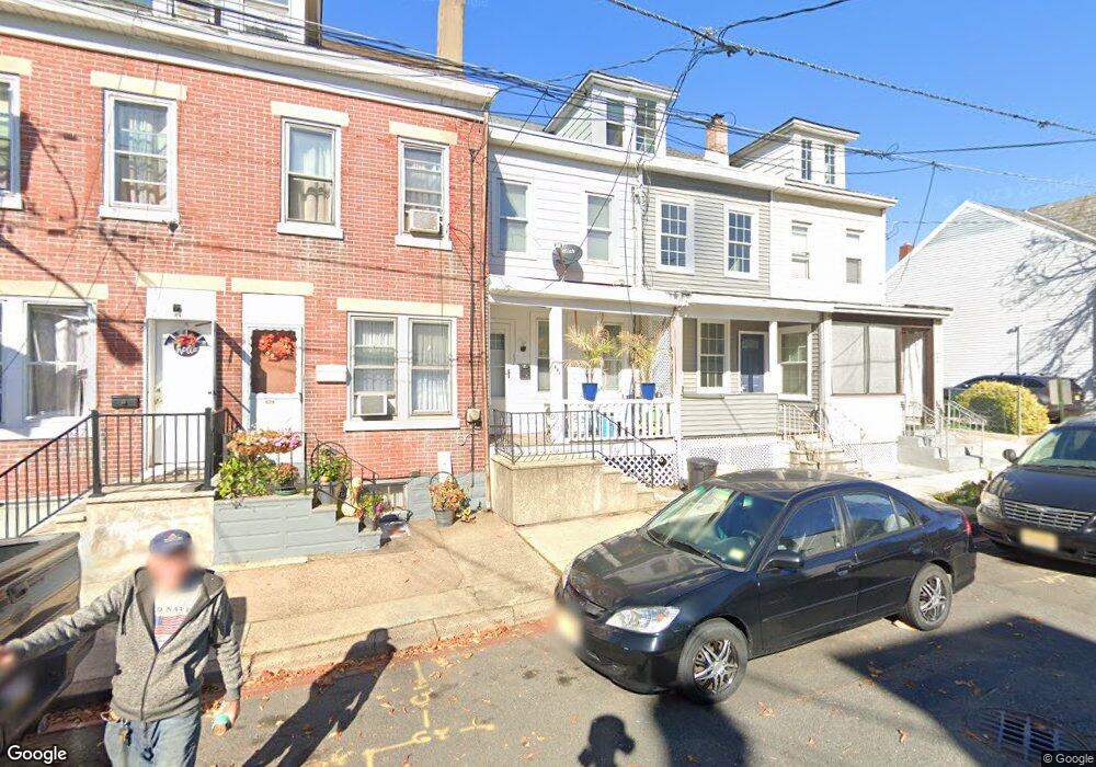
631 Ohio Ave Ewing, NJ 08638
North Trenton NeighborhoodEstimated Value: $141,000 - $170,000
--
Bed
--
Bath
882
Sq Ft
$183/Sq Ft
Est. Value
About This Home
This home is located at 631 Ohio Ave, Ewing, NJ 08638 and is currently estimated at $161,812, approximately $183 per square foot. 631 Ohio Ave is a home located in Mercer County with nearby schools including Dr. Crosby Copeland Elementary School, Dr. Martin Luther King Middle School, and Trenton Central High School - Main Campus.
Ownership History
Date
Name
Owned For
Owner Type
Purchase Details
Closed on
May 4, 2006
Sold by
Rembowski Stainslaw
Bought by
Canosa John and Canosa Christine
Current Estimated Value
Purchase Details
Closed on
Sep 20, 2001
Sold by
Tague Gerald
Bought by
Rembowski Stainislaw and Rembowski Irena
Home Financials for this Owner
Home Financials are based on the most recent Mortgage that was taken out on this home.
Original Mortgage
$37,000
Interest Rate
6.91%
Create a Home Valuation Report for This Property
The Home Valuation Report is an in-depth analysis detailing your home's value as well as a comparison with similar homes in the area
Home Values in the Area
Average Home Value in this Area
Purchase History
| Date | Buyer | Sale Price | Title Company |
|---|---|---|---|
| Canosa John | $94,000 | -- | |
| Rembowski Stainislaw | $46,250 | -- |
Source: Public Records
Mortgage History
| Date | Status | Borrower | Loan Amount |
|---|---|---|---|
| Previous Owner | Rembowski Stainislaw | $37,000 |
Source: Public Records
Tax History Compared to Growth
Tax History
| Year | Tax Paid | Tax Assessment Tax Assessment Total Assessment is a certain percentage of the fair market value that is determined by local assessors to be the total taxable value of land and additions on the property. | Land | Improvement |
|---|---|---|---|---|
| 2025 | $2,442 | $42,100 | $6,800 | $35,300 |
| 2024 | $2,344 | $42,100 | $6,800 | $35,300 |
| 2023 | $2,344 | $42,100 | $6,800 | $35,300 |
| 2022 | $2,298 | $42,100 | $6,800 | $35,300 |
| 2021 | $2,338 | $42,100 | $6,800 | $35,300 |
| 2020 | $2,330 | $42,100 | $6,800 | $35,300 |
| 2019 | $2,293 | $42,100 | $6,800 | $35,300 |
| 2018 | $2,195 | $42,100 | $6,800 | $35,300 |
| 2017 | $2,086 | $42,100 | $6,800 | $35,300 |
| 2016 | $2,836 | $49,300 | $17,300 | $32,000 |
| 2015 | $2,826 | $49,300 | $17,300 | $32,000 |
| 2014 | $2,813 | $49,300 | $17,300 | $32,000 |
Source: Public Records
Map
Nearby Homes
- 920 Brunswick Ave
- 813 Spruce St
- 840 Pennsylvania Ave
- 23 Cain Ave
- 1314 Princeton Ave
- 902 Ohio Ave
- 1415 Princeton Ave
- 21 Stout Ave
- 1134 Brunswick Ave
- 613 N Olden Ave
- 709 Mulberry St
- 68 Myrtle Ave
- 94 100 E Paul Ave
- 816 Mulberry St
- 101 Sherman Ave
- 103 Sherman Ave
- 83 E Paul Ave
- 36 E Paul Ave
- 18 Meade St
- 359 Saint Joes Ave